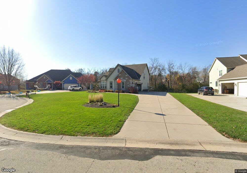
W244N2739 Single Tree Dr Pewaukee, WI 53072
Estimated Value: $795,709 - $990,000
--
Bed
--
Bath
--
Sq Ft
0.36
Acres
About This Home
This home is located at W244N2739 Single Tree Dr, Pewaukee, WI 53072 and is currently estimated at $912,927. W244N2739 Single Tree Dr is a home located in Waukesha County with nearby schools including Pewaukee Lake Elementary School, Asa Clark Middle School, and Pewaukee High School.
Ownership History
Date
Name
Owned For
Owner Type
Purchase Details
Closed on
Aug 13, 2007
Sold by
Kindberg Todd A and Kindberg Amber D
Bought by
Burkemper David L and Burkemper Kelly F
Current Estimated Value
Home Financials for this Owner
Home Financials are based on the most recent Mortgage that was taken out on this home.
Original Mortgage
$417,000
Outstanding Balance
$263,483
Interest Rate
6.62%
Mortgage Type
Purchase Money Mortgage
Estimated Equity
$649,444
Purchase Details
Closed on
Apr 22, 2005
Sold by
Creekside Preserve Llc
Bought by
Kindberg Todd A and Kindberg Amber D
Create a Home Valuation Report for This Property
The Home Valuation Report is an in-depth analysis detailing your home's value as well as a comparison with similar homes in the area
Home Values in the Area
Average Home Value in this Area
Purchase History
| Date | Buyer | Sale Price | Title Company |
|---|---|---|---|
| Burkemper David L | $560,000 | Burnet Title Llc | |
| Kindberg Todd A | $139,000 | -- |
Source: Public Records
Mortgage History
| Date | Status | Borrower | Loan Amount |
|---|---|---|---|
| Open | Burkemper David L | $417,000 |
Source: Public Records
Tax History Compared to Growth
Tax History
| Year | Tax Paid | Tax Assessment Tax Assessment Total Assessment is a certain percentage of the fair market value that is determined by local assessors to be the total taxable value of land and additions on the property. | Land | Improvement |
|---|---|---|---|---|
| 2024 | $6,850 | $590,500 | $162,400 | $428,100 |
| 2023 | $6,826 | $590,500 | $162,400 | $428,100 |
| 2022 | $7,082 | $590,500 | $162,400 | $428,100 |
| 2021 | $7,055 | $590,500 | $162,400 | $428,100 |
| 2020 | $7,284 | $489,700 | $130,800 | $358,900 |
| 2019 | $7,103 | $489,700 | $130,800 | $358,900 |
| 2018 | $6,841 | $489,700 | $130,800 | $358,900 |
| 2017 | $6,942 | $489,700 | $130,800 | $358,900 |
| 2016 | $7,063 | $489,700 | $130,800 | $358,900 |
| 2015 | $7,148 | $489,700 | $130,800 | $358,900 |
| 2014 | $7,808 | $489,700 | $130,800 | $358,900 |
| 2013 | $7,808 | $489,700 | $130,800 | $358,900 |
Source: Public Records
Map
Nearby Homes
- W241N2573 E Parkway Meadow Cir Unit 3
- N25W24117 River Park Dr Unit 2
- W241N2545 E Parkway Meadow Cir Unit 7
- W240N2532 E Parkway Meadow Cir Unit 4
- N24W24030 Brandon Oaks Dr Unit A
- N24W24041 Stillwater Ln Unit A
- W240N2500 E Parkway Meadow Cir Unit 8
- 1136 Oxbow Ct
- W243N2280 Deer Park Dr Unit A
- 1019 Waterstone Ct
- 1039 Waterstone Ct
- N28W25285 Parkway Ridge Cir Unit C Bldg 14 Unit 49
- N28W25285 Parkway Ridge Cir Unit D Bldg 14 Unit 50
- N28W25273 Parkway Ridge Cir Unit A Bldg 13 Unit 48
- N22W24144 Cloister Cir Unit 6C
- 377 Briar Ct
- N21W24352 Cumberland Dr Unit 31I
- 1343 Meadowcreek Dr Unit B
- N28W25285 Madeline Blvd Unit A Bldg 14 Unit 52
- N21W24305 Cumberland Dr Unit 38 N
- W245N2741 Single Tree Dr
- W244N2737 Single Tree Dr
- W244N2733 Single Tree Dr
- W245N2749 Single Tree Dr
- W244N2748 Single Tree Dr
- W243N2736 Single Tree Dr
- W243N2731 Single Tree Dr
- W242N2731 N Single Tree Dr
- W245N2753 Single Tree Dr
- W244N2750 Single Tree Dr
- W243N2732 Single Tree Dr
- W243N2719 Creekside Ct
- W243N2709 Creekside Ct
- W245N2761 Single Tree Dr
- W244N2758 Single Tree Dr
- N27W24340 Single Tree Dr
- W243N2707 Creekside Ct
- W243N2715 Creekside Ct
- W242N2731 Single Tree Dr
- W244N2766 Single Tree Dr