W3125 55th St Mauston, WI 53948
Estimated Value: $366,000 - $455,000
--
Bed
--
Bath
--
Sq Ft
5.04
Acres
About This Home
This home is located at W3125 55th St, Mauston, WI 53948 and is currently estimated at $396,942. W3125 55th St is a home located in Juneau County with nearby schools including Lyndon Station Elementary School, West Side Elementary School, and Grayside Elementary School.
Ownership History
Date
Name
Owned For
Owner Type
Purchase Details
Closed on
May 25, 2018
Sold by
Stearns Robert L and As Carolyn
Bought by
Stearns Anthony H
Current Estimated Value
Purchase Details
Closed on
Dec 3, 2017
Sold by
Stearns Robert L and Stearns Carolyn
Bought by
Stearns Robert L and Stearns Carolyn A
Purchase Details
Closed on
Apr 27, 2013
Sold by
Stearns Toby and Stearns Amalia J
Bought by
Stearns Robert and Stearns Carolyn L
Create a Home Valuation Report for This Property
The Home Valuation Report is an in-depth analysis detailing your home's value as well as a comparison with similar homes in the area
Home Values in the Area
Average Home Value in this Area
Purchase History
| Date | Buyer | Sale Price | Title Company |
|---|---|---|---|
| Stearns Anthony H | $180,000 | -- | |
| Stearns Robert L | $172,200 | -- | |
| Stearns Robert | $18,100 | -- |
Source: Public Records
Tax History Compared to Growth
Tax History
| Year | Tax Paid | Tax Assessment Tax Assessment Total Assessment is a certain percentage of the fair market value that is determined by local assessors to be the total taxable value of land and additions on the property. | Land | Improvement |
|---|---|---|---|---|
| 2024 | $4,470 | $328,700 | $23,800 | $304,900 |
| 2023 | $4,281 | $328,700 | $23,800 | $304,900 |
| 2022 | $3,327 | $176,700 | $17,100 | $159,600 |
| 2021 | $3,435 | $176,700 | $17,100 | $159,600 |
| 2020 | $3,586 | $176,700 | $17,100 | $159,600 |
| 2019 | $3,342 | $172,200 | $12,600 | $159,600 |
| 2018 | $3,141 | $172,200 | $12,600 | $159,600 |
| 2017 | $3,074 | $172,200 | $12,600 | $159,600 |
| 2016 | $3,952 | $172,200 | $12,600 | $159,600 |
| 2015 | $3,952 | $172,200 | $12,600 | $159,600 |
| 2014 | $2,909 | $180,400 | $18,100 | $162,300 |
| 2013 | $3,134 | $180,400 | $18,100 | $162,300 |
Source: Public Records
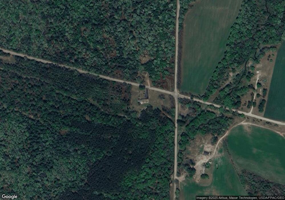
Map
Nearby Homes
- N3974 County Road Hh
- W2705 Wisconsin 82
- 4138 W County Rd N Rd
- 40.01 ac Langer
- 316 N Washington St
- 231 Lemonweir St
- N4755 County Road Hh
- 80.41 Acres 22nd Ave
- W4663 U S 12
- W2047 County Rd N
- W1976 County Rd N
- Lot 24 Cemetery Rd
- N2629 River Highland Dr
- 3355 State Road 13 -
- 11 Fir Trail
- 5 Fir Trail
- 2 Fir Trail
- 5 Walnut Trail
- N2598 River Highland Dr
- 8 Spruce Trail
- L9 24th Ave
- L2 55th St
- L11 55th St
- L5 55th St
- 0 24th Ave Unit 1539676
- 0 24th Ave Unit 1560178
- 0 24th Ave Unit 1583896
- N3204 24th Ave
- 20 Ac 24th Ave
- 20 Acres 24th Ave
- Lot 9&10 55th St
- Lot 9 24th Ave
- 40 Ac 24th Ave
- 40 Acres 24th Ave
- 102.8 55th St
- 105.8 Ac 55th St
- 105.8 Acres 55th St
- W3044 55th St
- N3136 24th Ave
- W3284 55th St