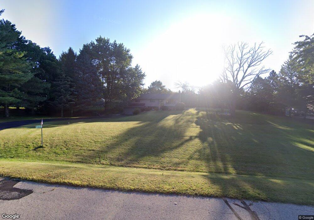
W320S1586 High Meadow Cir Delafield, WI 53018
Estimated Value: $434,936 - $625,000
--
Bed
--
Bath
--
Sq Ft
0.93
Acres
About This Home
This home is located at W320S1586 High Meadow Cir, Delafield, WI 53018 and is currently estimated at $546,984. W320S1586 High Meadow Cir is a home located in Waukesha County with nearby schools including Wales Elementary School, Kettle Moraine Middle School, and Kettle Moraine High School.
Ownership History
Date
Name
Owned For
Owner Type
Purchase Details
Closed on
Apr 19, 2008
Sold by
Ring Patrick A and Schreiber Ring Cheryl L
Bought by
Nighbert Matthew T and Nighbert Susanne M
Current Estimated Value
Home Financials for this Owner
Home Financials are based on the most recent Mortgage that was taken out on this home.
Original Mortgage
$206,550
Interest Rate
6.51%
Mortgage Type
Purchase Money Mortgage
Purchase Details
Closed on
Jul 15, 2002
Sold by
Anderson Neal O
Bought by
Ring Patrick A and Schreiber Ring Cheryl L
Home Financials for this Owner
Home Financials are based on the most recent Mortgage that was taken out on this home.
Original Mortgage
$190,000
Interest Rate
4.75%
Purchase Details
Closed on
Apr 14, 1999
Sold by
Hannan Robert R and Hannan Barbara A
Bought by
Anderson Neal O
Home Financials for this Owner
Home Financials are based on the most recent Mortgage that was taken out on this home.
Original Mortgage
$118,400
Interest Rate
7.17%
Create a Home Valuation Report for This Property
The Home Valuation Report is an in-depth analysis detailing your home's value as well as a comparison with similar homes in the area
Home Values in the Area
Average Home Value in this Area
Purchase History
| Date | Buyer | Sale Price | Title Company |
|---|---|---|---|
| Nighbert Matthew T | $243,000 | None Available | |
| Ring Patrick A | $200,000 | Heritage Title | |
| Anderson Neal O | $148,000 | -- |
Source: Public Records
Mortgage History
| Date | Status | Borrower | Loan Amount |
|---|---|---|---|
| Previous Owner | Nighbert Matthew T | $206,550 | |
| Previous Owner | Ring Patrick A | $190,000 | |
| Previous Owner | Anderson Neal O | $118,400 |
Source: Public Records
Tax History Compared to Growth
Tax History
| Year | Tax Paid | Tax Assessment Tax Assessment Total Assessment is a certain percentage of the fair market value that is determined by local assessors to be the total taxable value of land and additions on the property. | Land | Improvement |
|---|---|---|---|---|
| 2024 | $3,266 | $331,500 | $137,000 | $194,500 |
| 2023 | $2,950 | $322,000 | $127,500 | $194,500 |
| 2022 | $3,168 | $289,000 | $104,000 | $185,000 |
| 2021 | $3,119 | $223,500 | $50,000 | $173,500 |
| 2020 | $3,190 | $223,500 | $50,000 | $173,500 |
| 2019 | $2,994 | $223,000 | $50,000 | $173,000 |
| 2018 | $3,044 | $223,000 | $50,000 | $173,000 |
| 2017 | $2,958 | $223,000 | $50,000 | $173,000 |
| 2016 | $3,018 | $223,000 | $50,000 | $173,000 |
| 2015 | $3,020 | $223,000 | $50,000 | $173,000 |
| 2014 | $2,994 | $223,000 | $50,000 | $173,000 |
| 2013 | $2,994 | $223,000 | $50,000 | $173,000 |
Source: Public Records
Map
Nearby Homes
- S16W32109 High Meadow Cir
- S14W31855 High Meadow Ln
- 108 E Oak Crest Dr Unit 110
- 215 Criglas Rd
- W316S838 Hidden Hollow
- 116 W Main St
- 329 Breck Rd
- 118 E Main St
- 400 S Highland St Unit A
- 436 Thomas Rd
- 205 Kummrow Ct
- 902 Meyers Ct
- W316S198 Wisconsin 83
- 715 Lochtyn Ridge
- 545 Thomas Rd
- 447 Dugan Rd
- 327 Wakefield Downs
- S23W30709 Brecon Way
- 131 Legend Way
- 105 Legend Way
- W320S1606 High Meadow Cir
- W320S1556 High Meadow Cir
- S16W32069 High Meadow Cir
- W320S1619 High Meadow Cir
- S15W32035 High Meadow Cir
- W320S1557 High Meadow Cir
- S16W32085 High Meadow Cir
- S16W32140 High Meadow Cir
- S15W32094 High Meadow Cir
- S15W31931 High Meadow Ln
- S15W32135 High Meadow Cir
- S16W32133 High Meadow Cir
- S15W32028 High Meadow Cir
- S15W32056 High Meadow Cir
- S16W32157 High Meadow Cir
- S15W31925 Meadow View Ct
- S15W32130 High Meadow Cir
- S15W31960 High Meadow Ln
- S15W31885 Meadowview Ct
- S16W32183 High Meadow Cir