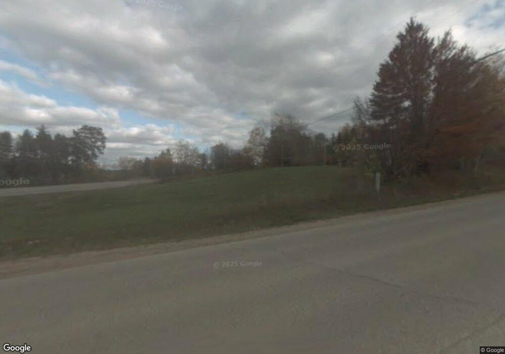
W4524 County Road 573 Vulcan, MI 49892
Estimated Value: $146,000 - $360,000
--
Bed
--
Bath
--
Sq Ft
10.61
Acres
About This Home
This home is located at W4524 County Road 573, Vulcan, MI 49892 and is currently estimated at $251,172. W4524 County Road 573 is a home located in Dickinson County with nearby schools including Norway Elementary School, Vulcan Middle School, and Norway High School.
Ownership History
Date
Name
Owned For
Owner Type
Purchase Details
Closed on
Mar 22, 2010
Sold by
Simkins Wayne V and Simkins Jenny M
Bought by
Schwamlien Jon D and Schwamlien Pamela L
Current Estimated Value
Create a Home Valuation Report for This Property
The Home Valuation Report is an in-depth analysis detailing your home's value as well as a comparison with similar homes in the area
Home Values in the Area
Average Home Value in this Area
Purchase History
| Date | Buyer | Sale Price | Title Company |
|---|---|---|---|
| Schwamlien Jon D | $6,000 | -- |
Source: Public Records
Tax History Compared to Growth
Tax History
| Year | Tax Paid | Tax Assessment Tax Assessment Total Assessment is a certain percentage of the fair market value that is determined by local assessors to be the total taxable value of land and additions on the property. | Land | Improvement |
|---|---|---|---|---|
| 2025 | $2,274 | $114,800 | $114,800 | $0 |
| 2024 | $1,578 | $112,400 | $112,400 | $0 |
| 2023 | $1,493 | $97,700 | $0 | $0 |
| 2022 | $2,078 | $90,100 | $0 | $0 |
| 2021 | $2,049 | $81,000 | $0 | $0 |
| 2020 | $2,022 | $80,300 | $0 | $0 |
| 2019 | $1,984 | $74,100 | $0 | $0 |
| 2018 | $1,898 | $74,100 | $0 | $0 |
| 2017 | $1,338 | $74,000 | $0 | $0 |
| 2016 | $1,375 | $73,100 | $0 | $0 |
| 2014 | $1,791 | $73,600 | $0 | $0 |
| 2012 | $1,791 | $74,000 | $0 | $0 |
Source: Public Records
Map
Nearby Homes
- W5049 Main St
- N1713 Spring St
- N1537 Ball Rd
- 514 Hacey St
- TBD Sundance Dr Unit 1
- TBD Sundance Dr Unit Lots 3 & 4
- TBD Us2
- TBD E Us 2
- TBD Sundance Dr Unit 5
- TBD Sundance Dr Unit 2
- W5636 Crescent St
- 611 Railroad Ave
- 514 Mine St
- 425 Mine St
- 212 Iron St Unit 218 Iron Steet
- 117 Mine St
- 317 Main St
- 626 Brown St
- 319 Brown St
- 111 E 9th Ave
- W4524 County Road 573
- W4552 County Road 573
- W4638 Main St
- W4638 Main St
- W4689 County Road 573
- W4419 County Road 573
- W4689 County Road 573
- W4487 County Road 573
- W4524 Co Rd 573
- W4521 County Road 573
- W4521 County Road 573
- W4564 County Road 573
- W4470 County Road 573
- N2091 Stone Cliff Dr
- N2321 Mooses Rd
- W4537 County Road 573
- 2380 N Mooses Rd
- W4463 County Road 573
- W4414 County Road 573
- W4410 County Road 573
