W5122 480th Ave Ellsworth, WI 54011
Estimated Value: $205,000 - $681,090
Studio
--
Bath
--
Sq Ft
849,420
Sq Ft Lot
About This Home
This home is located at W5122 480th Ave, Ellsworth, WI 54011 and is currently estimated at $537,523. W5122 480th Ave is a home located in Pierce County with nearby schools including Ellsworth High School.
Ownership History
Date
Name
Owned For
Owner Type
Purchase Details
Closed on
Jan 1, 2007
Sold by
Dressen James P and Dressen Pamela A
Bought by
Lange Jason and Lange Diana
Current Estimated Value
Home Financials for this Owner
Home Financials are based on the most recent Mortgage that was taken out on this home.
Original Mortgage
$80,000
Outstanding Balance
$45,883
Interest Rate
5.95%
Mortgage Type
Seller Take Back
Estimated Equity
$491,640
Purchase Details
Closed on
Sep 8, 2006
Sold by
Matzek David W and Matzek Therese A
Bought by
Matzek Norman W and Matzek Mary L
Create a Home Valuation Report for This Property
The Home Valuation Report is an in-depth analysis detailing your home's value as well as a comparison with similar homes in the area
Home Values in the Area
Average Home Value in this Area
Purchase History
| Date | Buyer | Sale Price | Title Company |
|---|---|---|---|
| Lange Jason | $80,000 | None Available | |
| Matzek Norman W | -- | None Available |
Source: Public Records
Mortgage History
| Date | Status | Borrower | Loan Amount |
|---|---|---|---|
| Open | Lange Jason | $80,000 |
Source: Public Records
Tax History
| Year | Tax Paid | Tax Assessment Tax Assessment Total Assessment is a certain percentage of the fair market value that is determined by local assessors to be the total taxable value of land and additions on the property. | Land | Improvement |
|---|---|---|---|---|
| 2025 | $7,949 | $433,900 | $91,100 | $342,800 |
| 2024 | $7,807 | $433,900 | $91,100 | $342,800 |
| 2023 | $7,105 | $433,900 | $91,100 | $342,800 |
| 2022 | $5,696 | $433,900 | $91,100 | $342,800 |
| 2021 | $6,557 | $433,900 | $91,100 | $342,800 |
| 2020 | $6,025 | $268,600 | $76,200 | $192,400 |
| 2019 | $4,942 | $227,500 | $76,200 | $151,300 |
| 2018 | $4,767 | $227,500 | $76,200 | $151,300 |
| 2017 | $4,745 | $227,500 | $76,200 | $151,300 |
| 2016 | $4,907 | $227,500 | $76,200 | $151,300 |
| 2015 | $4,621 | $227,500 | $76,200 | $151,300 |
| 2014 | $4,486 | $227,500 | $76,200 | $151,300 |
| 2013 | $4,045 | $215,600 | $67,100 | $148,500 |
Source: Public Records
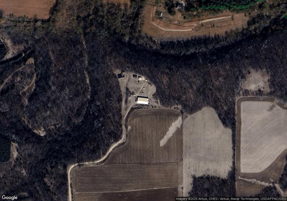
Map
Nearby Homes
- 332 Pleasant Ave
- XXX N Northview St
- 146 E Main St
- W6726 410th Ave
- 808 S Piety St
- 195 W Humble Ave
- 195 W Grove St
- W3844 650th Ave
- 232 S Chestnut St
- 230 S Chestnut St
- 236 S Chestnut St
- 234 S Chestnut St
- 375A W Kinne St
- 740 S Maple St
- 137 N Oak St
- 314 N Maple St
- 883 N Grant St
- 873 Hills Ln
- 871 N Grant St
- 638 W Dale St
- N5011 490th St
- N5011 490th St
- N6335 490th St
- W5060 480th Ave
- W5006 480th Ave
- N5014 490th St
- W5244 480th Ave
- W5244 480th Avenue Ave
- W5043 480th Ave
- N5164 490th St
- w 5214 480th Ave
- W5214 480th Ave
- W4989 480th Ave
- N4824 530th St
- N4824 530th St
- N5099 490th St
- N5098 530th St
- N4730 515th St
- W5015 480th Ave
- N4762 530th St
Your Personal Tour Guide
Ask me questions while you tour the home.