W5884 Number 4.5 Ln Menominee, MI 49858
Estimated Value: $203,000 - $360,000
--
Bed
--
Bath
1,707
Sq Ft
$170/Sq Ft
Est. Value
About This Home
This home is located at W5884 Number 4.5 Ln, Menominee, MI 49858 and is currently estimated at $289,838, approximately $169 per square foot. W5884 Number 4.5 Ln is a home with nearby schools including Central Elementary School, Blesch Intermediate School, and Menominee Junior High School.
Ownership History
Date
Name
Owned For
Owner Type
Purchase Details
Closed on
Jun 1, 2016
Sold by
Lange Erhardt C and Lange Jane F
Bought by
Warner Kathleen and Bradford Warner
Current Estimated Value
Purchase Details
Closed on
Feb 18, 2013
Sold by
Lange Erhardt and Lange Jane
Bought by
Lange Erhardt C and Lange Jane F
Purchase Details
Closed on
May 9, 2012
Sold by
Lange Erhardt and Lange Jane
Bought by
Lange Erhardt and Lange Jane
Purchase Details
Closed on
Dec 7, 1995
Sold by
Wilderness Equestrian Club Inc
Bought by
Lange Erhardt and Lange Jane
Create a Home Valuation Report for This Property
The Home Valuation Report is an in-depth analysis detailing your home's value as well as a comparison with similar homes in the area
Home Values in the Area
Average Home Value in this Area
Purchase History
| Date | Buyer | Sale Price | Title Company |
|---|---|---|---|
| Warner Kathleen | $138,000 | -- | |
| Lange Erhardt C | -- | -- | |
| Lange Erhardt | -- | -- | |
| Lange Erhardt | $10,200 | -- |
Source: Public Records
Tax History Compared to Growth
Tax History
| Year | Tax Paid | Tax Assessment Tax Assessment Total Assessment is a certain percentage of the fair market value that is determined by local assessors to be the total taxable value of land and additions on the property. | Land | Improvement |
|---|---|---|---|---|
| 2025 | $1,840 | $111,400 | $8,100 | $103,300 |
| 2024 | $1,722 | $100,700 | $7,600 | $93,100 |
| 2023 | $450 | $87,900 | $87,900 | $0 |
| 2022 | $450 | $87,900 | $87,900 | $0 |
| 2021 | $450 | $77,300 | $4,500 | $72,800 |
| 2020 | $450 | $71,600 | $0 | $0 |
| 2019 | -- | $73,500 | $0 | $0 |
| 2018 | -- | $73,300 | $73,300 | $0 |
| 2017 | -- | $67,700 | $67,700 | $0 |
| 2016 | -- | $67,100 | $0 | $0 |
| 2015 | -- | $67,100 | $0 | $0 |
| 2014 | -- | $63,400 | $63,400 | $0 |
| 2013 | $450 | $61,500 | $0 | $0 |
Source: Public Records
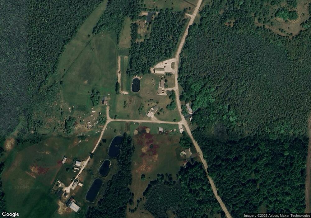
Map
Nearby Homes
- W5478 Elmwood Rd
- N1058 U S 41
- TBD E State Highway M35
- 0 E State Highway M35
- N3032 Us Highway 41
- N2238 S R1 Ln
- 605 46th Ave
- 4612 5th St
- 417 46th Ave
- 4307 13th St
- W6939 3 5 Rd
- 0 2 5 Rd
- 4012 13th St
- 4116 Michigan Shores Dr
- 4017 N Shore Dr
- 4003 Michigan Shores Dr
- N2575 Michigan 35
- N698 County Road 577
- 1705 38th Ave
- 1413 38th Ave
- W5904 Number 4.5 Ln
- W5905 Number 4.5 Ln
- N1881 Bay de Noc Dr
- N1923 Bay de Noc Dr
- N1961 Bay de Noc Dr
- N1906 Bay de Noc Dr
- N1805 Bay de Noc Dr
- N1812 Bay de Noc Dr
- N2006 Bay de Noc Dr
- N1891 Us Highway 41
- N1909 Us Highway 41
- N1873 Us Highway 41
- N1899 Us Highway 41
- N1881 Us Highway 41
- 1861 10th St
- N1843 Us Highway 41
- N1814 State Highway M35
- N1870 Us Highway 41
- N1896 Us Highway 41
- N1817 Us Highway 41