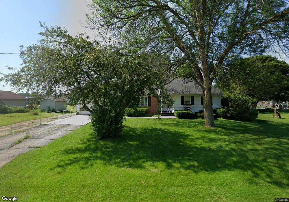
W611 Isaac St Stephenson, MI 49887
Estimated Value: $169,023 - $199,000
3
Beds
2
Baths
1,303
Sq Ft
$138/Sq Ft
Est. Value
About This Home
This home is located at W611 Isaac St, Stephenson, MI 49887 and is currently estimated at $179,756, approximately $137 per square foot. W611 Isaac St is a home with nearby schools including Stephenson High School and Uplift Michigan Online School.
Ownership History
Date
Name
Owned For
Owner Type
Purchase Details
Closed on
May 6, 2014
Sold by
Petersen Marilyn J
Bought by
Petersen Marilyn
Current Estimated Value
Purchase Details
Closed on
May 12, 2008
Sold by
Peterson Marilyn J
Bought by
Petersen Marilyn J and Lebeau Francis
Purchase Details
Closed on
Apr 30, 2008
Sold by
Johnson Eunice Etal
Bought by
Imhoff Jean H
Purchase Details
Closed on
Apr 17, 2008
Sold by
Imhoff Jean H Etal
Bought by
Peterson Marilyn J and Lebeau Francis
Create a Home Valuation Report for This Property
The Home Valuation Report is an in-depth analysis detailing your home's value as well as a comparison with similar homes in the area
Purchase History
| Date | Buyer | Sale Price | Title Company |
|---|---|---|---|
| Petersen Marilyn | -- | -- | |
| Petersen Marilyn J | -- | -- | |
| Imhoff Jean H | -- | -- | |
| Peterson Marilyn J | $101,000 | -- |
Source: Public Records
Tax History
| Year | Tax Paid | Tax Assessment Tax Assessment Total Assessment is a certain percentage of the fair market value that is determined by local assessors to be the total taxable value of land and additions on the property. | Land | Improvement |
|---|---|---|---|---|
| 2025 | $1,729 | $68,200 | $4,800 | $63,400 |
| 2024 | $1,526 | $59,600 | $3,500 | $56,100 |
| 2023 | $474 | $57,000 | $57,000 | $0 |
| 2022 | $1,453 | $57,000 | $57,000 | $0 |
| 2021 | $1,403 | $51,800 | $2,800 | $49,000 |
| 2020 | $474 | $45,000 | $0 | $0 |
| 2019 | $1,291 | $43,500 | $0 | $0 |
| 2018 | $1,378 | $45,400 | $45,400 | $0 |
| 2017 | -- | $47,100 | $47,100 | $0 |
| 2016 | -- | $46,200 | $0 | $0 |
| 2015 | -- | $46,200 | $0 | $0 |
| 2014 | -- | $46,800 | $46,800 | $0 |
| 2013 | -- | $47,400 | $0 | $0 |
Source: Public Records
Map
Nearby Homes
- S327 Section St
- W624 Division St
- 402 South Dr
- E807 Gerue St
- N9035 Gustafson Rd
- N9264 U S 41
- TBD M35
- N9615 Badish Rd
- N9578 Lance Rd
- 0 Kay Dr K1 Dr
- Lt43 Menominee Woods Dr
- 0 Menominee Shores Dr Unit 50309184
- 0 Menominee Shores Dr Unit 50313854
- N6403 County Road 577
- 0 County Road 356
- 10896 County Road 356
- W6285 Co G-08 Rd
- N11217 Rademaker Rd
- N11169 Rademaker Rd
- N11798 Old Us41 Hwy
- W629 Isaac St
- W621 Isaac St
- S205 S School St
- S209 Solander St Aly
- N219 Bartell St
- W527 Division St
- S405 Railroad St
- S105 Railroad St
- N115 Bartell St
- N211 Bartell St
- S404 Menominee St
- S212 S School St
- S204 S School St
- W518 Robert St
- S221 Railroad St
- S203 Railroad St
- W636 Samuel St
- W701 Division St
- W619 Division St
- W711 Division St
Your Personal Tour Guide
Ask me questions while you tour the home.