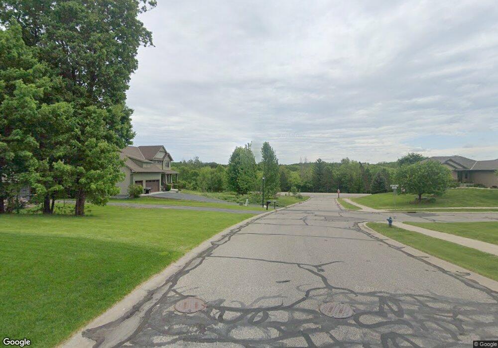
XXX Shadow Ridge Rockford, MN 55373
Estimated Value: $490,594 - $552,000
4
Beds
3
Baths
2,500
Sq Ft
$209/Sq Ft
Est. Value
About This Home
This home is located at XXX Shadow Ridge, Rockford, MN 55373 and is currently estimated at $522,649, approximately $209 per square foot. XXX Shadow Ridge is a home located in Wright County with nearby schools including Rockford Elementary Arts Magnet School, Rockford Middle School - Center for Environmental Studies, and Rockford High School.
Ownership History
Date
Name
Owned For
Owner Type
Purchase Details
Closed on
Aug 9, 2013
Sold by
Carmel Builders Inc
Bought by
Stark Chad P and Stark Erica E
Current Estimated Value
Home Financials for this Owner
Home Financials are based on the most recent Mortgage that was taken out on this home.
Original Mortgage
$290,448
Outstanding Balance
$214,783
Interest Rate
4.25%
Mortgage Type
New Conventional
Estimated Equity
$307,866
Purchase Details
Closed on
Mar 31, 2010
Sold by
Citizens State Bank Of Waverly Inc
Bought by
Carmel Builders Inc
Create a Home Valuation Report for This Property
The Home Valuation Report is an in-depth analysis detailing your home's value as well as a comparison with similar homes in the area
Home Values in the Area
Average Home Value in this Area
Purchase History
| Date | Buyer | Sale Price | Title Company |
|---|---|---|---|
| Stark Chad P | $305,736 | Northland Title Llc | |
| Stark Chad P | $305,735 | -- | |
| Carmel Builders Inc | $68,000 | -- |
Source: Public Records
Mortgage History
| Date | Status | Borrower | Loan Amount |
|---|---|---|---|
| Open | Stark Chad P | $290,448 |
Source: Public Records
Tax History Compared to Growth
Tax History
| Year | Tax Paid | Tax Assessment Tax Assessment Total Assessment is a certain percentage of the fair market value that is determined by local assessors to be the total taxable value of land and additions on the property. | Land | Improvement |
|---|---|---|---|---|
| 2025 | $5,072 | $439,700 | $75,000 | $364,700 |
| 2024 | $5,218 | $441,200 | $75,000 | $366,200 |
| 2023 | $5,162 | $462,600 | $75,000 | $387,600 |
| 2022 | $5,024 | $408,600 | $75,000 | $333,600 |
| 2021 | $5,076 | $356,800 | $50,000 | $306,800 |
| 2020 | $5,280 | $352,800 | $50,000 | $302,800 |
| 2019 | $5,538 | $344,900 | $0 | $0 |
| 2018 | $4,946 | $342,600 | $0 | $0 |
| 2017 | $4,676 | $328,600 | $0 | $0 |
| 2016 | $4,500 | $0 | $0 | $0 |
| 2015 | $4,542 | $0 | $0 | $0 |
| 2014 | -- | $0 | $0 | $0 |
Source: Public Records
Map
Nearby Homes
- 4090 Maple Hurst Dr S
- 4040 Maple Hurst Dr S
- 4231 Maple Hurst Dr N
- XXX Jansen Ave SE
- 6761 Maple Dr
- 6630 Maple Dr
- 7021 Meadow Ct
- 8130 Ravenrock Rd
- 8041 Prairie Trail
- 8530 Fir St
- 7040 Winfield Rd
- 3439 Hall Ave SE
- 6101 Boulder Ridge Dr
- 8833 Walnut Place
- 8800 86th Ave N
- 8098 26th St SE
- 7175 Sterling Dr
- 7624 Red Fox Trail
- 5523 Basswood Cir
- 7757 Sterling Dr
- 4060 Maple Hurst Dr S
- 3021 Shadow Ridge Dr
- 3021 3021 Shadow Ridge Dr
- 3031 Shadow Ridge Dr
- 3031 3031 Shadow Ridge
- 4070 Maple Hurst Dr S
- 4070 4070 Maple Hurst Dr S
- 4070 4070 Maple Hurst-Drive-s
- 4050 Maple Hurst Dr S
- 4050 4050 Maple Hurst Dr S
- xxx Balsam Ln
- 3011 Shadow Ridge Dr
- 3041 Shadow Ridge Dr
- 3041 3041 Shadow Ridge
- 4080 Maple Hurst Dr S
- 4080 4080 Maple Hurst Dr S
- 4061 Maple Hurst Dr S
- 4051 Maple Hurst Dr S
- 4051 Maple Hurst Dr S
- 3051 3051 Shadow Ridge-Drive-