XXXX Pinto Dr Browerville, MN 56438
Estimated Value: $292,590 - $343,000
--
Bed
--
Bath
952
Sq Ft
$334/Sq Ft
Est. Value
About This Home
This home is located at XXXX Pinto Dr, Browerville, MN 56438 and is currently estimated at $317,648, approximately $333 per square foot. XXXX Pinto Dr is a home located in Todd County with nearby schools including Staples Motley Senior High School.
Ownership History
Date
Name
Owned For
Owner Type
Purchase Details
Closed on
Oct 1, 2015
Sold by
Schwartzbauer Joseph P and Bundy Kerry
Bought by
Thompson Wayne H and Thompson Lashelle D
Current Estimated Value
Home Financials for this Owner
Home Financials are based on the most recent Mortgage that was taken out on this home.
Original Mortgage
$36,000
Outstanding Balance
$28,296
Interest Rate
3.85%
Estimated Equity
$289,352
Purchase Details
Closed on
Mar 28, 2005
Sold by
Schwartzbanar John M
Bought by
Schwartzbamor Joseph P
Create a Home Valuation Report for This Property
The Home Valuation Report is an in-depth analysis detailing your home's value as well as a comparison with similar homes in the area
Home Values in the Area
Average Home Value in this Area
Purchase History
| Date | Buyer | Sale Price | Title Company |
|---|---|---|---|
| Thompson Wayne H | -- | -- | |
| Thompson Wayne Wayne | $37,000 | -- | |
| Schwartzbamor Joseph P | -- | None Available |
Source: Public Records
Mortgage History
| Date | Status | Borrower | Loan Amount |
|---|---|---|---|
| Open | Thompson Wayne Wayne | $36,000 |
Source: Public Records
Tax History Compared to Growth
Tax History
| Year | Tax Paid | Tax Assessment Tax Assessment Total Assessment is a certain percentage of the fair market value that is determined by local assessors to be the total taxable value of land and additions on the property. | Land | Improvement |
|---|---|---|---|---|
| 2025 | $2,684 | $289,300 | $109,400 | $179,900 |
| 2024 | $2,842 | $290,300 | $109,400 | $180,900 |
| 2023 | $2,882 | $289,300 | $109,400 | $179,900 |
| 2022 | $2,476 | $262,600 | $93,200 | $169,400 |
| 2021 | $2,104 | $186,500 | $72,300 | $114,200 |
| 2020 | $1,590 | $190,900 | $79,700 | $111,200 |
| 2019 | $1,234 | $140,500 | $79,700 | $60,800 |
| 2018 | $830 | $106,000 | $69,700 | $36,300 |
| 2017 | $778 | $67,900 | $67,900 | $0 |
| 2016 | $604 | $67,900 | $67,900 | $0 |
| 2015 | $564 | $0 | $0 | $0 |
| 2014 | -- | $0 | $0 | $0 |
Source: Public Records
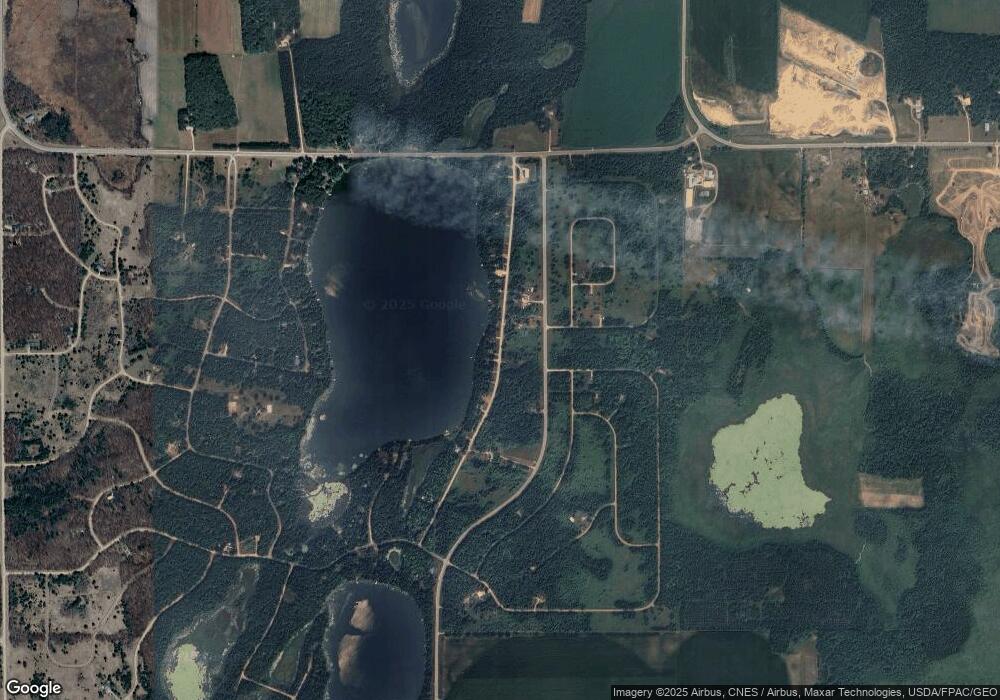
Map
Nearby Homes
- TBD Pike Ct
- 40161 Paradise Dr
- 40889 Penelope Loop
- TBD Penelope Loop
- 40039 County Road 17
- TBD Partridge Ct
- TBD Overland Dr
- 39906 Pine Island Point Dr
- lot 54 & 55 Pacer Loop
- lot 56 & 57 Pacer Loop
- 39604 Outing Ct
- 39xxx Osage Dr
- 0 Osage Dr
- 39561 Outing Ct
- 39817 Osage Dr
- 399xx Oriole Ct
- 39924 Oriole Ct
- TBD 392nd St
- XXX Pinewood Ct
- 28274 Orb Dr
- xxx Pinto Dr
- 40973 Pinto Dr
- 40929 Pinto Dr
- 40901 Pinto Dr
- 40879 Pinto Dr
- 40855 Pinto Dr
- 0 Portage Loop Unit 4000574
- 0 Portage Loop Unit 19791846
- 40831 Pinto Dr
- TBD Pinto Dr
- 29691 County Road 26
- 29691 County 26
- 29691 County 26
- 29691 County 26
- 29626 County 26
- 29691 29691 County 26
- 29691 County 26
- 29691 Co Road 26
- 29691 29691 County 26--
- 40803 Pinto Dr