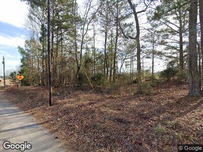
0 Laurel St Unit 7249999 Social Circle, GA 30025
Social Circle Neighborhood
3
Beds
2
Baths
1,258
Sq Ft
1.25
Acres
About This Home
This home is located at 0 Laurel St Unit 7249999, Social Circle, GA 30025. 0 Laurel St Unit 7249999 is a home located in Walton County with nearby schools including Social Circle Primary School, Social Circle Elementary School, and Social Circle Middle School.
Create a Home Valuation Report for This Property
The Home Valuation Report is an in-depth analysis detailing your home's value as well as a comparison with similar homes in the area
Home Values in the Area
Average Home Value in this Area
Tax History Compared to Growth
Map
Nearby Homes
- 2599 Georgia 11
- 420 Bear Cub Path
- 178 Elder Dr SE
- 178 Elder Dr SE Unit 103
- 582 S Cherokee Rd
- 1715 Highway 11 N
- 340 Cedar St
- 220 Cameron Way
- 241 E Ash St
- 218 Orwell Dr
- 218 Orwell Dr Unit 100
- 232 Orwell Dr
- 232 Orwell Dr Unit 99
- 246 Orwell Dr
- 246 Orwell Dr Unit 98
- 258 Orwell Dr
- 258 Orwell Dr Unit 97
- 0 Ash St
- 330 Orwell Dr
- 330 Orwell Dr Unit 96
- 0 Social Circle Pkwy Unit 7482123
- 0 Laurel St Unit 7249999
- 0 Social Circle Pkwy Unit 7562941
- 0 Laurel St Unit 7393199
- 0 Laurel St Unit 7266193
- 0 Social Circle Pkwy Unit 8910206
- 0 Social Circle Pkwy Unit Tract 1 8725648
- 0 Laurel St
- 0 Social Circle Pkwy
- 1211 Social Circle Pkwy
- 1211 Social Circle Pkwy
- 1211 Social Circle Pkwy
- 661 Laurel St
- 1249 Social Circle Pkwy
- 1249 Social Circle Pkwy
- 555 Laurel St
- N State Highway 11 Unit C
- 12.77 AC State Highway 11
- N State Highway 11
- 1017 State Highway 11