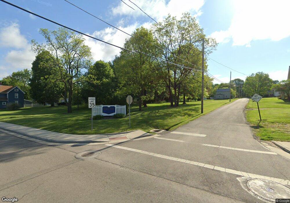
0 Liberty St Unit 4480959 Mineral Ridge, OH 44440
Austintown Neighborhood
--
Bed
--
Bath
--
Sq Ft
12.61
Acres
About This Home
This home is located at 0 Liberty St Unit 4480959, Mineral Ridge, OH 44440. 0 Liberty St Unit 4480959 is a home located in Mahoning County with nearby schools including Seaborn Elementary School, Mineral Ridge High School, and Niles Preparatory Academy.
Ownership History
Date
Name
Owned For
Owner Type
Purchase Details
Closed on
Jan 15, 2025
Sold by
Cross Frederick L and Cross Julie
Bought by
Dunlap Noah P
Home Financials for this Owner
Home Financials are based on the most recent Mortgage that was taken out on this home.
Original Mortgage
$77,600
Outstanding Balance
$76,371
Interest Rate
6.91%
Mortgage Type
New Conventional
Purchase Details
Closed on
Nov 9, 2021
Bought by
Frederick L Cross
Purchase Details
Closed on
May 22, 1978
Bought by
Wait Fred E and Wait Ethel M
Create a Home Valuation Report for This Property
The Home Valuation Report is an in-depth analysis detailing your home's value as well as a comparison with similar homes in the area
Home Values in the Area
Average Home Value in this Area
Purchase History
| Date | Buyer | Sale Price | Title Company |
|---|---|---|---|
| Dunlap Noah P | $97,000 | Title Professionals Group | |
| Dunlap Noah P | $97,000 | Title Professionals Group | |
| Frederick L Cross | -- | -- | |
| Wait Fred E | -- | -- |
Source: Public Records
Mortgage History
| Date | Status | Borrower | Loan Amount |
|---|---|---|---|
| Open | Dunlap Noah P | $77,600 | |
| Closed | Dunlap Noah P | $77,600 |
Source: Public Records
Tax History Compared to Growth
Tax History
| Year | Tax Paid | Tax Assessment Tax Assessment Total Assessment is a certain percentage of the fair market value that is determined by local assessors to be the total taxable value of land and additions on the property. | Land | Improvement |
|---|---|---|---|---|
| 2024 | $1,249 | $23,920 | $23,920 | -- |
| 2023 | $1,242 | $23,920 | $23,920 | $0 |
| 2022 | $1,313 | $22,320 | $22,320 | $0 |
| 2021 | $1,292 | $21,970 | $21,970 | $0 |
| 2020 | $1,297 | $21,970 | $21,970 | $0 |
| 2019 | $1,414 | $21,970 | $21,970 | $0 |
| 2018 | $1,365 | $21,970 | $21,970 | $0 |
| 2017 | $1,365 | $21,970 | $21,970 | $0 |
| 2016 | $1,532 | $23,730 | $23,730 | $0 |
| 2015 | $1,488 | $23,730 | $23,730 | $0 |
| 2014 | $1,499 | $23,730 | $23,730 | $0 |
| 2013 | $1,489 | $23,730 | $23,730 | $0 |
Source: Public Records
Map
Nearby Homes
- 0 W Webb Rd
- 21 E Liberty St
- 1445 E County Line Rd
- 1458 Lincoln Ave
- 1239 Woodledge Dr
- 1676 Rosalyn Cir
- 1757 E County Line Rd
- 3872 Main St
- 3907 Edwards St
- 1684 Morris St
- 5085 Winslow Dr
- 6 Omalia Dr
- 6360 Meander Glen Dr
- 6393 Meander Glen Dr
- 3474 S Main St
- 3440 Lakeside Dr
- 1218 Ohltown McDonald Rd
- 3328 Main St
- 2169 Salt Springs Rd
- 236 Charlestown Place
- 0 Liberty St Unit 4307897
- 5389 Liberty St E
- 5397 Liberty St E
- 5376 Liberty St E
- 76 Liberty St E
- 72 Liberty St E
- 67 Liberty St E
- 66 Liberty St E
- 66 Liberty St E
- 55 Liberty St E
- 68 Liberty St E
- 51 Liberty St E
- 0 E Liberty St
- 47 Liberty St E
- 1534 E County Line Rd
- 48 Liberty St E
- 1524 E County Line Rd
- 131 County Line
- 45 Liberty St E
- 1516 E County Line Rd