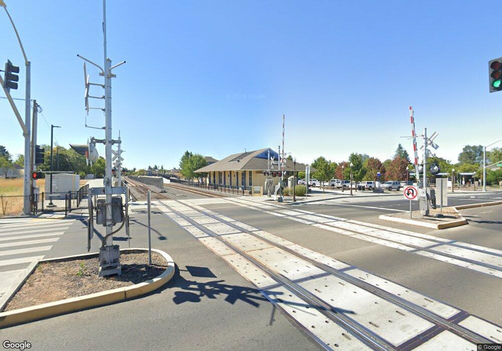
0 None Dr Cotati, CA 94931
Estimated Value: $966,000 - $1,252,000
3
Beds
3
Baths
2,432
Sq Ft
$445/Sq Ft
Est. Value
About This Home
This home is located at 0 None Dr, Cotati, CA 94931 and is currently estimated at $1,081,048, approximately $444 per square foot. 0 None Dr is a home with nearby schools including Rancho Cotate High School, Penngrove Elementary School, and Cross & Crown Lutheran School.
Ownership History
Date
Name
Owned For
Owner Type
Purchase Details
Closed on
Jan 14, 2016
Sold by
A R Development Llc
Bought by
Roy Michael J and Roy Barbara A
Current Estimated Value
Home Financials for this Owner
Home Financials are based on the most recent Mortgage that was taken out on this home.
Original Mortgage
$445,000
Outstanding Balance
$353,454
Interest Rate
3.92%
Mortgage Type
New Conventional
Estimated Equity
$727,594
Create a Home Valuation Report for This Property
The Home Valuation Report is an in-depth analysis detailing your home's value as well as a comparison with similar homes in the area
Home Values in the Area
Average Home Value in this Area
Purchase History
| Date | Buyer | Sale Price | Title Company |
|---|---|---|---|
| Roy Michael J | $695,000 | Old Republic Title Company |
Source: Public Records
Mortgage History
| Date | Status | Borrower | Loan Amount |
|---|---|---|---|
| Open | Roy Michael J | $445,000 |
Source: Public Records
Tax History
| Year | Tax Paid | Tax Assessment Tax Assessment Total Assessment is a certain percentage of the fair market value that is determined by local assessors to be the total taxable value of land and additions on the property. | Land | Improvement |
|---|---|---|---|---|
| 2025 | $9,601 | $822,731 | $329,092 | $493,639 |
| 2024 | $9,601 | $806,600 | $322,640 | $483,960 |
| 2023 | $9,601 | $790,785 | $316,314 | $474,471 |
| 2022 | $9,400 | $775,280 | $310,112 | $465,168 |
| 2021 | $9,318 | $760,080 | $304,032 | $456,048 |
| 2020 | $9,443 | $752,287 | $300,915 | $451,372 |
| 2019 | $9,322 | $737,537 | $295,015 | $442,522 |
| 2018 | $8,888 | $723,077 | $289,231 | $433,846 |
| 2017 | $8,738 | $708,900 | $283,560 | $425,340 |
| 2016 | $1,182 | $87,743 | $87,743 | $0 |
| 2015 | -- | $86,426 | $86,426 | $0 |
| 2014 | -- | $84,734 | $84,734 | $0 |
Source: Public Records
Map
Nearby Homes
- 8873 Lebec Ln
- 209 Veronda Ave
- 65 Lasker Ln
- 95 Jagla St
- 7 Kingston Way
- 293 Lincoln Ave
- 8633 Lancaster Dr
- 431 Lincoln Ave
- 8175 Arthur St
- 359 Bonnie Ave
- 9130 Water Rd
- 520 E Railroad Ave
- 79 William St Unit B
- 218 W Cotati Ave
- 411 Highland Ave
- 8356 Windmill Farms Dr
- 9053 Water Rd
- 8020 Beverly Dr
- 8201 Camino Colegio Unit 122
- 8201 Camino Colegio Unit 123
- 104 Ward Dr
- 8855 Lebec Ln
- 105 Ward Dr
- 8861 Lebec Ln
- 101 Ward Dr
- 183 John Roberts Dr
- 169 John Roberts Dr
- 197 John Roberts Dr
- 140 John Roberts Dr
- 8867 Lebec Ln
- 211 John Roberts Dr
- 155 John Roberts Dr
- 113 Ward Dr
- 117 Ward Dr
- 217 Skilling Ct
- 126 John Roberts Dr
- 225 John Roberts Dr
- 143 John Roberts Dr
- 8864 Old Redwood Hwy
- 8866 Lebec Ln
