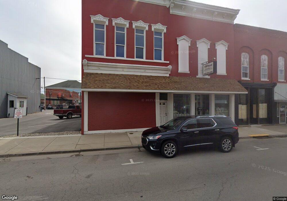
0 Twenty First St Columbus Grove, OH 45830
Olde Towne East NeighborhoodEstimated Value: $160,000 - $426,000
3
Beds
2
Baths
2,103
Sq Ft
$139/Sq Ft
Est. Value
About This Home
This home is located at 0 Twenty First St, Columbus Grove, OH 45830 and is currently estimated at $293,000, approximately $139 per square foot. 0 Twenty First St is a home with nearby schools including Ohio Avenue Elementary School, Champion Middle School, and East High School.
Ownership History
Date
Name
Owned For
Owner Type
Purchase Details
Closed on
May 10, 2024
Sold by
Schifer Doug
Bought by
Ce Investment Group Llc
Current Estimated Value
Purchase Details
Closed on
Apr 24, 2024
Sold by
Schifer Doug
Bought by
Ce Investment Group Llc
Purchase Details
Closed on
Apr 7, 2009
Sold by
Fannie Mae
Bought by
Schifer Doug
Purchase Details
Closed on
Jul 14, 2008
Sold by
House Thomas L and Wells Fargo Bank Na
Bought by
Federal National Mortgage Association
Create a Home Valuation Report for This Property
The Home Valuation Report is an in-depth analysis detailing your home's value as well as a comparison with similar homes in the area
Home Values in the Area
Average Home Value in this Area
Purchase History
| Date | Buyer | Sale Price | Title Company |
|---|---|---|---|
| Ce Investment Group Llc | $230,000 | Amerititle | |
| Ce Investment Group Llc | $230,000 | Amerititle | |
| Schifer Doug | $12,000 | Accutitle Agency Inc | |
| Federal National Mortgage Association | $60,000 | None Available |
Source: Public Records
Tax History Compared to Growth
Tax History
| Year | Tax Paid | Tax Assessment Tax Assessment Total Assessment is a certain percentage of the fair market value that is determined by local assessors to be the total taxable value of land and additions on the property. | Land | Improvement |
|---|---|---|---|---|
| 2024 | $230 | $5,010 | $5,010 | -- |
| 2023 | $227 | $5,005 | $5,005 | $0 |
| 2022 | $21 | $390 | $390 | $0 |
| 2021 | $21 | $390 | $390 | $0 |
| 2020 | $21 | $390 | $390 | $0 |
| 2019 | $20 | $320 | $320 | $0 |
| 2018 | $12 | $320 | $320 | $0 |
| 2017 | $20 | $320 | $320 | $0 |
| 2016 | $69 | $1,020 | $1,020 | $0 |
| 2015 | $33 | $1,020 | $1,020 | $0 |
| 2014 | $63 | $1,020 | $1,020 | $0 |
| 2013 | $33 | $1,085 | $1,085 | $0 |
Source: Public Records
Map
Nearby Homes
- 991 Bryden Rd Unit 993
- 263 S 20th St
- 977 Bryden Rd
- 308 Carpenter St
- 240-242 S 18th St
- 1033-1035 Franklin Ave
- 1041 Franklin Ave
- 1084 Bryden Rd Unit 9
- 1046 E Cherry St
- 233 S Ohio Ave Unit 11
- 972 Franklin Ave
- 322-324 S Ohio Ave
- 962 Franklin Ave
- 940 Mcallister Ave
- 187 S Ohio Ave
- 185 S Ohio Ave
- 1093 Franklin Ave
- 947 Mcallister Ave
- 285 S Champion Ave Unit 287
- 1117 Franklin Ave Unit 1119
- 263 S 21st St
- 264 S 20th St
- 258 S 20th St
- 256 S 20th St
- 274 S 21st St
- 254 S 20th St
- 245 S 21st St
- 992 E Rich St
- 986 E Rich St Unit 988
- 264 S 21st St
- 260 S 21st St
- 996 E Rich St
- 1000 E Rich St
- 1003 Bryden Rd
- 1009 Bryden Rd
- 978 E Rich St Unit 980
- 1001 Bryden Rd
- 987 Bryden Rd
- 985 Bryden Rd
- 1020-1022 E Rich St
