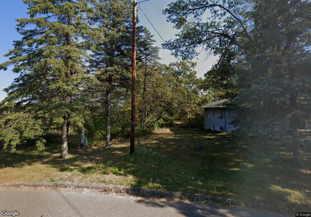
00 Unassigned Address Oak Grove, MN 55011
Estimated Value: $507,000 - $611,000
5
Beds
3
Baths
1,511
Sq Ft
$373/Sq Ft
Est. Value
About This Home
This home is located at 00 Unassigned Address, Oak Grove, MN 55011 and is currently estimated at $562,992, approximately $372 per square foot. 00 Unassigned Address is a home located in Anoka County with nearby schools including Cedar Creek Community School, St. Francis Middle School, and St. Francis High School.
Ownership History
Date
Name
Owned For
Owner Type
Purchase Details
Closed on
Apr 28, 2016
Sold by
Westman Christopher A and Westman Kimberly A
Bought by
Land Brent G and Land Sara G
Current Estimated Value
Home Financials for this Owner
Home Financials are based on the most recent Mortgage that was taken out on this home.
Original Mortgage
$277,400
Interest Rate
3.61%
Mortgage Type
New Conventional
Create a Home Valuation Report for This Property
The Home Valuation Report is an in-depth analysis detailing your home's value as well as a comparison with similar homes in the area
Home Values in the Area
Average Home Value in this Area
Purchase History
| Date | Buyer | Sale Price | Title Company |
|---|---|---|---|
| Land Brent G | $292,000 | Titlesmart Inc |
Source: Public Records
Mortgage History
| Date | Status | Borrower | Loan Amount |
|---|---|---|---|
| Previous Owner | Land Brent G | $277,400 |
Source: Public Records
Tax History Compared to Growth
Tax History
| Year | Tax Paid | Tax Assessment Tax Assessment Total Assessment is a certain percentage of the fair market value that is determined by local assessors to be the total taxable value of land and additions on the property. | Land | Improvement |
|---|---|---|---|---|
| 2025 | $3,944 | $517,300 | $126,300 | $391,000 |
| 2024 | $3,944 | $486,400 | $111,600 | $374,800 |
| 2023 | $3,685 | $487,000 | $108,400 | $378,600 |
| 2022 | $3,401 | $527,400 | $123,100 | $404,300 |
| 2021 | $3,167 | $422,100 | $90,800 | $331,300 |
| 2020 | $3,106 | $367,200 | $72,800 | $294,400 |
| 2019 | $3,171 | $350,900 | $68,100 | $282,800 |
| 2018 | $3,067 | $338,500 | $0 | $0 |
| 2017 | $1,481 | $316,500 | $0 | $0 |
| 2016 | $596 | $44,300 | $0 | $0 |
| 2015 | -- | $44,300 | $44,300 | $0 |
| 2014 | -- | $61,500 | $61,500 | $0 |
Source: Public Records
Map
Nearby Homes
- 871 206th Ave NW
- 20615 Redwood St NW
- 21346 Cottonwood St NW
- 21520 Evergreen St NW
- 21477 Cottonwood St NW
- 21349 Cottonwood St NW
- 20635 Tamarack St NW
- 20648 Tamarack St NW
- 973 200th Ave NW
- 991 200th Ave NW
- 674 208th Ln NE
- 22065 Cottonwood St NW
- 1 221st Ave NW
- 20942 Nightingale St NW
- 21263 Tippecanoe St NE
- 223xx Cedar Dr NW
- 21570 Nightingale St NW
- 1739 200th Ln NW
- 19342 Tamarack St NW
- 21923 Quincy St NE
- 657 210th Ave NW
- 7Xxx 210th Ave
- 7X3x 210th Ave NW
- 7xx 210th Ave NW
- 7xx 210th Ave NW
- XXXX 210th Ave NW
- 711 210th Ave NW
- 711 210th Ave NW
- 629 210th Ave NW
- 21028 Magnolia St NW
- 7X4x 210th Ave NW
- 21027 Magnolia St NW
- 21001 Olive St NW
- 21002 Magnolia St NW
- 21001 Magnolia St NW
- 21012 Olive St NW
- 20973 Olive St NW
- 20970 Olive St NW
- 20971 Magnolia St NW
- 21000 Cedar Dr NW