001 Willow Ridge Biddeford, ME 04005
Hills Beach NeighborhoodEstimated Value: $816,000 - $1,069,000
3
Beds
2
Baths
2,564
Sq Ft
$349/Sq Ft
Est. Value
About This Home
This home is located at 001 Willow Ridge, Biddeford, ME 04005 and is currently estimated at $894,814, approximately $348 per square foot. 001 Willow Ridge is a home located in York County with nearby schools including John F Kennedy Memorial School, Biddeford Primary School, and Biddeford Intermediate School.
Ownership History
Date
Name
Owned For
Owner Type
Purchase Details
Closed on
Jun 29, 2009
Sold by
Collard Christopher F
Bought by
Collard Lisa R
Current Estimated Value
Home Financials for this Owner
Home Financials are based on the most recent Mortgage that was taken out on this home.
Original Mortgage
$228,200
Outstanding Balance
$145,958
Interest Rate
4.92%
Mortgage Type
Purchase Money Mortgage
Estimated Equity
$748,856
Create a Home Valuation Report for This Property
The Home Valuation Report is an in-depth analysis detailing your home's value as well as a comparison with similar homes in the area
Home Values in the Area
Average Home Value in this Area
Purchase History
| Date | Buyer | Sale Price | Title Company |
|---|---|---|---|
| Collard Lisa R | -- | -- | |
| Collard Lisa R | -- | -- |
Source: Public Records
Mortgage History
| Date | Status | Borrower | Loan Amount |
|---|---|---|---|
| Open | Collard Lisa R | $228,200 | |
| Closed | Collard Lisa R | $228,200 |
Source: Public Records
Tax History Compared to Growth
Tax History
| Year | Tax Paid | Tax Assessment Tax Assessment Total Assessment is a certain percentage of the fair market value that is determined by local assessors to be the total taxable value of land and additions on the property. | Land | Improvement |
|---|---|---|---|---|
| 2024 | $7,889 | $554,800 | $182,500 | $372,300 |
| 2023 | $7,237 | $551,600 | $179,300 | $372,300 |
| 2022 | $7,183 | $437,700 | $104,300 | $333,400 |
| 2021 | $6,329 | $372,200 | $88,300 | $283,900 |
| 2020 | $6,835 | $340,900 | $80,200 | $260,700 |
| 2019 | $2,872 | $340,900 | $80,200 | $260,700 |
| 2018 | $2,740 | $340,900 | $80,200 | $260,700 |
| 2017 | $2,636 | $320,500 | $80,200 | $240,300 |
| 2016 | $2,529 | $320,500 | $80,200 | $240,300 |
| 2015 | $6,045 | $320,500 | $80,200 | $240,300 |
| 2014 | $5,896 | $320,500 | $80,200 | $240,300 |
| 2013 | -- | $340,500 | $89,200 | $251,300 |
Source: Public Records
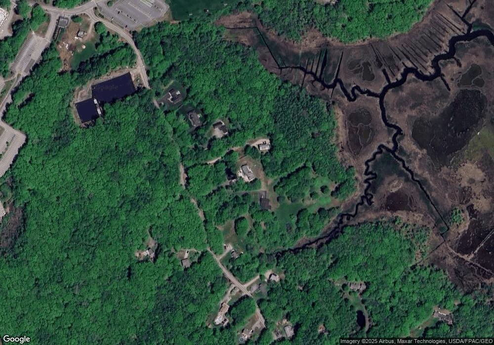
Map
Nearby Homes
- 26 Reserved Ln
- 66 Old Pool Rd
- 6 Days Landing
- 8 Days Landing
- 23 North Ave
- 9 Riverside Ave
- 12 Lower Beach Rd
- 10 Lower Beach Rd
- 10 Seaside Ave
- 27 Sunrise Ave
- 527 Pool St
- 700 Pool St
- part of 31 Sokokis Rd
- 29 Ferry Ln
- 3 Fortunes Rocks Rd
- 625,650 Pool St
- 6 Tide Water Dr
- Lot 1 Longboard Ln
- Lot 2 Longboard Ln
- Lot 3 Longboard Ln