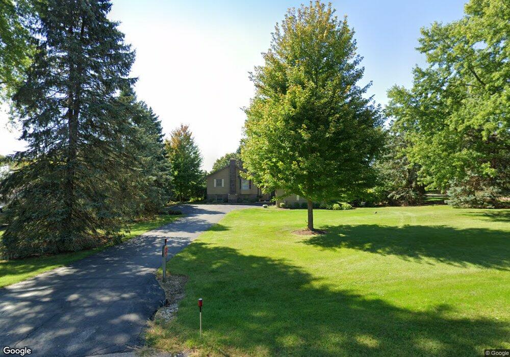
0S092 Surrey Dr Elburn, IL 60119
Estimated Value: $518,000 - $556,000
4
Beds
3
Baths
2,365
Sq Ft
$224/Sq Ft
Est. Value
About This Home
This home is located at 0S092 Surrey Dr, Elburn, IL 60119 and is currently estimated at $530,516, approximately $224 per square foot. 0S092 Surrey Dr is a home located in Kane County with nearby schools including Kaneland Blackberry Creek Elementary School, Harter Middle School, and Kaneland Senior High School.
Ownership History
Date
Name
Owned For
Owner Type
Purchase Details
Closed on
Sep 5, 2001
Sold by
Haase S Norman S and Haase Cynthia P
Bought by
Healy Kevin and Healy Tracy
Current Estimated Value
Home Financials for this Owner
Home Financials are based on the most recent Mortgage that was taken out on this home.
Original Mortgage
$150,000
Outstanding Balance
$58,662
Interest Rate
7.03%
Estimated Equity
$471,854
Create a Home Valuation Report for This Property
The Home Valuation Report is an in-depth analysis detailing your home's value as well as a comparison with similar homes in the area
Home Values in the Area
Average Home Value in this Area
Purchase History
| Date | Buyer | Sale Price | Title Company |
|---|---|---|---|
| Healy Kevin | $211,500 | Fox Title Company |
Source: Public Records
Mortgage History
| Date | Status | Borrower | Loan Amount |
|---|---|---|---|
| Open | Healy Kevin | $150,000 |
Source: Public Records
Tax History Compared to Growth
Tax History
| Year | Tax Paid | Tax Assessment Tax Assessment Total Assessment is a certain percentage of the fair market value that is determined by local assessors to be the total taxable value of land and additions on the property. | Land | Improvement |
|---|---|---|---|---|
| 2024 | $11,299 | $148,834 | $21,253 | $127,581 |
| 2023 | $10,907 | $134,326 | $19,181 | $115,145 |
| 2022 | $9,584 | $113,571 | $17,604 | $95,967 |
| 2021 | $9,278 | $108,701 | $16,849 | $91,852 |
| 2020 | $9,122 | $106,153 | $16,454 | $89,699 |
| 2019 | $9,141 | $104,594 | $16,212 | $88,382 |
| 2018 | $8,328 | $93,983 | $16,212 | $77,771 |
| 2017 | $8,339 | $92,915 | $16,028 | $76,887 |
| 2016 | $8,179 | $88,742 | $20,574 | $68,168 |
| 2015 | -- | $82,590 | $19,771 | $62,819 |
| 2014 | -- | $89,407 | $22,000 | $67,407 |
| 2013 | -- | $89,407 | $22,000 | $67,407 |
Source: Public Records
Map
Nearby Homes
- 0S072 Surrey Dr
- 0S110 Surrey Dr
- 0S103 Surrey Dr
- 0S044 Surrey Dr
- 0S124 Surrey Dr
- 0S039 Surrey Dr
- 43W869 Kenmar Dr Unit 1
- 0S030 Surrey Dr
- 0S140 Surrey Dr
- 0S129 Surrey Dr
- 43W835 Kenmar Dr Unit 1
- 0S156 Surrey Dr
- 0S145 Surrey Dr
- 4 Kenmar Dr
- 0S668 Derek Dr
- 0S810 Autumn Woods Ln
- 42 W Main Street Rd
- 43W Kenmar Dr
- 43W821 Kenmar Dr
- 43W785 Kenmar Dr