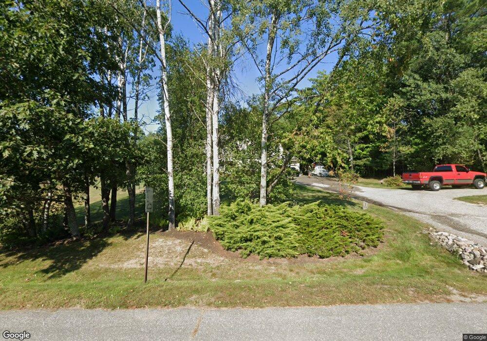
1 Boynton Brook Rd Saco, ME 04072
North Saco NeighborhoodEstimated Value: $705,000 - $802,000
3
Beds
3
Baths
2,278
Sq Ft
$332/Sq Ft
Est. Value
About This Home
This home is located at 1 Boynton Brook Rd, Saco, ME 04072 and is currently estimated at $755,409, approximately $331 per square foot. 1 Boynton Brook Rd is a home located in York County with nearby schools including C K Burns School and Saco Middle School.
Ownership History
Date
Name
Owned For
Owner Type
Purchase Details
Closed on
May 1, 2020
Sold by
Lundgren Gary W and Lundgren Paula
Bought by
Lundgren Lt
Current Estimated Value
Create a Home Valuation Report for This Property
The Home Valuation Report is an in-depth analysis detailing your home's value as well as a comparison with similar homes in the area
Home Values in the Area
Average Home Value in this Area
Purchase History
| Date | Buyer | Sale Price | Title Company |
|---|---|---|---|
| Lundgren Lt | -- | None Available | |
| Lundgren Lt | -- | None Available |
Source: Public Records
Tax History
| Year | Tax Paid | Tax Assessment Tax Assessment Total Assessment is a certain percentage of the fair market value that is determined by local assessors to be the total taxable value of land and additions on the property. | Land | Improvement |
|---|---|---|---|---|
| 2024 | $8,538 | $607,700 | $149,100 | $458,600 |
| 2023 | $8,347 | $565,900 | $149,100 | $416,800 |
| 2022 | $7,149 | $390,000 | $113,500 | $276,500 |
| 2021 | $6,806 | $360,500 | $102,200 | $258,300 |
| 2020 | $6,460 | $328,400 | $90,000 | $238,400 |
| 2019 | $6,364 | $328,400 | $90,000 | $238,400 |
| 2018 | $5,970 | $320,200 | $81,800 | $238,400 |
| 2017 | $6,134 | $316,500 | $74,800 | $241,700 |
| 2016 | $5,970 | $307,400 | $72,000 | $235,400 |
| 2015 | $5,814 | $302,500 | $70,100 | $232,400 |
| 2014 | $5,633 | $302,500 | $70,100 | $232,400 |
| 2013 | $5,620 | $302,500 | $70,100 | $232,400 |
Source: Public Records
Map
Nearby Homes
- 82 Watson Mill Rd
- Lot 1 & 2 Memory Ln
- 9 Jada Dr
- 70 Beech Plains Rd
- 0 Beech Plains Rd
- 158 Lord Rd
- 48 Tickle Way
- 281 Narragansett Trail
- 28 E Wind Dr
- 4 Blueberry Ave
- 4 Primrose Ln
- 430 Narragansett Trail
- 17 Johnson Farm Rd
- 9 Johnson Farm Rd
- 91 C Broadturn Rd
- 222 Main St
- 30 Joy Valley Rd
- 75 Ash Swamp Rd
- 14 David Dr
- 00 Deering Dr
- 21 Boynton Brook Rd
- 2 Boynton Brook Rd
- 145 Grant Rd
- 149 Grant Rd
- 141 Grant Rd
- 19 Boynton Brook Rd
- 3 Boynton Brook Rd
- 22 Boynton Brook Rd
- 153 Grant Rd
- 15 Boynton Brook Rd
- 157 Grant Rd
- 5 Boynton Brook Rd
- 4 Boynton Brook Rd
- 160 Grant Rd
- 11 Boynton Brook Rd
- 4 Frances Libby Way
- 24 Boynton Rd
- 15 Joanna Dr
- 2 Frances Libby Way
- 7 Boynton Brook Rd
