1 Branch Dr Cushing, ME 04563
Estimated Value: $289,000 - $395,000
3
Beds
2
Baths
1,352
Sq Ft
$239/Sq Ft
Est. Value
About This Home
This home is located at 1 Branch Dr, Cushing, ME 04563 and is currently estimated at $322,694, approximately $238 per square foot. 1 Branch Dr is a home located in Knox County with nearby schools including Cushing Community School and Oceanside High School East.
Ownership History
Date
Name
Owned For
Owner Type
Purchase Details
Closed on
May 16, 2018
Sold by
Dyer Kurt S
Bought by
Dyer Kurt S and Dyer Carol
Current Estimated Value
Home Financials for this Owner
Home Financials are based on the most recent Mortgage that was taken out on this home.
Original Mortgage
$176,867
Outstanding Balance
$144,709
Interest Rate
2.99%
Mortgage Type
Unknown
Estimated Equity
$177,985
Purchase Details
Closed on
Dec 23, 2014
Sold by
Royal Tammy L
Bought by
Dyer Kurt S
Home Financials for this Owner
Home Financials are based on the most recent Mortgage that was taken out on this home.
Original Mortgage
$160,000
Interest Rate
4.02%
Mortgage Type
Commercial
Purchase Details
Closed on
Jun 22, 2006
Sold by
Prior Dale C and Prior Dwayne S
Bought by
Royal Tammy
Create a Home Valuation Report for This Property
The Home Valuation Report is an in-depth analysis detailing your home's value as well as a comparison with similar homes in the area
Home Values in the Area
Average Home Value in this Area
Purchase History
| Date | Buyer | Sale Price | Title Company |
|---|---|---|---|
| Dyer Kurt S | -- | -- | |
| Dyer Kurt S | -- | -- | |
| Royal Tammy | -- | -- |
Source: Public Records
Mortgage History
| Date | Status | Borrower | Loan Amount |
|---|---|---|---|
| Open | Dyer Kurt S | $176,867 | |
| Closed | Dyer Kurt S | $160,000 |
Source: Public Records
Tax History
| Year | Tax Paid | Tax Assessment Tax Assessment Total Assessment is a certain percentage of the fair market value that is determined by local assessors to be the total taxable value of land and additions on the property. | Land | Improvement |
|---|---|---|---|---|
| 2024 | $2,364 | $219,950 | $22,790 | $197,160 |
| 2023 | $2,321 | $145,050 | $33,610 | $111,440 |
| 2022 | $2,248 | $145,050 | $33,610 | $111,440 |
| 2021 | $2,263 | $145,050 | $33,610 | $111,440 |
| 2020 | $2,507 | $145,050 | $33,610 | $111,440 |
| 2019 | $1,834 | $145,050 | $33,610 | $111,440 |
| 2018 | $1,987 | $145,050 | $33,610 | $111,440 |
| 2017 | $1,886 | $145,050 | $33,610 | $111,440 |
| 2016 | $1,886 | $145,050 | $33,610 | $111,440 |
| 2015 | $1,784 | $145,050 | $33,610 | $111,440 |
| 2014 | $1,639 | $145,050 | $33,610 | $111,440 |
Source: Public Records
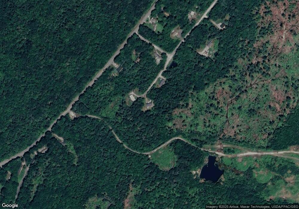
Map
Nearby Homes
- Map 7 Lot 8-1 Cushing Road Westside
- Map 7 Lot 8-1 Cushing Road Eastside
- 360 Cushing Rd
- 16 Swan Ln
- Map 6 Lot 3
- 000 Atlantic Highway Map 4 Lot 24
- 236 Cushing Rd
- 46 Killeran Ln
- 317 Cross Rd
- 76 Donahue Dr
- 33 Rockinghorse Ln
- 482 Main St
- 36 Sunrise Terrace
- M27, L 38 Hornbarn Hill Rd
- 8 Cushing Rd
- 1232 Oyster River Rd
- 580 Saint George Rd
- 56 Booker St
- 31 Booker St Unit 4
- 52 Ledge Rd
- Lot 1 Branch Dr
- Lot 5 Branch Dr
- 2 Branch Dr
- Lot 4 Branch Dr
- Lot 6 Branch Dr
- 9 Branch Dr
- Lot 9 Branch Dr
- 657 Cushing Rd
- 13 Chickadee Dr
- 667 Cushing Rd
- Lot 9 Chickadee Dr
- 37 Branch
- 25 Branch Dr
- 26 Branch Dr
- 0 Chickadee Dr Unit 1223310
- 675 Cushing Rd
- 36 Branch Dr
- 685 Cushing Rd
- 613 Cushing Rd
- 697 Cushing Rd
Your Personal Tour Guide
Ask me questions while you tour the home.