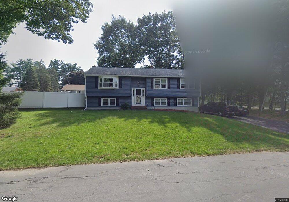
1 Brookfield Rd Methuen, MA 01844
The East End NeighborhoodEstimated Value: $597,000 - $729,000
3
Beds
3
Baths
2,079
Sq Ft
$324/Sq Ft
Est. Value
About This Home
This home is located at 1 Brookfield Rd, Methuen, MA 01844 and is currently estimated at $674,344, approximately $324 per square foot. 1 Brookfield Rd is a home located in Essex County with nearby schools including Timony Grammar School, Methuen High School, and Saint Monica School.
Ownership History
Date
Name
Owned For
Owner Type
Purchase Details
Closed on
Apr 16, 2020
Sold by
Nuzzi Frank J
Bought by
Frank J Nuzzi 2020 Ret and Nuzzi
Current Estimated Value
Purchase Details
Closed on
Sep 23, 1999
Sold by
Bagharian Gomidas and Baghsarian Joanna
Bought by
Nuzzi Frank J
Home Financials for this Owner
Home Financials are based on the most recent Mortgage that was taken out on this home.
Original Mortgage
$70,000
Interest Rate
8.1%
Mortgage Type
Purchase Money Mortgage
Purchase Details
Closed on
May 31, 1991
Sold by
Dinuccio Al J
Bought by
Baghsarian Jack
Home Financials for this Owner
Home Financials are based on the most recent Mortgage that was taken out on this home.
Original Mortgage
$123,500
Interest Rate
9.35%
Mortgage Type
Purchase Money Mortgage
Create a Home Valuation Report for This Property
The Home Valuation Report is an in-depth analysis detailing your home's value as well as a comparison with similar homes in the area
Home Values in the Area
Average Home Value in this Area
Purchase History
| Date | Buyer | Sale Price | Title Company |
|---|---|---|---|
| Frank J Nuzzi 2020 Ret | -- | None Available | |
| Frank J Nuzzi 2020 Ret | -- | None Available | |
| Nuzzi Frank J | $214,900 | -- | |
| Nuzzi Frank J | $214,900 | -- | |
| Baghsarian Jack | $161,900 | -- |
Source: Public Records
Mortgage History
| Date | Status | Borrower | Loan Amount |
|---|---|---|---|
| Previous Owner | Nuzzi Frank J | $70,000 | |
| Previous Owner | Baghsarian Jack | $123,500 |
Source: Public Records
Tax History
| Year | Tax Paid | Tax Assessment Tax Assessment Total Assessment is a certain percentage of the fair market value that is determined by local assessors to be the total taxable value of land and additions on the property. | Land | Improvement |
|---|---|---|---|---|
| 2025 | $6,063 | $573,100 | $232,900 | $340,200 |
| 2024 | $6,094 | $561,100 | $212,400 | $348,700 |
| 2022 | $5,544 | $424,800 | $157,400 | $267,400 |
| 2019 | $4,995 | $352,000 | $133,800 | $218,200 |
| 2016 | $4,447 | $300,300 | $125,900 | $174,400 |
Source: Public Records
Map
Nearby Homes
- 687 Jackson St
- 611 Prospect St
- 14 Buttonwood Dr
- Lot 108 Garden City Rd
- 593 Prospect St
- 64-66 Howe St
- 82 Oakside Ave
- 37 Albion St
- 25 Carol Ave
- 7 Brentwood Ave
- 9-11 Horne St
- 169 Berkeley St
- 3 Adams Ave
- 159-161 Howe St
- 29 Center St
- 2 Grove St
- 46 Pelham St
- 24 Railroad St
- 129-131 Lexington St
- 7-9 Carleton Ct
Your Personal Tour Guide
Ask me questions while you tour the home.