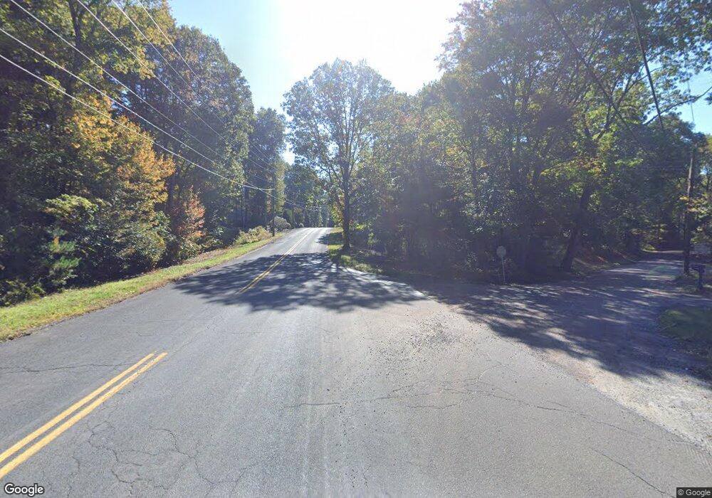
1 Buff Cap Rd Ellington, CT 06029
Crystal Lake NeighborhoodEstimated Value: $600,000 - $768,000
3
Beds
2
Baths
2,300
Sq Ft
$285/Sq Ft
Est. Value
About This Home
This home is located at 1 Buff Cap Rd, Ellington, CT 06029 and is currently estimated at $655,428, approximately $284 per square foot. 1 Buff Cap Rd is a home with nearby schools including Ellington High School.
Ownership History
Date
Name
Owned For
Owner Type
Purchase Details
Closed on
Jul 2, 2012
Sold by
Messier Dolores M and Messier Dolores M
Bought by
Messier Danielle T and Messier Michael R
Current Estimated Value
Home Financials for this Owner
Home Financials are based on the most recent Mortgage that was taken out on this home.
Original Mortgage
$245,000
Outstanding Balance
$169,998
Interest Rate
3.78%
Estimated Equity
$485,430
Create a Home Valuation Report for This Property
The Home Valuation Report is an in-depth analysis detailing your home's value as well as a comparison with similar homes in the area
Home Values in the Area
Average Home Value in this Area
Purchase History
| Date | Buyer | Sale Price | Title Company |
|---|---|---|---|
| Messier Danielle T | $358,000 | -- | |
| Messier Danielle T | $358,000 | -- |
Source: Public Records
Mortgage History
| Date | Status | Borrower | Loan Amount |
|---|---|---|---|
| Open | Messier Danielle T | $245,000 | |
| Closed | Messier Danielle T | $245,000 |
Source: Public Records
Tax History Compared to Growth
Tax History
| Year | Tax Paid | Tax Assessment Tax Assessment Total Assessment is a certain percentage of the fair market value that is determined by local assessors to be the total taxable value of land and additions on the property. | Land | Improvement |
|---|---|---|---|---|
| 2025 | $10,569 | $284,890 | $70,940 | $213,950 |
| 2024 | $10,256 | $284,890 | $70,940 | $213,950 |
| 2023 | $9,772 | $284,890 | $70,940 | $213,950 |
| 2022 | $9,259 | $284,890 | $70,940 | $213,950 |
| 2021 | $9,003 | $284,890 | $70,940 | $213,950 |
| 2020 | $9,554 | $293,080 | $75,370 | $217,710 |
| 2019 | $9,554 | $293,080 | $75,370 | $217,710 |
| 2016 | $8,939 | $293,080 | $75,370 | $217,710 |
| 2015 | $8,935 | $305,440 | $81,350 | $224,090 |
| 2014 | $8,784 | $306,080 | $81,990 | $224,090 |
Source: Public Records
Map
Nearby Homes
- 644 Buff Cap Rd
- 745 Old Stafford Rd
- 42 Ladd Rd
- 0 Tolland Turnpike
- 8 Neff Hill Rd
- 15 Usher Ridge
- 68 Usher Ridge
- 36 Usher Ridge
- 110 Neff Hill Rd
- 130 Neff Hill Rd
- 105 Neff Hill Rd
- 137 Neff Hill Rd
- 100 Neff Hill Rd
- 77 Neff Hill Rd
- 84 Neff Hill Rd
- 71 Neff Hill Rd
- 127 Sandy Beach Rd
- 100 Wildwood Rd
- 487 Buff Cap Rd
- 68 Cook Rd
- 3 Buff Cap Rd
- 688 Buff Cap Rd
- 7 Buff Cap Rd
- 682 Buff Cap Rd
- 847 Old Stafford Rd
- 0 Buff Cap Rd
- 683 Buff Cap Rd
- 807 Old Stafford Rd
- 11 Buff Cap Rd
- 678 Buff Cap Rd
- 839 Old Stafford Rd
- 867 Old Stafford Rd
- 861 Old Stafford Rd
- 670 Buff Cap Rd
- 12 Buff Cap Rd
- 838 Old Stafford Rd
- 846 Old Stafford Rd
- 14 Buff Cap Rd
- 662 Buff Cap Rd
- 819 Old Stafford Rd
