1 Carver Rd Brewster, MA 02631
Estimated Value: $2,050,000 - $3,546,000
4
Beds
3
Baths
1,894
Sq Ft
$1,451/Sq Ft
Est. Value
About This Home
This home is located at 1 Carver Rd, Brewster, MA 02631 and is currently estimated at $2,748,801, approximately $1,451 per square foot. 1 Carver Rd is a home located in Barnstable County with nearby schools including Stony Brook Elementary School, Eddy Elementary School, and Nauset Regional Middle School.
Ownership History
Date
Name
Owned For
Owner Type
Purchase Details
Closed on
Sep 1, 2020
Sold by
Charles D Baringer T D and Charles Baringer
Bought by
Newman James A and Newman Charlotte A
Current Estimated Value
Home Financials for this Owner
Home Financials are based on the most recent Mortgage that was taken out on this home.
Original Mortgage
$1,645,000
Outstanding Balance
$1,455,758
Interest Rate
2.75%
Mortgage Type
Purchase Money Mortgage
Estimated Equity
$1,293,043
Create a Home Valuation Report for This Property
The Home Valuation Report is an in-depth analysis detailing your home's value as well as a comparison with similar homes in the area
Home Values in the Area
Average Home Value in this Area
Purchase History
| Date | Buyer | Sale Price | Title Company |
|---|---|---|---|
| Newman James A | $2,350,000 | None Available | |
| Newman James A | $2,350,000 | None Available |
Source: Public Records
Mortgage History
| Date | Status | Borrower | Loan Amount |
|---|---|---|---|
| Open | Newman James A | $1,645,000 | |
| Closed | Newman James A | $1,645,000 |
Source: Public Records
Tax History Compared to Growth
Tax History
| Year | Tax Paid | Tax Assessment Tax Assessment Total Assessment is a certain percentage of the fair market value that is determined by local assessors to be the total taxable value of land and additions on the property. | Land | Improvement |
|---|---|---|---|---|
| 2025 | $21,779 | $3,165,600 | $2,546,000 | $619,600 |
| 2024 | $20,284 | $2,978,600 | $2,402,000 | $576,600 |
| 2023 | $17,763 | $2,541,200 | $2,144,100 | $397,100 |
| 2022 | $16,688 | $2,125,900 | $1,786,400 | $339,500 |
| 2021 | $15,871 | $1,849,800 | $1,553,500 | $296,300 |
| 2020 | $15,827 | $1,836,100 | $1,553,500 | $282,600 |
| 2019 | $13,097 | $1,526,400 | $1,245,200 | $281,200 |
| 2018 | $12,549 | $1,519,300 | $1,245,200 | $274,100 |
| 2017 | $12,599 | $1,501,700 | $1,245,200 | $256,500 |
| 2016 | $12,350 | $1,465,000 | $1,221,000 | $244,000 |
| 2015 | $11,855 | $1,435,200 | $1,196,800 | $238,400 |
Source: Public Records
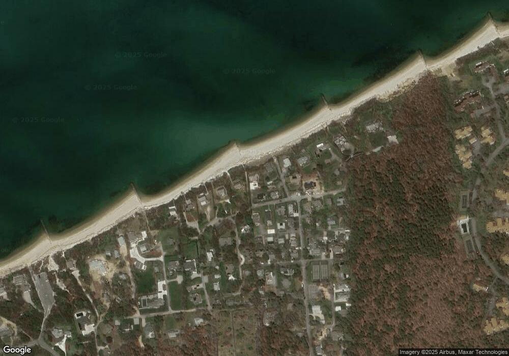
Map
Nearby Homes
- 35 Bradford Rd
- 11 Juniper Cir
- 18 Juniper Cir
- 232 Robbins Hill Rd
- 240 Robbins Hill Rd
- 1861 Main St
- 1580 Main St
- 20 Spring Ln
- 429 Paines Creek Rd
- 1424 Main St
- 53 Brier Ln
- 21 Sea Meadow Ln
- 41 Great Oak Rd
- 602 Tubman Rd
- 20 Skipjack Way
- 85 Yankee Dr
- 0 Ridgewood Dr
- 104 Sachemus Trail Unit 104
- 30 Fox Crossing Rd