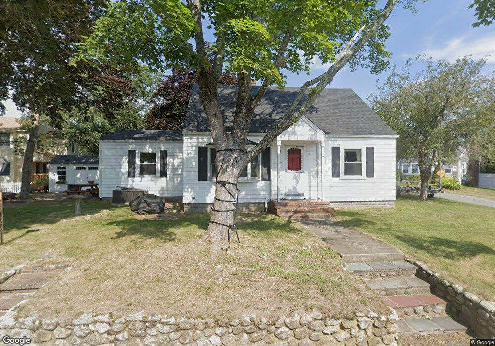
1 Circuit Ave Wareham, MA 02571
Wareham Center NeighborhoodEstimated Value: $442,544 - $580,000
3
Beds
1
Bath
1,425
Sq Ft
$353/Sq Ft
Est. Value
About This Home
This home is located at 1 Circuit Ave, Wareham, MA 02571 and is currently estimated at $503,636, approximately $353 per square foot. 1 Circuit Ave is a home located in Plymouth County.
Ownership History
Date
Name
Owned For
Owner Type
Purchase Details
Closed on
Jun 21, 2022
Sold by
Mestieri Edward J and Mestieri Rebecca A
Bought by
Mestieri Lindsay L and Hood Erik R
Current Estimated Value
Home Financials for this Owner
Home Financials are based on the most recent Mortgage that was taken out on this home.
Original Mortgage
$145,500
Outstanding Balance
$138,283
Interest Rate
5.3%
Mortgage Type
Purchase Money Mortgage
Estimated Equity
$365,353
Purchase Details
Closed on
May 29, 2008
Sold by
1 Circuit Avenue Rt and Mestieri
Bought by
Mestieri Edward J and Mestieri Rebecca A
Home Financials for this Owner
Home Financials are based on the most recent Mortgage that was taken out on this home.
Original Mortgage
$70,000
Interest Rate
5.91%
Mortgage Type
Purchase Money Mortgage
Create a Home Valuation Report for This Property
The Home Valuation Report is an in-depth analysis detailing your home's value as well as a comparison with similar homes in the area
Home Values in the Area
Average Home Value in this Area
Purchase History
| Date | Buyer | Sale Price | Title Company |
|---|---|---|---|
| Mestieri Lindsay L | $150,000 | None Available | |
| Mestieri Lindsay L | $150,000 | None Available | |
| Mestieri Edward J | -- | -- | |
| Mestieri Edward J | -- | -- |
Source: Public Records
Mortgage History
| Date | Status | Borrower | Loan Amount |
|---|---|---|---|
| Open | Mestieri Lindsay L | $145,500 | |
| Closed | Mestieri Lindsay L | $145,500 | |
| Previous Owner | Mestieri Edward J | $106,000 | |
| Previous Owner | Mestieri Edward J | $70,000 |
Source: Public Records
Tax History
| Year | Tax Paid | Tax Assessment Tax Assessment Total Assessment is a certain percentage of the fair market value that is determined by local assessors to be the total taxable value of land and additions on the property. | Land | Improvement |
|---|---|---|---|---|
| 2025 | $3,954 | $379,500 | $137,800 | $241,700 |
| 2024 | $4,006 | $356,700 | $107,300 | $249,400 |
| 2023 | $3,551 | $316,600 | $97,600 | $219,000 |
| 2022 | $3,551 | $269,400 | $97,600 | $171,800 |
| 2021 | $3,512 | $261,100 | $97,600 | $163,500 |
| 2020 | $3,353 | $252,900 | $97,600 | $155,300 |
| 2019 | $3,075 | $231,400 | $84,500 | $146,900 |
| 2018 | $2,858 | $209,700 | $84,500 | $125,200 |
| 2017 | $2,742 | $203,900 | $84,500 | $119,400 |
| 2016 | $2,606 | $192,600 | $81,300 | $111,300 |
| 2015 | $2,517 | $192,600 | $81,300 | $111,300 |
| 2014 | $2,456 | $191,100 | $77,300 | $113,800 |
Source: Public Records
Map
Nearby Homes
- 106 Circuit Ave
- 15 Broadmarsh Ave
- 6 Allen Ave
- 20 Grant St
- 43 Shore Ave
- 6 Pine St
- 4 Mather Dr
- 10 Oak St
- 6 Wildwood Ave
- 3 Cranberry Grove Way Unit C
- 21 Bayview St
- 3 Hazel St
- 10 Barnes St
- 10 Longmeadow Dr
- 6 Bourne Terrace
- 55 Minot Ave Unit 55
- 110 Mayflower Ridge Dr
- 437 Main St
- 233 Marion Rd
- 9 Woodville Way
Your Personal Tour Guide
Ask me questions while you tour the home.