1 Cobblestone Ln Andover, MA 01810
Far West Andover NeighborhoodEstimated Value: $1,273,888 - $1,870,000
3
Beds
3
Baths
4,082
Sq Ft
$366/Sq Ft
Est. Value
About This Home
This home is located at 1 Cobblestone Ln, Andover, MA 01810 and is currently estimated at $1,495,472, approximately $366 per square foot. 1 Cobblestone Ln is a home located in Essex County with nearby schools including High Plain Elementary School, Wood Hill Middle School, and Andover High School.
Ownership History
Date
Name
Owned For
Owner Type
Purchase Details
Closed on
Jan 17, 2024
Sold by
1 Cobblestone Lane Rt and Clementi
Bought by
Richard L Clementi Ret and Clementi
Current Estimated Value
Purchase Details
Closed on
May 16, 2019
Sold by
Clementi Rose E Est and Clementi
Bought by
Clementi Mary A and Clementi Richard L
Purchase Details
Closed on
Feb 29, 2000
Sold by
Pace Joseph R and Josephy Nancy C
Bought by
Clementi Mary A and Clementi Rose E
Create a Home Valuation Report for This Property
The Home Valuation Report is an in-depth analysis detailing your home's value as well as a comparison with similar homes in the area
Home Values in the Area
Average Home Value in this Area
Purchase History
| Date | Buyer | Sale Price | Title Company |
|---|---|---|---|
| Richard L Clementi Ret | -- | None Available | |
| Clementi Mary A | -- | -- | |
| Clementi Mary A | $590,000 | -- |
Source: Public Records
Mortgage History
| Date | Status | Borrower | Loan Amount |
|---|---|---|---|
| Previous Owner | Clementi Mary A | $337,000 | |
| Previous Owner | Clementi Mary A | $53,000 | |
| Previous Owner | Clementi Mary A | $154,000 |
Source: Public Records
Tax History Compared to Growth
Tax History
| Year | Tax Paid | Tax Assessment Tax Assessment Total Assessment is a certain percentage of the fair market value that is determined by local assessors to be the total taxable value of land and additions on the property. | Land | Improvement |
|---|---|---|---|---|
| 2024 | $16,032 | $1,244,700 | $538,500 | $706,200 |
| 2023 | $15,122 | $1,107,000 | $461,400 | $645,600 |
| 2022 | $14,493 | $992,700 | $416,600 | $576,100 |
| 2021 | $13,929 | $911,000 | $379,500 | $531,500 |
| 2020 | $13,541 | $902,100 | $379,500 | $522,600 |
| 2019 | $13,323 | $872,500 | $358,600 | $513,900 |
| 2018 | $12,865 | $822,600 | $348,600 | $474,000 |
| 2017 | $12,366 | $814,600 | $342,100 | $472,500 |
| 2016 | $12,369 | $834,600 | $359,500 | $475,100 |
| 2015 | $12,112 | $809,100 | $359,500 | $449,600 |
Source: Public Records
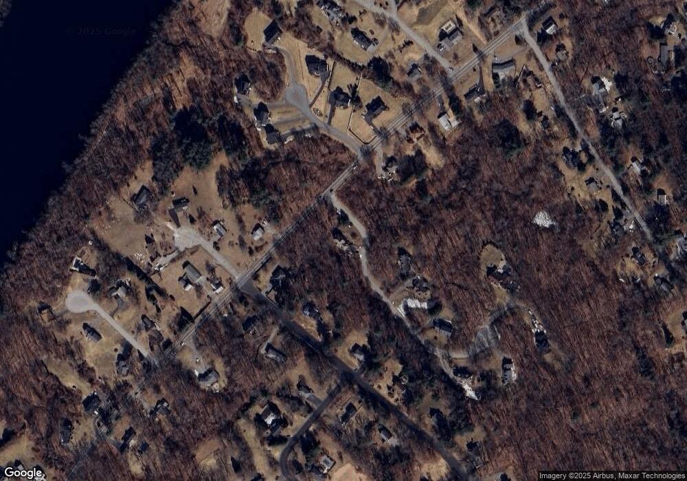
Map
Nearby Homes
- 322 River Rd
- 2 Nollet Dr
- 46 Hopkins Cir
- 42 Hopkins Cir
- 2 Francis Dr Unit 412
- 4 Francis Dr Unit 105
- 2 Francis Dr Unit 213
- 4 Francis Dr Unit 207
- 31 Varnum Ave
- 821 Merrimack Ave
- 12 Hayfield Rd
- 750 Brookside Dr Unit G
- 51 Bellevue Ave
- 14 Mount Pleasant Ave
- 514 Lowell St
- 78 Deering Dr
- 1563 Andover St Unit 18
- 995 North St
- 14 Tyler St
- 14 Youngfarm Rd