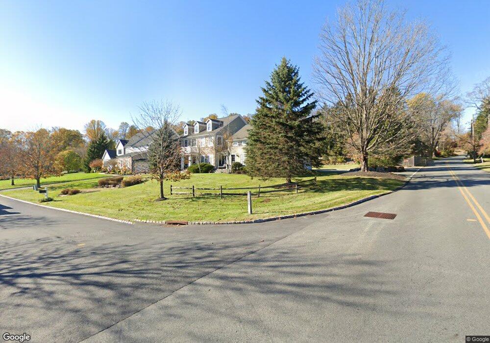
1 Coe Farm Rd Randolph, NJ 07869
Estimated Value: $1,316,000 - $1,462,000
--
Bed
--
Bath
4,260
Sq Ft
$326/Sq Ft
Est. Value
About This Home
This home is located at 1 Coe Farm Rd, Randolph, NJ 07869 and is currently estimated at $1,390,362, approximately $326 per square foot. 1 Coe Farm Rd is a home located in Morris County with nearby schools including Mendham Township Elementary School, Mendham Township Middle School, and West Morris Mendham High School.
Ownership History
Date
Name
Owned For
Owner Type
Purchase Details
Closed on
Dec 31, 2005
Sold by
Defendini George
Bought by
Alworth Frederick and Alworth Sharon
Current Estimated Value
Home Financials for this Owner
Home Financials are based on the most recent Mortgage that was taken out on this home.
Original Mortgage
$399,500
Outstanding Balance
$225,346
Interest Rate
6.33%
Mortgage Type
New Conventional
Estimated Equity
$1,165,016
Purchase Details
Closed on
Jul 20, 2000
Sold by
Old Brookside Estates Llc
Bought by
Defendini Edwin and Defendini George
Create a Home Valuation Report for This Property
The Home Valuation Report is an in-depth analysis detailing your home's value as well as a comparison with similar homes in the area
Home Values in the Area
Average Home Value in this Area
Purchase History
| Date | Buyer | Sale Price | Title Company |
|---|---|---|---|
| Alworth Frederick | $960,000 | -- | |
| Defendini Edwin | $769,550 | -- |
Source: Public Records
Mortgage History
| Date | Status | Borrower | Loan Amount |
|---|---|---|---|
| Open | Alworth Frederick | $399,500 |
Source: Public Records
Tax History Compared to Growth
Tax History
| Year | Tax Paid | Tax Assessment Tax Assessment Total Assessment is a certain percentage of the fair market value that is determined by local assessors to be the total taxable value of land and additions on the property. | Land | Improvement |
|---|---|---|---|---|
| 2025 | $21,077 | $1,111,100 | $364,200 | $746,900 |
| 2024 | $21,398 | $1,085,300 | $332,000 | $753,300 |
| 2023 | $21,398 | $1,024,300 | $286,600 | $737,700 |
| 2022 | $20,966 | $998,100 | $279,800 | $718,300 |
| 2021 | $20,966 | $947,400 | $336,000 | $611,400 |
| 2020 | $20,833 | $947,400 | $336,000 | $611,400 |
| 2019 | $20,445 | $947,400 | $336,000 | $611,400 |
| 2018 | $20,056 | $947,400 | $336,000 | $611,400 |
| 2017 | $19,592 | $947,400 | $336,000 | $611,400 |
| 2016 | $19,564 | $947,400 | $336,000 | $611,400 |
| 2015 | $19,204 | $947,400 | $336,000 | $611,400 |
| 2014 | $18,768 | $947,400 | $336,000 | $611,400 |
Source: Public Records
Map
Nearby Homes
- 56 Woodland Rd
- 60 Woodland Rd
- 67 Woodland Rd
- 90 Old Brookside Rd
- 56 Albert Ct
- 5 Albert Ct
- 90 Albert Ct Unit 604
- 90 Albert Ct
- 4 Ascot Ln
- 3 Woodmont Dr
- 4 Mahogany Way Unit 76
- 119 Woodmont Dr Unit 59
- 35 Woodmont Dr Unit 17
- 5 Queens Ct
- 2 A Abbington Way
- 12 Glenbrook Dr
- 5 Kensington Ct
- 36 Ridgewood Dr Unit 154
- 19 Ridgewood Dr
- 17 E Main St
- 3 Coe Farm Rd
- 5 Coe Farm Rd
- 5 Old Brookside Rd
- 1 Old Brookside Rd
- 6 Old Brookside Rd
- 7 Old Brookside Rd
- 2 Coe Farm Rd
- 7 Coe Farm Rd
- 4 Coe Farm Rd
- 54 Woodland Rd
- 6 Coe Farm Rd
- 9 Coe Farm Rd
- 58 Woodland Rd
- 8 Coe Farm Rd
- 57 Woodland Rd
- 9 Old Brookside Rd
- 9 Old Brookside Rd Unit 2
- 55 Woodland Rd
- 51 Woodland Rd
- 10 Old Brookside Rd