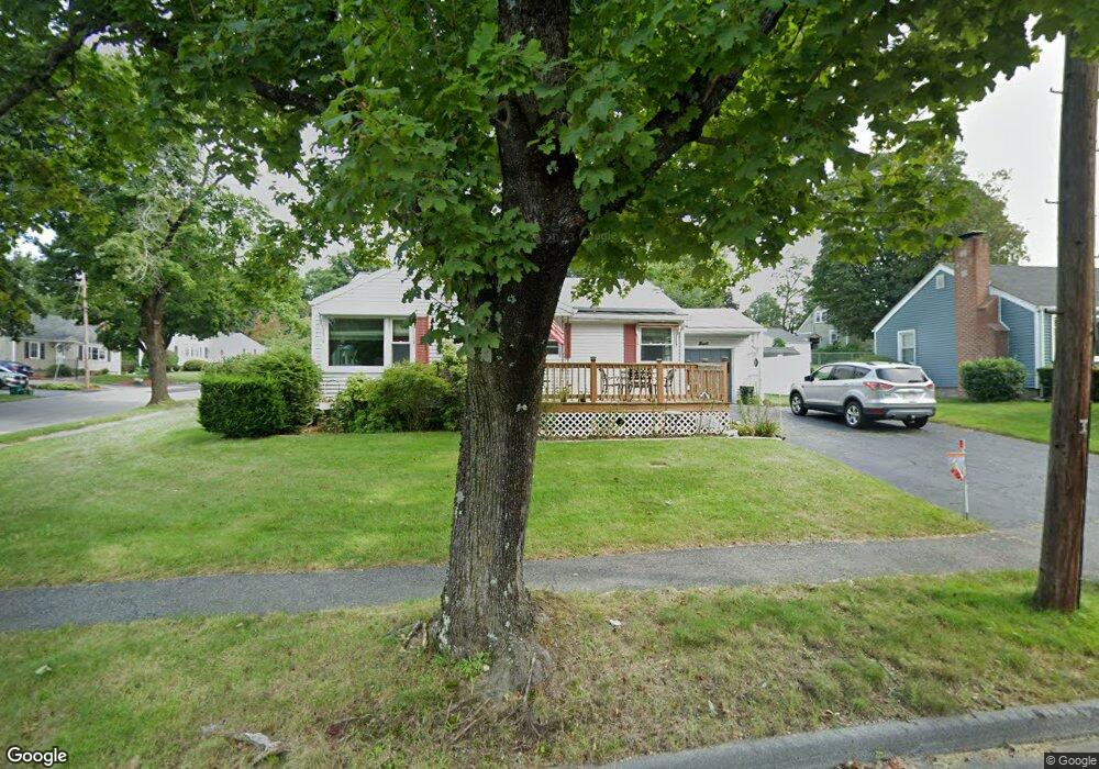
1 Cranston St Worcester, MA 01606
Indian Hill NeighborhoodEstimated Value: $373,495 - $408,000
2
Beds
1
Bath
961
Sq Ft
$409/Sq Ft
Est. Value
About This Home
This home is located at 1 Cranston St, Worcester, MA 01606 and is currently estimated at $392,874, approximately $408 per square foot. 1 Cranston St is a home located in Worcester County with nearby schools including Nelson Place Elementary School, Chandler Magnet, and Jacob Hiatt Magnet School.
Ownership History
Date
Name
Owned For
Owner Type
Purchase Details
Closed on
Aug 26, 2009
Sold by
Cranston Street Rt
Bought by
Albinson Bengt and Albinson Linda
Current Estimated Value
Home Financials for this Owner
Home Financials are based on the most recent Mortgage that was taken out on this home.
Original Mortgage
$55,000
Outstanding Balance
$35,933
Interest Rate
5.17%
Mortgage Type
Purchase Money Mortgage
Estimated Equity
$356,941
Create a Home Valuation Report for This Property
The Home Valuation Report is an in-depth analysis detailing your home's value as well as a comparison with similar homes in the area
Home Values in the Area
Average Home Value in this Area
Purchase History
| Date | Buyer | Sale Price | Title Company |
|---|---|---|---|
| Albinson Bengt | $175,000 | -- |
Source: Public Records
Mortgage History
| Date | Status | Borrower | Loan Amount |
|---|---|---|---|
| Open | Albinson Bengt | $55,000 |
Source: Public Records
Tax History
| Year | Tax Paid | Tax Assessment Tax Assessment Total Assessment is a certain percentage of the fair market value that is determined by local assessors to be the total taxable value of land and additions on the property. | Land | Improvement |
|---|---|---|---|---|
| 2025 | $4,118 | $312,200 | $117,900 | $194,300 |
| 2024 | $4,055 | $294,900 | $117,900 | $177,000 |
| 2023 | $3,899 | $271,900 | $102,500 | $169,400 |
| 2022 | $3,445 | $226,500 | $82,000 | $144,500 |
| 2021 | $3,424 | $210,300 | $65,600 | $144,700 |
| 2020 | $3,307 | $194,500 | $65,600 | $128,900 |
| 2019 | $3,114 | $173,000 | $59,000 | $114,000 |
| 2018 | $3,037 | $160,600 | $59,000 | $101,600 |
| 2017 | $3,060 | $159,200 | $59,000 | $100,200 |
| 2016 | $2,925 | $141,900 | $43,000 | $98,900 |
| 2015 | $2,848 | $141,900 | $43,000 | $98,900 |
| 2014 | $2,773 | $141,900 | $43,000 | $98,900 |
Source: Public Records
Map
Nearby Homes
- 5 Piehl Ave
- 42 N Worcester Ave
- 24 Watt Rd
- 23 Leslie Rd
- 270 Brattle St
- 37 Mohave Rd
- 101 Ararat St
- 36 Sunrise Ave
- 3 Torrey Ln
- 202 Torrey Lane Extension Unit 202
- 90 Bjorklund Ave
- 12 Newell Rd
- 158 Chester St
- 84 Chester St
- 82 Holden St
- 97 Parkton Ave
- 7 Wildwood Rd
- 53 Mount Ave
- 186 Doyle Rd
- 216 W Mountain St
Your Personal Tour Guide
Ask me questions while you tour the home.