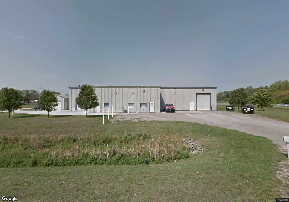
1 Digital Dr Unit b Evansdale, IA 50707
Estimated Value: $662,843
--
Bed
--
Bath
11,100
Sq Ft
$60/Sq Ft
Est. Value
About This Home
This home is located at 1 Digital Dr Unit b, Evansdale, IA 50707 and is currently estimated at $662,843, approximately $59 per square foot. 1 Digital Dr Unit b is a home located in Black Hawk County with nearby schools including Poyner Elementary School, Bunger Middle School, and East High School.
Ownership History
Date
Name
Owned For
Owner Type
Purchase Details
Closed on
Feb 14, 2024
Sold by
Harrison & Woody Llc
Bought by
Kinzler Equities Llc
Current Estimated Value
Purchase Details
Closed on
Aug 31, 2015
Sold by
Mcdaniel Gene V
Bought by
Harrison And Woody Llc
Purchase Details
Closed on
Jun 23, 2011
Sold by
Obrien Properties Of Waterloo Llv
Bought by
Kgm Investments Llc
Home Financials for this Owner
Home Financials are based on the most recent Mortgage that was taken out on this home.
Original Mortgage
$240,000
Interest Rate
4.56%
Mortgage Type
Purchase Money Mortgage
Purchase Details
Closed on
Jun 30, 2008
Sold by
Co Us Small Business Administration
Bought by
Bartholomew Thomas M and Bartholomew Roxanne O
Purchase Details
Closed on
May 29, 2008
Sold by
Bartholomew Thomas M and Bartholomew Roxanne O
Bought by
Co Obrien Properties Of Waterloo
Create a Home Valuation Report for This Property
The Home Valuation Report is an in-depth analysis detailing your home's value as well as a comparison with similar homes in the area
Home Values in the Area
Average Home Value in this Area
Purchase History
| Date | Buyer | Sale Price | Title Company |
|---|---|---|---|
| Kinzler Equities Llc | $645,000 | None Listed On Document | |
| Harrison And Woody Llc | $455,000 | None Available | |
| Kgm Investments Llc | $360,000 | Black Hawk County Abstract & | |
| Bartholomew Thomas M | -- | None Available | |
| Co Obrien Properties Of Waterloo | $360,000 | Title Services |
Source: Public Records
Mortgage History
| Date | Status | Borrower | Loan Amount |
|---|---|---|---|
| Previous Owner | Kgm Investments Llc | $240,000 |
Source: Public Records
Tax History Compared to Growth
Tax History
| Year | Tax Paid | Tax Assessment Tax Assessment Total Assessment is a certain percentage of the fair market value that is determined by local assessors to be the total taxable value of land and additions on the property. | Land | Improvement |
|---|---|---|---|---|
| 2024 | $8,426 | $364,270 | $70,000 | $294,270 |
| 2023 | $7,774 | $364,270 | $70,000 | $294,270 |
| 2022 | $7,190 | $362,750 | $60,000 | $302,750 |
| 2021 | $7,298 | $362,750 | $60,000 | $302,750 |
| 2020 | $7,482 | $362,750 | $60,000 | $302,750 |
| 2019 | $7,482 | $362,750 | $60,000 | $302,750 |
| 2018 | $9,626 | $362,750 | $60,000 | $302,750 |
| 2017 | $9,496 | $348,050 | $60,000 | $288,050 |
| 2016 | $9,584 | $348,050 | $60,000 | $288,050 |
| 2015 | $9,584 | $348,050 | $60,000 | $288,050 |
| 2014 | $9,620 | $348,050 | $60,000 | $288,050 |
Source: Public Records
Map
Nearby Homes
- 1 Digital Dr
- 101 Technology Dr
- 305 N Evans Rd
- 3655 Lafayette Rd
- 420 N Evans Rd
- 112 S Evans Rd
- 3573 Lafayette Rd
- 3701 Lafayette Rd
- 130 Brown St
- 3541 Lafayette Rd
- 3594 Lafayette Rd
- 3521 Lafayette Rd
- 3640 Lafayette Rd
- 3566 Lafayette Rd Unit B
- 3714 Lafayette Rd
- 3714 Lafayette Rd
- 3714 + 3728 Lafayette Rd
- 3763 Lafayette Rd
- 3560 Lafayette Rd
- 143 Morehouse St