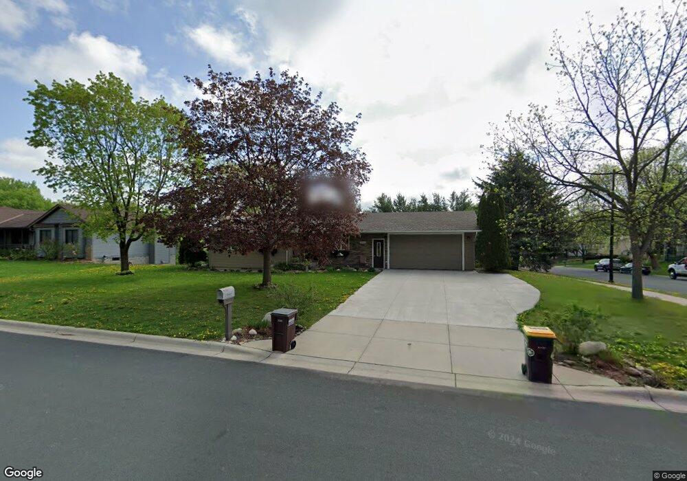
1 E Kraft Rd Saint Paul, MN 55118
Estimated Value: $386,611 - $426,000
3
Beds
2
Baths
2,184
Sq Ft
$187/Sq Ft
Est. Value
About This Home
This home is located at 1 E Kraft Rd, Saint Paul, MN 55118 and is currently estimated at $409,153, approximately $187 per square foot. 1 E Kraft Rd is a home located in Dakota County with nearby schools including Garlough Environmental Magnet, Heritage E-STEM Magnet School, and Two Rivers High School.
Ownership History
Date
Name
Owned For
Owner Type
Purchase Details
Closed on
Jun 28, 2018
Sold by
Gerdes Delbert W
Bought by
The Delbert W Gerdes Trust
Current Estimated Value
Purchase Details
Closed on
Jul 31, 2015
Sold by
Kojack Jason and Kojack Steven
Bought by
Gerdes Delbert W
Purchase Details
Closed on
Dec 27, 2010
Sold by
Khoury John J and Khoury Madelaine
Bought by
Kojack Jason A and Kojack Steven A
Purchase Details
Closed on
Oct 14, 2003
Sold by
Furu Richard V
Bought by
Khoury John J
Purchase Details
Closed on
Jan 28, 1999
Sold by
Meath Kevin and Meath Cathy J
Bought by
Furu Richard
Create a Home Valuation Report for This Property
The Home Valuation Report is an in-depth analysis detailing your home's value as well as a comparison with similar homes in the area
Home Values in the Area
Average Home Value in this Area
Purchase History
| Date | Buyer | Sale Price | Title Company |
|---|---|---|---|
| The Delbert W Gerdes Trust | -- | None Available | |
| Gerdes Delbert W | $216,000 | Land Title Inc | |
| Kojack Jason A | $230,000 | Old Republic Title | |
| Khoury John J | $230,000 | -- | |
| Furu Richard | $155,000 | -- |
Source: Public Records
Tax History Compared to Growth
Tax History
| Year | Tax Paid | Tax Assessment Tax Assessment Total Assessment is a certain percentage of the fair market value that is determined by local assessors to be the total taxable value of land and additions on the property. | Land | Improvement |
|---|---|---|---|---|
| 2024 | $4,598 | $356,500 | $94,900 | $261,600 |
| 2023 | $4,598 | $371,000 | $100,600 | $270,400 |
| 2022 | $4,166 | $360,500 | $100,200 | $260,300 |
| 2021 | $4,038 | $315,600 | $87,100 | $228,500 |
| 2020 | $3,700 | $303,500 | $83,000 | $220,500 |
| 2019 | $3,402 | $280,400 | $79,000 | $201,400 |
| 2018 | $3,416 | $248,900 | $73,900 | $175,000 |
| 2017 | $3,168 | $259,100 | $70,400 | $188,700 |
| 2016 | $3,003 | $233,300 | $64,000 | $169,300 |
| 2015 | $2,986 | $205,612 | $57,863 | $147,749 |
| 2014 | -- | $197,982 | $53,395 | $144,587 |
| 2013 | -- | $179,452 | $48,474 | $130,978 |
Source: Public Records
Map
Nearby Homes
- 8XX Humboldt Ave
- 25 W Kraft Rd
- 1694 Humboldt Ave
- 1701 Livingston Ave Unit B
- 180 Wentworth Ave W Unit E
- 48 Thompson Ave W Unit 40
- 170 Wentworth Ave W Unit F
- 1620 Charlton St Unit 109
- 1450 Bidwell St Unit 110
- 2012 Pine Ridge Dr
- 1466 Charlton St
- 100 Imperial Dr W Unit 204
- Capri Plan at Thompson Square East
- Barcelona Plan at Thompson Square East
- Athens Plan at Thompson Square East
- Athens II Plan at Thompson Square East
- Bayfield Plan at Thompson Square East
- Hayward Plan at Thompson Square East
- 1531 Traverse Ln
- 362 Trenton Ln
- 1712 Humboldt Ave
- 1736 Humboldt Ave
- 1704 Humboldt Ave
- 11 W Kraft Rd
- 1705 Livingston Ave Unit F
- 1705 Livingston Ave Unit E
- 1705 Livingston Ave Unit D
- 1705 Livingston Ave Unit C
- 1705 Livingston Ave Unit A
- 1705 Livingston Ave
- 10 W Kraft Rd
- 1746 Humboldt Ave
- 1715 Livingston Ave Unit E
- 1715 Livingston Ave Unit D
- 1715 Livingston Ave Unit C
- 1715 Livingston Ave Unit B
- 1715 Livingston Ave
- 30 E Kraft Rd
- 38 E Kraft Rd
- 1747 Humboldt Ave