1 Flaghole Rd Concord, NH 03301
East Concord NeighborhoodEstimated Value: $631,330 - $704,000
2
Beds
2
Baths
2,217
Sq Ft
$300/Sq Ft
Est. Value
About This Home
This home is located at 1 Flaghole Rd, Concord, NH 03301 and is currently estimated at $665,583, approximately $300 per square foot. 1 Flaghole Rd is a home with nearby schools including Broken Ground School, Rundlett Middle School, and Concord High School.
Ownership History
Date
Name
Owned For
Owner Type
Purchase Details
Closed on
Jun 29, 2018
Sold by
Morrison Deane and Morrison Deanna
Bought by
Morrison Deane H
Current Estimated Value
Home Financials for this Owner
Home Financials are based on the most recent Mortgage that was taken out on this home.
Original Mortgage
$246,000
Outstanding Balance
$144,402
Interest Rate
3.5%
Mortgage Type
Adjustable Rate Mortgage/ARM
Estimated Equity
$521,181
Purchase Details
Closed on
Dec 1, 1997
Sold by
Tatkovsky James G and Tatkovsky Louise M
Bought by
Morrison Deane H and Morrison Deanna S
Home Financials for this Owner
Home Financials are based on the most recent Mortgage that was taken out on this home.
Original Mortgage
$176,000
Interest Rate
7.26%
Mortgage Type
Purchase Money Mortgage
Create a Home Valuation Report for This Property
The Home Valuation Report is an in-depth analysis detailing your home's value as well as a comparison with similar homes in the area
Home Values in the Area
Average Home Value in this Area
Purchase History
| Date | Buyer | Sale Price | Title Company |
|---|---|---|---|
| Morrison Deane H | -- | -- | |
| Morrison Deane H | -- | -- | |
| Morrison Deane H | $220,000 | -- |
Source: Public Records
Mortgage History
| Date | Status | Borrower | Loan Amount |
|---|---|---|---|
| Open | Morrison Deane H | $246,000 | |
| Previous Owner | Morrison Deane H | $176,000 |
Source: Public Records
Tax History Compared to Growth
Tax History
| Year | Tax Paid | Tax Assessment Tax Assessment Total Assessment is a certain percentage of the fair market value that is determined by local assessors to be the total taxable value of land and additions on the property. | Land | Improvement |
|---|---|---|---|---|
| 2024 | $10,209 | $368,700 | $109,100 | $259,600 |
| 2023 | $9,918 | $369,250 | $109,650 | $259,600 |
| 2022 | $9,588 | $370,350 | $110,750 | $259,600 |
| 2021 | $9,224 | $367,200 | $111,100 | $256,100 |
| 2020 | $9,335 | $348,850 | $91,850 | $257,000 |
| 2019 | $8,763 | $315,450 | $83,150 | $232,300 |
| 2018 | $8,270 | $293,350 | $69,650 | $223,700 |
| 2017 | $8,226 | $291,300 | $73,100 | $218,200 |
| 2016 | $7,954 | $287,450 | $79,150 | $208,300 |
| 2015 | $7,897 | $284,600 | $82,700 | $201,900 |
| 2014 | $7,630 | $284,600 | $82,700 | $201,900 |
| 2013 | -- | $285,850 | $82,750 | $203,100 |
| 2012 | -- | $278,700 | $86,700 | $192,000 |
Source: Public Records
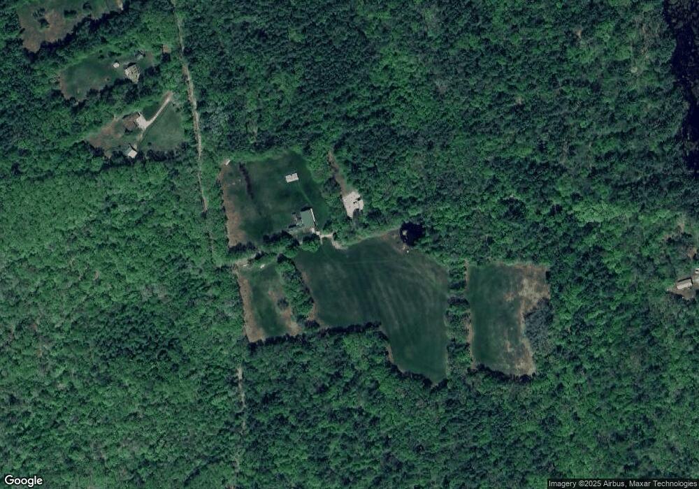
Map
Nearby Homes
- 22 Shelburne Ln
- 22 Shelburne Ln
- 203 Old Shaker Rd
- 557 Mountain Rd
- 540 Mountain Rd
- 137 Snow Pond Rd
- 15 Hothole Pond Rd
- 427 Shaker Rd
- 309 Southwest Rd
- 370 Shaker Rd
- 26 Welch Rd
- 287 Clough Pond Rd
- 456 Mountain Rd
- 000 Baptist Rd Unit 1
- 6 Old Boyce Rd
- 7006 Lake St
- 3 Pierce Ln
- 57 Center Rd
- 143 Shaker Rd
- 22 Abberton Rd
- 123 Tallant Rd
- 269 Morrill Rd
- 267 Morrill Rd
- 261 Morrill Rd
- 247 Morrill Rd
- 253 Morrill Rd
- 253 Morrill Rd Unit Map 253, Lot 3
- 43 Flag Hole Rd
- 0 Tallant Rd
- 245 Morrill Rd
- 41 Tallant Rd
- 32 Tallant Rd
- 26 Tallant Rd
- 233 Morrill Rd
- 475 Flagg Rd
- 228 Morrill Rd
- 20 Tallant Rd
- 29 Tallant Rd
- 225 Morrill Rd
- 219 Morrill Rd