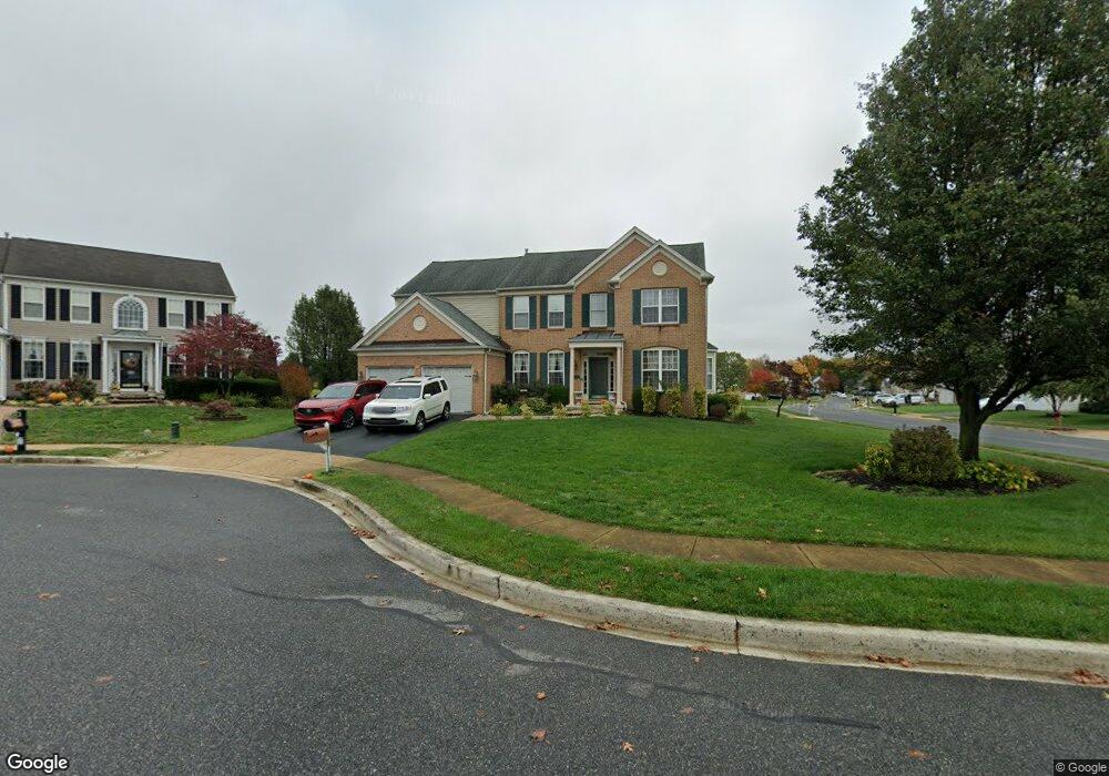
1 Floyd Cir Middletown, DE 19709
Estimated Value: $580,000 - $670,000
4
Beds
4
Baths
3,800
Sq Ft
$165/Sq Ft
Est. Value
About This Home
This home is located at 1 Floyd Cir, Middletown, DE 19709 and is currently estimated at $626,214, approximately $164 per square foot. 1 Floyd Cir is a home located in New Castle County with nearby schools including Silver Lake Elementary School, Louis L. Redding Middle School, and Middletown High School.
Ownership History
Date
Name
Owned For
Owner Type
Purchase Details
Closed on
Nov 23, 2009
Sold by
Mccloskey Shawn and Mccloskey Lauren K
Bought by
Wallang Mua Ekei and Mua Jude
Current Estimated Value
Home Financials for this Owner
Home Financials are based on the most recent Mortgage that was taken out on this home.
Original Mortgage
$373,117
Outstanding Balance
$242,632
Interest Rate
4.92%
Mortgage Type
FHA
Estimated Equity
$383,582
Purchase Details
Closed on
Aug 23, 2001
Sold by
Pulte Home Corp
Bought by
Mccloskey Shawn and Mccloskey Lauren K
Home Financials for this Owner
Home Financials are based on the most recent Mortgage that was taken out on this home.
Original Mortgage
$221,606
Interest Rate
6.99%
Purchase Details
Closed on
May 4, 2001
Sold by
Frog Hollow Llc
Bought by
Pulte Home Corp
Create a Home Valuation Report for This Property
The Home Valuation Report is an in-depth analysis detailing your home's value as well as a comparison with similar homes in the area
Home Values in the Area
Average Home Value in this Area
Purchase History
| Date | Buyer | Sale Price | Title Company |
|---|---|---|---|
| Wallang Mua Ekei | $380,000 | None Available | |
| Mccloskey Shawn | $277,008 | Commonwealth Land Title | |
| Pulte Home Corp | $140,000 | -- |
Source: Public Records
Mortgage History
| Date | Status | Borrower | Loan Amount |
|---|---|---|---|
| Open | Wallang Mua Ekei | $373,117 | |
| Previous Owner | Mccloskey Shawn | $221,606 |
Source: Public Records
Tax History Compared to Growth
Tax History
| Year | Tax Paid | Tax Assessment Tax Assessment Total Assessment is a certain percentage of the fair market value that is determined by local assessors to be the total taxable value of land and additions on the property. | Land | Improvement |
|---|---|---|---|---|
| 2024 | $3,971 | $107,800 | $11,800 | $96,000 |
| 2023 | $323 | $107,800 | $11,800 | $96,000 |
| 2022 | $3,315 | $107,800 | $11,800 | $96,000 |
| 2021 | $3,242 | $107,800 | $11,800 | $96,000 |
| 2020 | $3,204 | $107,800 | $11,800 | $96,000 |
| 2019 | $3,292 | $107,800 | $11,800 | $96,000 |
| 2018 | $2,841 | $107,800 | $11,800 | $96,000 |
| 2017 | $2,735 | $107,800 | $11,800 | $96,000 |
| 2016 | $2,457 | $107,800 | $11,800 | $96,000 |
| 2015 | $2,700 | $107,800 | $11,800 | $96,000 |
| 2014 | $2,694 | $107,800 | $11,800 | $96,000 |
Source: Public Records
Map
Nearby Homes
- 65 W Sarazen Dr
- 620 Village Dr Unit A620
- 434 Spring Hollow Dr
- 12 Demaret Ct
- 506 New St
- 300 Hostetter Blvd
- 601 Village Dr
- 336 Hostetter Blvd
- 830 Sweet Birch Dr
- 732 Cleaver Farm Rd
- 335 Marldale Dr
- 120 Betsy Rawls Dr
- 448 Spring Hollow Dr
- 6 Kimberly Dr
- 253 Wickerberry Dr
- 851 Sweet Birch Dr
- 309 New St
- 923 Holly Ct Unit A923
- 20 Palmer Dr
- 47 Franklin Dr