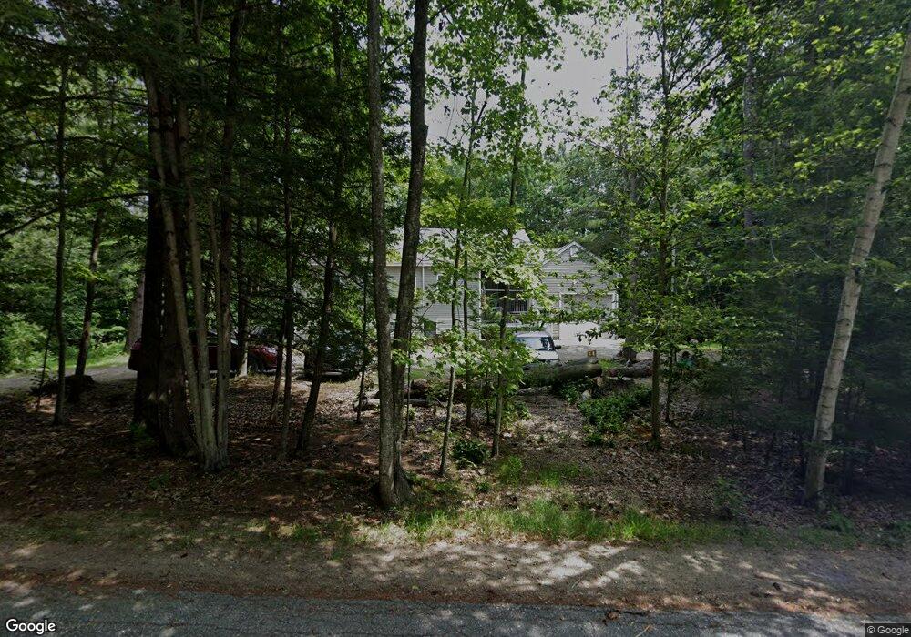
1 Frances St Sandown, NH 03873
Estimated Value: $489,000 - $548,000
2
Beds
3
Baths
1,548
Sq Ft
$341/Sq Ft
Est. Value
About This Home
This home is located at 1 Frances St, Sandown, NH 03873 and is currently estimated at $527,520, approximately $340 per square foot. 1 Frances St is a home located in Rockingham County with nearby schools including Sandown North Elementary School, Timberlane Regional Middle School, and Timberlane Regional High School.
Ownership History
Date
Name
Owned For
Owner Type
Purchase Details
Closed on
Oct 30, 2019
Sold by
Beaudette Cheryl L
Bought by
Beaudette Cheryl L and Gilman Alyson N
Current Estimated Value
Home Financials for this Owner
Home Financials are based on the most recent Mortgage that was taken out on this home.
Original Mortgage
$189,000
Outstanding Balance
$166,437
Interest Rate
3.65%
Mortgage Type
New Conventional
Estimated Equity
$361,083
Create a Home Valuation Report for This Property
The Home Valuation Report is an in-depth analysis detailing your home's value as well as a comparison with similar homes in the area
Home Values in the Area
Average Home Value in this Area
Purchase History
| Date | Buyer | Sale Price | Title Company |
|---|---|---|---|
| Beaudette Cheryl L | -- | -- |
Source: Public Records
Mortgage History
| Date | Status | Borrower | Loan Amount |
|---|---|---|---|
| Open | Beaudette Cheryl L | $189,000 |
Source: Public Records
Tax History
| Year | Tax Paid | Tax Assessment Tax Assessment Total Assessment is a certain percentage of the fair market value that is determined by local assessors to be the total taxable value of land and additions on the property. | Land | Improvement |
|---|---|---|---|---|
| 2024 | $8,229 | $464,400 | $136,000 | $328,400 |
| 2023 | $9,706 | $464,400 | $136,000 | $328,400 |
| 2022 | $8,880 | $313,000 | $90,700 | $222,300 |
| 2021 | $8,900 | $307,100 | $90,700 | $216,400 |
| 2020 | $7,804 | $307,100 | $90,700 | $216,400 |
| 2019 | $7,672 | $283,200 | $90,700 | $192,500 |
| 2018 | $7,308 | $273,500 | $90,700 | $182,800 |
| 2017 | $6,516 | $211,700 | $72,500 | $139,200 |
| 2016 | $6,173 | $211,700 | $72,500 | $139,200 |
| 2015 | $5,640 | $211,700 | $72,500 | $139,200 |
| 2014 | $5,841 | $211,700 | $72,500 | $139,200 |
| 2013 | $5,733 | $211,700 | $72,500 | $139,200 |
Source: Public Records
Map
Nearby Homes
- 1 Stagecoach Dr
- 14 Country Acres Rd
- 71 Deerwood Hollow
- 74 Royal Range Rd
- 54 Fremont Rd Unit A and Unit B
- 11 Robin Way Unit 2
- 12 Robin Way Unit 5
- Lot 7 Robin Way Unit 7
- 335 Raymond Rd
- 30 Sawmill Ridge
- 23 Timber Trail
- 24 Stacey Ln
- 37 Colby Farm Rd
- 35 Colby Farm Rd
- 86 Raymond Rd
- 00 Dump Rd Unit 20
- 173 Jenkins Farm Rd
- 67 Lantern Dr
- 83 Lantern Dr
- 72 Lantern Dr
- 30 Brian St
- 28 Allen St
- 26 Allen St
- 34 Brian St
- 6 Frances St
- 26 Brian St
- 22 Allen St
- 33 Allen St
- 25 Allen St
- 22 Brian St
- 3 Heide St
- 21 Allen St
- 38 Allen St Unit 4D
- 38 Allen St Unit 4C
- 38 Allen St Unit 4B
- 38 Allen St Unit 4A
- 38 Allen St Unit 3D
- 38 Allen St Unit 3C
- 38 Allen St Unit 3B
- 38 Allen St Unit 3A
Your Personal Tour Guide
Ask me questions while you tour the home.