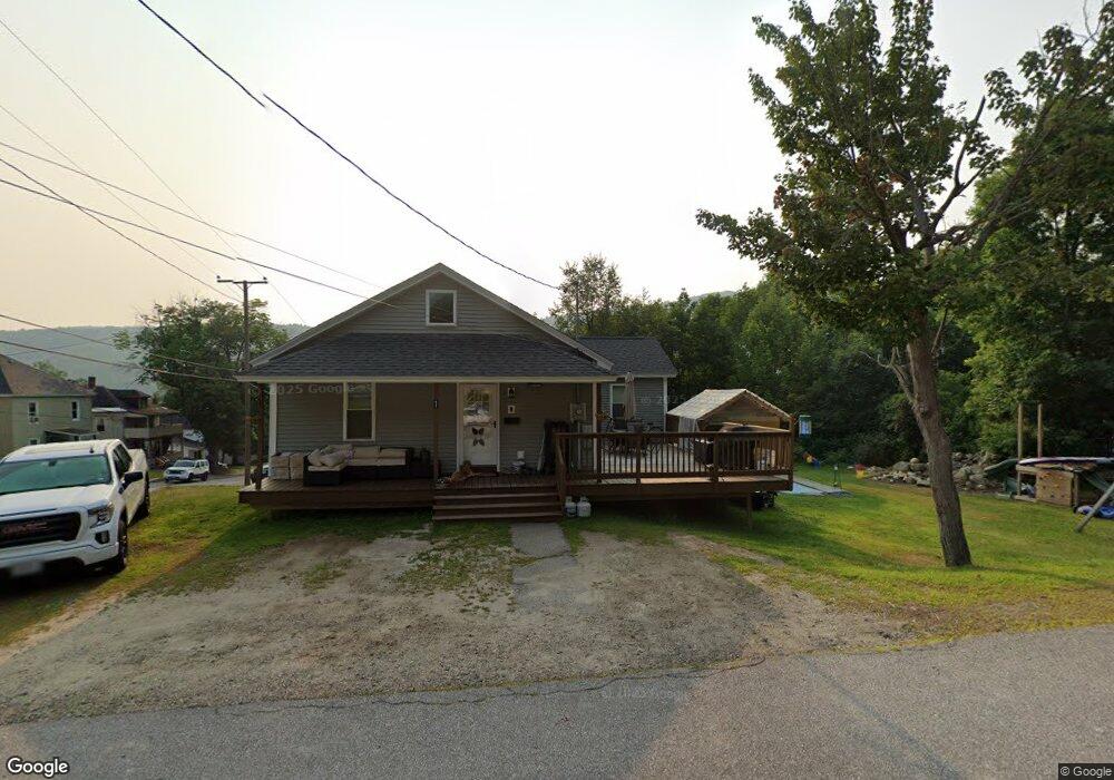
1 Gordon Ave Gorham, NH 03581
Estimated Value: $236,000 - $278,000
4
Beds
1
Bath
1,264
Sq Ft
$206/Sq Ft
Est. Value
About This Home
This home is located at 1 Gordon Ave, Gorham, NH 03581 and is currently estimated at $260,139, approximately $205 per square foot. 1 Gordon Ave is a home located in Coos County with nearby schools including Edward Fenn Elementary School, Gorham Middle School, and Gorham High School.
Ownership History
Date
Name
Owned For
Owner Type
Purchase Details
Closed on
Oct 26, 2012
Sold by
Pelkey Kelly
Bought by
Pelkey David
Current Estimated Value
Home Financials for this Owner
Home Financials are based on the most recent Mortgage that was taken out on this home.
Original Mortgage
$74,000
Outstanding Balance
$50,261
Interest Rate
3.56%
Mortgage Type
New Conventional
Estimated Equity
$209,878
Purchase Details
Closed on
Jul 8, 2004
Sold by
King Paul
Bought by
Pelkey David and Pelkey Kelly L
Home Financials for this Owner
Home Financials are based on the most recent Mortgage that was taken out on this home.
Original Mortgage
$77,503
Interest Rate
6.32%
Mortgage Type
Purchase Money Mortgage
Purchase Details
Closed on
Dec 19, 1997
Sold by
Small Est Florence
Bought by
King Paul
Home Financials for this Owner
Home Financials are based on the most recent Mortgage that was taken out on this home.
Original Mortgage
$45,590
Interest Rate
7.14%
Mortgage Type
Purchase Money Mortgage
Create a Home Valuation Report for This Property
The Home Valuation Report is an in-depth analysis detailing your home's value as well as a comparison with similar homes in the area
Home Values in the Area
Average Home Value in this Area
Purchase History
| Date | Buyer | Sale Price | Title Company |
|---|---|---|---|
| Pelkey David | -- | -- | |
| Pelkey David | $79,900 | -- | |
| King Paul | $47,000 | -- |
Source: Public Records
Mortgage History
| Date | Status | Borrower | Loan Amount |
|---|---|---|---|
| Open | Pelkey David | $74,000 | |
| Previous Owner | King Paul | $79,500 | |
| Previous Owner | King Paul | $77,503 | |
| Previous Owner | King Paul | $45,590 |
Source: Public Records
Tax History
| Year | Tax Paid | Tax Assessment Tax Assessment Total Assessment is a certain percentage of the fair market value that is determined by local assessors to be the total taxable value of land and additions on the property. | Land | Improvement |
|---|---|---|---|---|
| 2024 | $4,688 | $165,700 | $22,500 | $143,200 |
| 2023 | $4,068 | $165,700 | $22,500 | $143,200 |
| 2022 | $4,018 | $165,700 | $22,500 | $143,200 |
| 2021 | $3,126 | $87,800 | $13,100 | $74,700 |
| 2020 | $2,796 | $87,800 | $13,100 | $74,700 |
| 2019 | $2,965 | $87,800 | $13,100 | $74,700 |
| 2018 | $3,206 | $87,800 | $13,100 | $74,700 |
| 2017 | $2,981 | $87,800 | $13,100 | $74,700 |
| 2014 | $2,694 | $87,800 | $14,200 | $73,600 |
| 2010 | $2,994 | $125,000 | $19,900 | $105,100 |
Source: Public Records
Map
Nearby Homes
- 17 2nd St
- 99 Wentworth Ave
- 46 Cascade Flats
- 518 Western Ave
- 166 Glen Ave
- 433 2nd Ave
- 437 2nd Ave
- 761 Western Ave
- 25 Laurel St
- 340 Burgess St
- 96 Clark St
- Lot 2 Hillsboro St
- 135 Mount Forist St
- 372 Burgess St
- 376 Burgess St
- 0 Hillsboro St Unit 5036784
- 0 Hillsboro St Unit 5046211
- 431 Goebel St
- 421 Champlain St
- 617 4th Ave
Your Personal Tour Guide
Ask me questions while you tour the home.