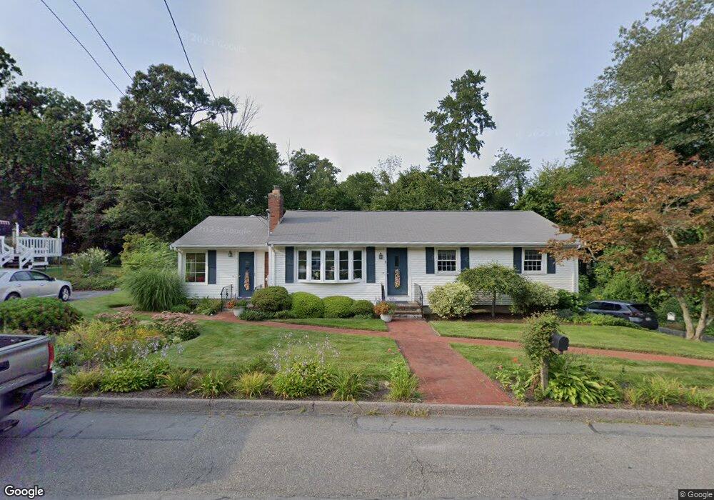
1 Ivy Ln Milford, MA 01757
Estimated Value: $680,000 - $729,000
4
Beds
3
Baths
3,086
Sq Ft
$226/Sq Ft
Est. Value
About This Home
This home is located at 1 Ivy Ln, Milford, MA 01757 and is currently estimated at $697,381, approximately $225 per square foot. 1 Ivy Ln is a home located in Worcester County with nearby schools including Milford High School.
Ownership History
Date
Name
Owned For
Owner Type
Purchase Details
Closed on
Jul 24, 2015
Sold by
Grace M Lavallee Rt and Lavallee Paul A
Bought by
Tessicini John B and Tessicini Alice E
Current Estimated Value
Purchase Details
Closed on
May 24, 2001
Sold by
Northern Estates Inc
Bought by
Pryor Scott G and Pryor Tracey L
Home Financials for this Owner
Home Financials are based on the most recent Mortgage that was taken out on this home.
Original Mortgage
$145,000
Interest Rate
7.05%
Mortgage Type
Purchase Money Mortgage
Create a Home Valuation Report for This Property
The Home Valuation Report is an in-depth analysis detailing your home's value as well as a comparison with similar homes in the area
Home Values in the Area
Average Home Value in this Area
Purchase History
| Date | Buyer | Sale Price | Title Company |
|---|---|---|---|
| Tessicini John B | -- | -- | |
| Pryor Scott G | $233,500 | -- |
Source: Public Records
Mortgage History
| Date | Status | Borrower | Loan Amount |
|---|---|---|---|
| Previous Owner | Pryor Scott G | $144,000 | |
| Previous Owner | Pryor Scott G | $150,000 | |
| Previous Owner | Pryor Scott G | $50,000 | |
| Previous Owner | Pryor Scott G | $145,000 |
Source: Public Records
Tax History Compared to Growth
Tax History
| Year | Tax Paid | Tax Assessment Tax Assessment Total Assessment is a certain percentage of the fair market value that is determined by local assessors to be the total taxable value of land and additions on the property. | Land | Improvement |
|---|---|---|---|---|
| 2025 | $7,570 | $591,400 | $185,700 | $405,700 |
| 2024 | $7,364 | $554,100 | $178,300 | $375,800 |
| 2023 | $7,095 | $491,000 | $154,200 | $336,800 |
| 2022 | $6,799 | $441,800 | $141,200 | $300,600 |
| 2021 | $6,151 | $384,900 | $141,200 | $243,700 |
| 2020 | $5,738 | $359,500 | $141,200 | $218,300 |
| 2019 | $5,543 | $335,100 | $141,200 | $193,900 |
| 2018 | $5,278 | $318,700 | $137,400 | $181,300 |
| 2017 | $5,045 | $300,500 | $137,400 | $163,100 |
| 2016 | $5,102 | $297,000 | $140,300 | $156,700 |
| 2015 | $5,112 | $291,300 | $132,700 | $158,600 |
Source: Public Records
Map
Nearby Homes
- 4 Kennedy Ln Unit 49
- 21 Shadowbrook Ln Unit 13
- 10 Shadowbrook Ln Unit 24
- 4 Shadowbrook Ln Unit 31
- 8 Shadowbrook Ln Unit 39
- 18 Shadowbrook Ln Unit 40
- 19 Shadowbrook Ln Unit 13
- 11 Shadowbrook Ln Unit 9
- 9 Shadowbrook Ln Unit 27
- 3 Shadowbrook Ln Unit 3
- 5 Shadowbrook Ln Unit 32
- 13 Hemlock Ln
- 9 Robin Rd
- 1 Tyler St
- 44 Silver Hill Rd
- 104 Purchase St
- 54 Village Cir Unit 54
- 8 Colonial Rd
- 56 Village Cir
- 250 Congress St