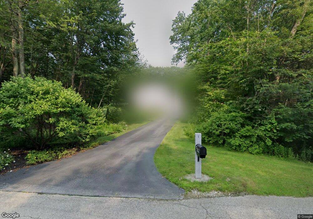
1 Jaime Ln Hooksett, NH 03106
Hooksett AreaEstimated Value: $771,071 - $839,000
About This Home
This home is located at 1 Jaime Ln, Hooksett, NH 03106 and is currently estimated at $809,018, approximately $314 per square foot. 1 Jaime Ln is a home located in Merrimack County with nearby schools including Fred C. Underhill School, Hooksett Memorial School, and David R. Cawley Middle School.
Ownership History
We collect this data history from publicly available records. To have your information removed, we recommend requesting removal directly through your county’s website.
Purchase Details
Home Values in the Area
Average Home Value in this Area
Purchase History
We collect this data history from publicly available records. To have your information removed, we recommend requesting removal directly through your county’s website.
| Date | Buyer | Sale Price | Title Company |
|---|---|---|---|
| $137,000 | -- |
Tax History
We collect this data history from publicly available records. To have your information removed, we recommend requesting removal directly through your county’s website.
| Year | Tax Paid | Tax Assessment Tax Assessment Total Assessment is a certain percentage of the fair market value that is determined by local assessors to be the total taxable value of land and additions on the property. | Land | Improvement |
|---|---|---|---|---|
| 2025 | $11,956 | $695,500 | $161,200 | $534,300 |
| 2024 | $11,796 | $695,500 | $161,200 | $534,300 |
| 2023 | $11,114 | $695,500 | $161,200 | $534,300 |
| 2022 | $9,418 | $391,600 | $109,100 | $282,500 |
| 2021 | $8,701 | $391,600 | $109,100 | $282,500 |
| 2020 | $8,815 | $391,600 | $109,100 | $282,500 |
| 2019 | $8,439 | $391,600 | $109,100 | $282,500 |
| 2018 | $8,662 | $391,600 | $109,100 | $282,500 |
| 2017 | $8,201 | $306,700 | $93,400 | $213,300 |
| 2016 | $8,094 | $306,700 | $93,400 | $213,300 |
| 2015 | $7,582 | $306,700 | $93,400 | $213,300 |
| 2014 | $7,615 | $306,700 | $93,400 | $213,300 |
| 2013 | $7,201 | $306,700 | $93,400 | $213,300 |
Map
- 71 Auburn Rd
- 39 Lantern Ln
- 9 Misty Ln
- 757 Hooksett Rd
- 110 Laurel Rd Unit 31
- 192 Londonderry Turnpike
- 60 Farmer Rd
- 55 Autumn Run
- 17 Laurel Rd
- 18 Sunrise Cir
- 5 Alderwood Ct
- 267 Londonderry Turnpike
- 9 Whitehall Terrace
- 3 Summerfare St
- 1 Forest Hills Rd
- 199 Whitehall Rd
- 197-199 Whitehall Rd
- 2 Arthur Ave
- 5 Johns Dr
- 124 Mammoth Rd Unit 21
Ask me questions while you tour the home.