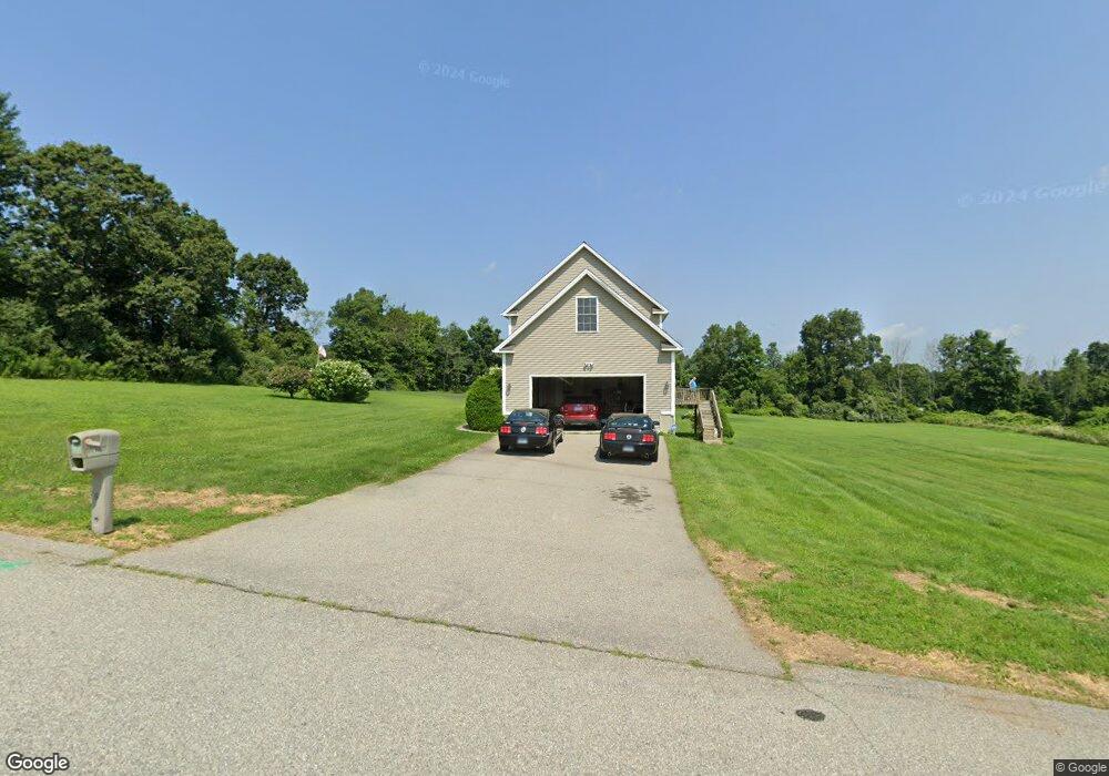
1 Legacy Dr Moosup, CT 06354
Estimated Value: $447,774 - $534,000
3
Beds
3
Baths
2,016
Sq Ft
$244/Sq Ft
Est. Value
About This Home
This home is located at 1 Legacy Dr, Moosup, CT 06354 and is currently estimated at $491,194, approximately $243 per square foot. 1 Legacy Dr is a home with nearby schools including Sterling Community School.
Ownership History
Date
Name
Owned For
Owner Type
Purchase Details
Closed on
Sep 12, 2006
Sold by
Lawton Steven M
Bought by
Lupo Michael and Lupo Jacqueline
Current Estimated Value
Home Financials for this Owner
Home Financials are based on the most recent Mortgage that was taken out on this home.
Original Mortgage
$303,900
Outstanding Balance
$183,694
Interest Rate
6.79%
Mortgage Type
Adjustable Rate Mortgage/ARM
Estimated Equity
$307,500
Create a Home Valuation Report for This Property
The Home Valuation Report is an in-depth analysis detailing your home's value as well as a comparison with similar homes in the area
Home Values in the Area
Average Home Value in this Area
Purchase History
| Date | Buyer | Sale Price | Title Company |
|---|---|---|---|
| Lupo Michael | $379,900 | -- | |
| Lupo Michael | $379,900 | -- |
Source: Public Records
Mortgage History
| Date | Status | Borrower | Loan Amount |
|---|---|---|---|
| Open | Lupo Michael | $303,900 | |
| Closed | Lupo Michael | $303,900 |
Source: Public Records
Tax History
| Year | Tax Paid | Tax Assessment Tax Assessment Total Assessment is a certain percentage of the fair market value that is determined by local assessors to be the total taxable value of land and additions on the property. | Land | Improvement |
|---|---|---|---|---|
| 2025 | $5,731 | $260,500 | $41,100 | $219,400 |
| 2024 | $6,161 | $260,500 | $41,100 | $219,400 |
| 2023 | $5,788 | $260,500 | $41,100 | $219,400 |
| 2022 | $5,229 | $163,720 | $19,240 | $144,480 |
| 2021 | $5,229 | $163,720 | $19,240 | $144,480 |
| 2020 | $5,229 | $163,720 | $19,240 | $144,480 |
| 2019 | $5,229 | $163,720 | $19,240 | $144,480 |
| 2018 | $5,206 | $163,720 | $19,240 | $144,480 |
| 2017 | $5,233 | $164,560 | $25,540 | $139,020 |
| 2016 | $5,200 | $164,560 | $25,540 | $139,020 |
| 2015 | $5,200 | $164,560 | $25,540 | $139,020 |
| 2014 | $5,184 | $164,560 | $25,540 | $139,020 |
Source: Public Records
Map
Nearby Homes
- 131 Church St
- 22 Grove St
- 143 Goshen Rd
- 1 Johns Cir
- 4 Johns Cir Unit Lot 31
- 2 Johns Cir Unit Lot 30
- 8 John's Cir Unit Lot 33
- 1 John's Cir Unit Lot 37
- 29 Union St
- 6 Grace Ln
- 23 High St
- 12 Mechanic St
- 58 Milner Ave
- 25 Snake Meadow Rd
- 296 Newport Rd
- 81 Deerfield Dr
- 71 Deerfield Dr
- 100 Squaw Rock Rd
- 13 Henry Dr
- 36 Plainfield Pike
- 456 Sterling Hill Rd
- 2 Legacy Dr
- 3 Legacy Dr
- 448 Sterling Hill Rd
- 6 Legacy Dr
- 5 Legacy Dr
- 482 Sterling Hill Rd
- 4 Legacy Dr
- 440 Sterling Hill Rd
- 485 Sterling Hill Rd
- 487 Sterling Hill Rd
- 480 Sterling Hill Rd
- 456 Sterling Hill Rd
- 430 Sterling Hill Rd
- 436 Sterling Hill Rd
- 419 Sterling Hill Rd
- #6-1 Sterling Hill Rd
- 410 Sterling Hill Rd
- 505 Sterling Hill Rd
- 425 Sterling Hill Rd
Your Personal Tour Guide
Ask me questions while you tour the home.