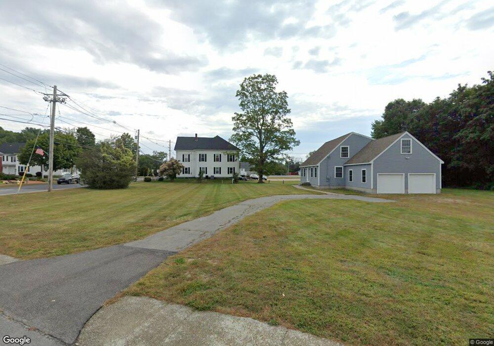
1 Marsh Rd Pelham, NH 03076
Estimated Value: $536,000 - $704,000
3
Beds
3
Baths
1,140
Sq Ft
$513/Sq Ft
Est. Value
About This Home
This home is located at 1 Marsh Rd, Pelham, NH 03076 and is currently estimated at $584,659, approximately $512 per square foot. 1 Marsh Rd is a home with nearby schools including Pelham Elementary School, Pelham Memorial School, and Pelham High School.
Ownership History
Date
Name
Owned For
Owner Type
Purchase Details
Closed on
Apr 21, 2017
Sold by
T M
Bought by
Hom J W Petersen Built
Current Estimated Value
Purchase Details
Closed on
Aug 14, 2012
Sold by
Iron Gate Assets Llc
Bought by
Ent Bank&T Co
Purchase Details
Closed on
May 27, 2011
Sold by
T M
Bought by
Iron Gate Assets Llc
Purchase Details
Closed on
Jul 31, 2007
Sold by
M
Bought by
Tennessee Gas Pipeline
Purchase Details
Closed on
Mar 31, 1997
Sold by
Empire Homes Inc
Bought by
Carpentino Francis M and Carpentino Ginette M
Home Financials for this Owner
Home Financials are based on the most recent Mortgage that was taken out on this home.
Original Mortgage
$115,900
Interest Rate
7.59%
Mortgage Type
Commercial
Create a Home Valuation Report for This Property
The Home Valuation Report is an in-depth analysis detailing your home's value as well as a comparison with similar homes in the area
Home Values in the Area
Average Home Value in this Area
Purchase History
| Date | Buyer | Sale Price | Title Company |
|---|---|---|---|
| Hom J W Petersen Built | $250,000 | -- | |
| Ent Bank&T Co | $1,280,000 | -- | |
| Iron Gate Assets Llc | $165,000 | -- | |
| Carpentino Francis M | $144,900 | -- | |
| Tennessee Gas Pipeline | $625,000 | -- |
Source: Public Records
Mortgage History
| Date | Status | Borrower | Loan Amount |
|---|---|---|---|
| Previous Owner | Carpentino Francis M | $115,900 |
Source: Public Records
Tax History
| Year | Tax Paid | Tax Assessment Tax Assessment Total Assessment is a certain percentage of the fair market value that is determined by local assessors to be the total taxable value of land and additions on the property. | Land | Improvement |
|---|---|---|---|---|
| 2024 | $7,052 | $384,500 | $142,800 | $241,700 |
| 2023 | $6,994 | $384,500 | $142,800 | $241,700 |
| 2022 | $6,698 | $384,500 | $142,800 | $241,700 |
| 2021 | $6,137 | $384,500 | $142,800 | $241,700 |
| 2020 | $6,448 | $319,200 | $114,500 | $204,700 |
| 2019 | $6,192 | $319,200 | $114,500 | $204,700 |
Source: Public Records
Map
Nearby Homes
- 4 Haystack Cir
- 6 Hemlock Dr
- 94 Tanager Cir Unit 94
- 10 Oakland Ridge Rd Unit 11
- 45 Currier Rd
- 6 David Dr
- 5 Lori Ln
- 4 Wilshire Ln Unit 4
- 4 Wilshire Ln
- 6 Wilshire Ln Unit 6
- Lot 4 Canterbury Rd Unit 4
- 2 S Shore Dr
- 7 Little Island Park
- 11 Wellesley Dr
- 3 Harmony Ln
- 10 Patricia St
- 9 Cornstalk Ln
- 12 Shelly Dr
- 7 Venus Way Unit 22
- 28 Bridal Path Rd
- Lot 4 Carmel Rd
- 26 Leonard Dr
- 7 Main St Unit 1
- 7 Main St Unit C
- 7 Main St
- 7 Main St Unit 2
- 6 Woodbury Ave
- 6 Blacksmith Ln
- 8 Woodbury Ave
- Lt 2-82-16 Rolling Ridge Ln
- Lot 20 Garland Woods
- Lot 28 Garland Woods
- Lot 8 Garland Woods
- Lot 45 Garland Woods
- Lot 8 Hawk Ridge Rd
- Lot 51 Garland Woods
- Lot 48 Garland Woods
- Lot 50 Garland Woods
- Lot 6 Garland Woods
- lots 1-8 Hawks Ridge Rd
Your Personal Tour Guide
Ask me questions while you tour the home.