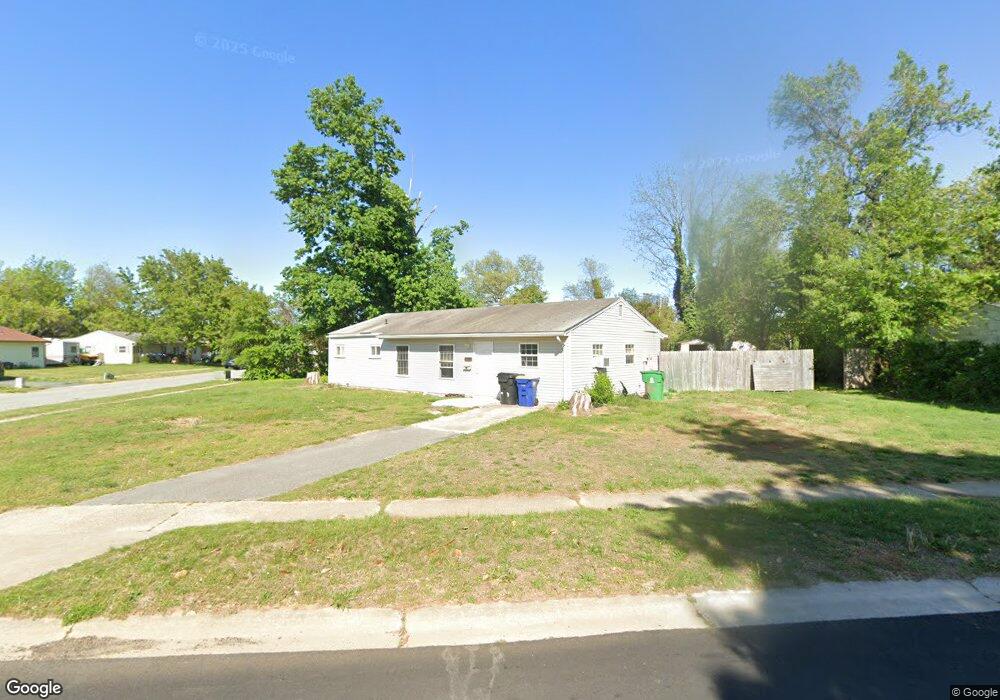
1 Mcdaniel Dr Dover, DE 19901
Kent Acres NeighborhoodEstimated Value: $181,000 - $225,591
3
Beds
1
Bath
1,200
Sq Ft
$163/Sq Ft
Est. Value
About This Home
This home is located at 1 Mcdaniel Dr, Dover, DE 19901 and is currently estimated at $195,898, approximately $163 per square foot. 1 Mcdaniel Dr is a home located in Kent County with nearby schools including W. Reily Brown Elementary School, Fred Fifer Middle School, and Caesar Rodney High School.
Ownership History
Date
Name
Owned For
Owner Type
Purchase Details
Closed on
Aug 15, 2025
Sold by
Campbell Melinda L and Campbell Bonnie J
Bought by
Rangel Jessica M
Current Estimated Value
Home Financials for this Owner
Home Financials are based on the most recent Mortgage that was taken out on this home.
Original Mortgage
$178,825
Outstanding Balance
$178,671
Interest Rate
6.75%
Mortgage Type
FHA
Estimated Equity
$17,227
Purchase Details
Closed on
Mar 28, 2023
Sold by
James P Campbell Revocable Trust
Bought by
Campell Bonnie J and Campbell Melinda L
Purchase Details
Closed on
Aug 29, 2008
Sold by
Campbell James P
Bought by
Campbell James P and James P Campbell Revocable Trust
Create a Home Valuation Report for This Property
The Home Valuation Report is an in-depth analysis detailing your home's value as well as a comparison with similar homes in the area
Home Values in the Area
Average Home Value in this Area
Purchase History
| Date | Buyer | Sale Price | Title Company |
|---|---|---|---|
| Rangel Jessica M | $185,000 | None Listed On Document | |
| Campell Bonnie J | -- | -- | |
| Campbell James P | -- | None Available |
Source: Public Records
Mortgage History
| Date | Status | Borrower | Loan Amount |
|---|---|---|---|
| Open | Rangel Jessica M | $178,825 |
Source: Public Records
Tax History
| Year | Tax Paid | Tax Assessment Tax Assessment Total Assessment is a certain percentage of the fair market value that is determined by local assessors to be the total taxable value of land and additions on the property. | Land | Improvement |
|---|---|---|---|---|
| 2025 | $1,202 | $200,300 | $70,500 | $129,800 |
| 2024 | $1,206 | $200,300 | $70,500 | $129,800 |
| 2023 | $990 | $23,000 | $9,800 | $13,200 |
| 2022 | $941 | $23,000 | $9,800 | $13,200 |
| 2021 | $927 | $23,000 | $9,800 | $13,200 |
| 2020 | $901 | $23,000 | $9,800 | $13,200 |
| 2019 | $880 | $23,000 | $9,800 | $13,200 |
| 2018 | $861 | $23,000 | $9,800 | $13,200 |
| 2017 | $847 | $23,000 | $0 | $0 |
| 2016 | $780 | $23,000 | $0 | $0 |
| 2015 | $701 | $23,000 | $0 | $0 |
| 2014 | $694 | $23,000 | $0 | $0 |
Source: Public Records
Map
Nearby Homes
- 7 Steele Rd
- 89 Cooper Rd
- 97 Glenda Rd
- 89 S Shore Dr
- 100 S Shore Dr
- 135 N Fairfield Dr
- 207 Gunning Bedford Dr
- 137 McBry Dr
- 1679 S State St Unit A55
- 200 Beechwood Ave Unit 30
- 248 Webbs Ln
- 311 Mimosa Ave
- 48 John Collins Cir
- 127 Roosevelt Ave
- 386 David Hall Rd
- 361 Kesselring Ave
- 949 Westview Terrace
- 238 S Governors Blvd
- 6 Crossley Dr
- 234 Pine St
Your Personal Tour Guide
Ask me questions while you tour the home.