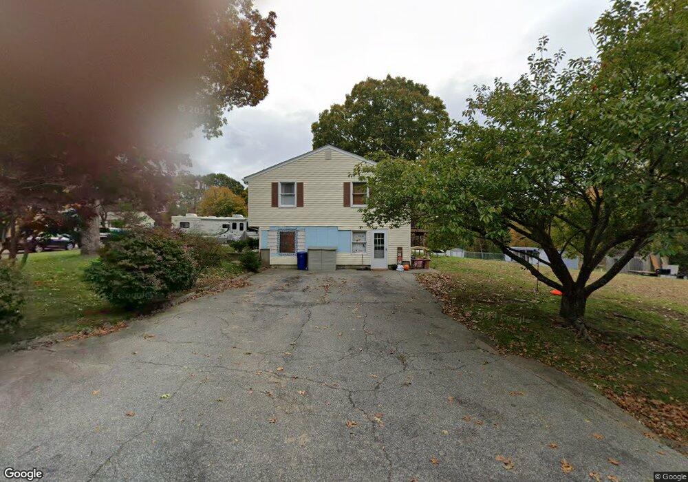
1 Mohegan Trail Westerly, RI 02891
Estimated Value: $475,000 - $506,000
3
Beds
2
Baths
1,430
Sq Ft
$339/Sq Ft
Est. Value
About This Home
This home is located at 1 Mohegan Trail, Westerly, RI 02891 and is currently estimated at $485,003, approximately $339 per square foot. 1 Mohegan Trail is a home located in Washington County with nearby schools including Westerly High School and St. Michael School.
Ownership History
Date
Name
Owned For
Owner Type
Purchase Details
Closed on
Jul 29, 2011
Sold by
Moore Brian and Westerly Fire District
Bought by
Rhode Island Hsng & Mtg
Current Estimated Value
Create a Home Valuation Report for This Property
The Home Valuation Report is an in-depth analysis detailing your home's value as well as a comparison with similar homes in the area
Home Values in the Area
Average Home Value in this Area
Purchase History
| Date | Buyer | Sale Price | Title Company |
|---|---|---|---|
| Rhode Island Hsng & Mtg | -- | -- |
Source: Public Records
Mortgage History
| Date | Status | Borrower | Loan Amount |
|---|---|---|---|
| Open | Rhode Island Hsng & Mtg | $164,600 | |
| Previous Owner | Rhode Island Hsng & Mtg | $150,000 |
Source: Public Records
Tax History Compared to Growth
Tax History
| Year | Tax Paid | Tax Assessment Tax Assessment Total Assessment is a certain percentage of the fair market value that is determined by local assessors to be the total taxable value of land and additions on the property. | Land | Improvement |
|---|---|---|---|---|
| 2025 | $3,143 | $442,100 | $183,200 | $258,900 |
| 2024 | $3,488 | $355,600 | $131,500 | $224,100 |
| 2023 | $3,421 | $355,600 | $131,500 | $224,100 |
| 2022 | $3,400 | $355,600 | $131,500 | $224,100 |
| 2021 | $3,363 | $291,900 | $114,700 | $177,200 |
| 2020 | $3,301 | $291,900 | $114,700 | $177,200 |
| 2019 | $3,269 | $291,900 | $114,700 | $177,200 |
| 2018 | $3,138 | $264,100 | $114,700 | $149,400 |
| 2017 | $3,141 | $271,000 | $114,700 | $156,300 |
| 2016 | $3,165 | $271,000 | $114,700 | $156,300 |
| 2015 | $3,018 | $278,900 | $122,600 | $156,300 |
| 2014 | $2,968 | $278,900 | $122,600 | $156,300 |
Source: Public Records
Map
Nearby Homes
- 6 Tidewinds Ln
- 0 Iroquois Ave
- 17 Apache Dr Unit G
- 9 Apache Dr Unit C
- 9 Ward Ave
- 52 Spruce St
- 145 High St Unit D
- 38 Newton Ave
- 94 Ashaway Rd
- 140 High St Unit 307
- 16 Boiling Spring Ave
- 57 School St
- 19 Pleasant St
- 101 Ashaway Rd
- 223 High St Unit S
- 67 Cross St
- 103 Ashaway Rd
- 4 Pearl St
- 25 School St Unit 4
- 25 School St Unit 2