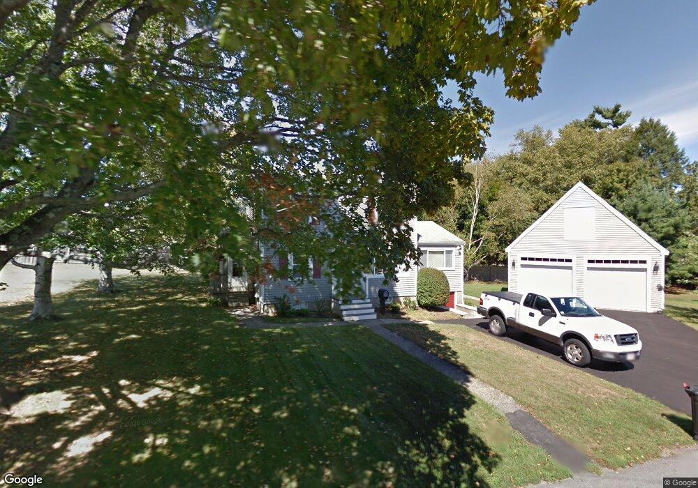
1 Myrtle St Amesbury, MA 01913
Estimated Value: $633,000 - $686,000
3
Beds
2
Baths
1,700
Sq Ft
$384/Sq Ft
Est. Value
About This Home
This home is located at 1 Myrtle St, Amesbury, MA 01913 and is currently estimated at $653,471, approximately $384 per square foot. 1 Myrtle St is a home located in Essex County with nearby schools including Amesbury High School and Amesbury Seventh-Day Adventist School.
Ownership History
Date
Name
Owned For
Owner Type
Purchase Details
Closed on
Jun 15, 1987
Sold by
Detora John A
Bought by
Chirco Anthony W
Current Estimated Value
Home Financials for this Owner
Home Financials are based on the most recent Mortgage that was taken out on this home.
Original Mortgage
$120,600
Interest Rate
10.47%
Mortgage Type
Purchase Money Mortgage
Create a Home Valuation Report for This Property
The Home Valuation Report is an in-depth analysis detailing your home's value as well as a comparison with similar homes in the area
Home Values in the Area
Average Home Value in this Area
Purchase History
| Date | Buyer | Sale Price | Title Company |
|---|---|---|---|
| Chirco Anthony W | $134,000 | -- |
Source: Public Records
Mortgage History
| Date | Status | Borrower | Loan Amount |
|---|---|---|---|
| Open | Chirco Anthony W | $133,000 | |
| Closed | Chirco Anthony W | $40,000 | |
| Closed | Chirco Anthony W | $106,000 | |
| Closed | Chirco Anthony W | $120,600 |
Source: Public Records
Tax History Compared to Growth
Tax History
| Year | Tax Paid | Tax Assessment Tax Assessment Total Assessment is a certain percentage of the fair market value that is determined by local assessors to be the total taxable value of land and additions on the property. | Land | Improvement |
|---|---|---|---|---|
| 2025 | $8,238 | $538,400 | $241,500 | $296,900 |
| 2024 | $7,894 | $504,700 | $227,800 | $276,900 |
| 2023 | $7,258 | $444,200 | $198,000 | $246,200 |
| 2022 | $6,977 | $394,400 | $172,200 | $222,200 |
| 2021 | $6,294 | $344,900 | $133,000 | $211,900 |
| 2020 | $5,671 | $330,100 | $127,900 | $202,200 |
| 2019 | $5,818 | $316,700 | $127,900 | $188,800 |
| 2018 | $5,640 | $297,000 | $121,700 | $175,300 |
| 2017 | $5,817 | $291,600 | $121,700 | $169,900 |
| 2016 | $5,723 | $282,200 | $121,700 | $160,500 |
| 2015 | $5,659 | $275,500 | $121,700 | $153,800 |
| 2014 | $5,580 | $266,100 | $121,700 | $144,400 |
Source: Public Records
Map
Nearby Homes
- 3 Brown Ave Unit 75
- 1 Brown Ave Unit 3-80
- 57 Clinton St
- 3 Glenwood St
- 1 Stacey Ln
- 2 Locke Hill Ln
- 105 Market St Unit B
- 103 Market St Unit A
- 103 Market St Unit B
- 101 Market St Unit B
- 101 Market St Unit A
- 100 Congress St
- 21 Woodman Rd
- 25 Cedar St Unit 4
- 25 Cedar St Unit 7
- 7 Melrose St
- 48 Orchard St
- 53 Market St
- 97 Elm St
- 17 Linwood Place
- 3 Myrtle St
- 200 Market St
- 203 Market St
- 199 Market St
- 206 Market St
- 198 Market St
- 5 Myrtle St
- 118.5 Market St Unit 1
- 2 Brown Ave Unit 2-67
- 2 Brown Ave Unit 72
- 2 Brown Ave Unit 70
- 2 Brown Ave Unit 69
- 2 Brown Ave Unit 68
- 2 Brown Ave Unit 67
- 2 Brown Ave Unit 66
- 2 Brown Ave Unit 65
- 2 Brown Ave Unit 64
- 2 Brown Ave Unit 63
- 2 Brown Ave Unit 62
- 2 Brown Ave Unit 60