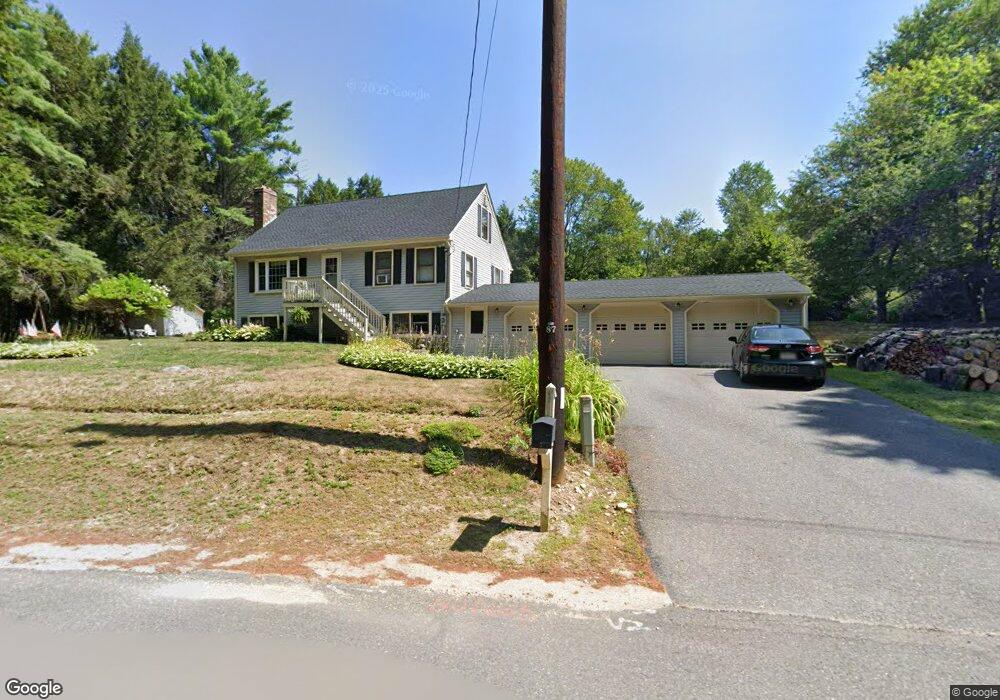
1 Norcross Rd Royalston, MA 01368
Estimated Value: $226,000 - $535,000
3
Beds
1
Bath
1,350
Sq Ft
$283/Sq Ft
Est. Value
About This Home
This home is located at 1 Norcross Rd, Royalston, MA 01368 and is currently estimated at $381,788, approximately $282 per square foot. 1 Norcross Rd is a home located in Worcester County with nearby schools including Athol High School and The Village School.
Ownership History
Date
Name
Owned For
Owner Type
Purchase Details
Closed on
Apr 1, 1986
Bought by
Caisse Scott M and Caisse Donna L
Current Estimated Value
Create a Home Valuation Report for This Property
The Home Valuation Report is an in-depth analysis detailing your home's value as well as a comparison with similar homes in the area
Home Values in the Area
Average Home Value in this Area
Purchase History
We collect this data history from publicly available records. To have your information removed, we recommend requesting removal directly through your county’s website.
| Date | Buyer | Sale Price | Title Company |
|---|---|---|---|
| Caisse Scott M | $60,000 | -- |
Source: Public Records
Mortgage History
We collect this data history from publicly available records. To have your information removed, we recommend requesting removal directly through your county’s website.
| Date | Status | Borrower | Loan Amount |
|---|---|---|---|
| Open | Caisse Scott M | $65,000 |
Source: Public Records
Tax History
| Year | Tax Paid | Tax Assessment Tax Assessment Total Assessment is a certain percentage of the fair market value that is determined by local assessors to be the total taxable value of land and additions on the property. | Land | Improvement |
|---|---|---|---|---|
| 2025 | $2,528 | $262,800 | $35,700 | $227,100 |
| 2024 | $2,489 | $262,800 | $35,700 | $227,100 |
| 2023 | $2,538 | $259,200 | $35,700 | $223,500 |
| 2022 | $2,482 | $203,300 | $28,400 | $174,900 |
| 2020 | $2,320 | $171,600 | $28,400 | $143,200 |
| 2019 | $2,231 | $171,600 | $28,400 | $143,200 |
| 2018 | $2,088 | $144,600 | $28,400 | $116,200 |
| 2017 | $2,053 | $144,600 | $28,400 | $116,200 |
| 2016 | $1,973 | $146,500 | $27,600 | $118,900 |
| 2015 | $1,921 | $146,500 | $27,600 | $118,900 |
| 2014 | $1,800 | $146,500 | $27,600 | $118,900 |
Source: Public Records
Map
Nearby Homes
- Lot 6 Brown Rd
- 0 Taft Hill Rd
- 12 On the Common
- 23 The Common
- 17 N Fitzwilliam Rd
- 34 Morse Rd
- lot 12 N Fitzwilliam Rd
- 0 Hale St Unit 73519884
- 162 Sandy Hollow Rd
- 35 Royalston Rd N
- 85 Pierce Rd
- 394 Front St
- 40 Doyle Ave
- 42 Doyle Ave
- 87 Putney Rd
- 38 West St
- 10-12 School Square
- 115 Brook Side Rd Unit 2-12
- 77 Kinsman Rd
- 74 Fern Cir
- 84 Winchendon Rd
- 5 Norcross Rd
- 81 Winchendon Rd
- 80 Winchendon Rd
- 88 Winchendon Rd
- 7 Norcross Rd
- 9 Norcross Rd
- 93 Winchendon Rd
- 69 Winchendon Rd
- 18 Norcross Rd
- 20 Norcross Rd
- 22 Norcross Rd
- 61 Winchendon Rd
- 60 Winchendon Rd
- 58 Winchendon Rd
- 57 Winchendon Rd
- 1 Winchendon Rd
- 114 Winchendon Rd
- 42 Winchendon Rd
- 1-2 Stone Rd
Your Personal Tour Guide
Ask me questions while you tour the home.