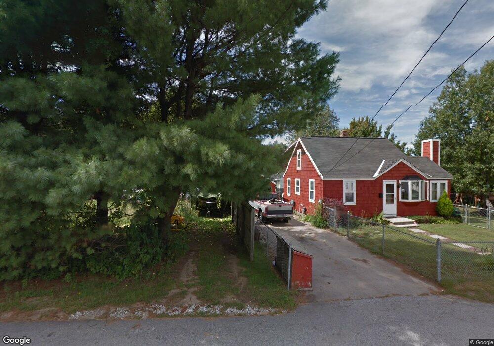
1 Notre Dame Ave Allenstown, NH 03275
Suncook NeighborhoodEstimated Value: $342,000 - $413,000
3
Beds
2
Baths
1,179
Sq Ft
$321/Sq Ft
Est. Value
About This Home
This home is located at 1 Notre Dame Ave, Allenstown, NH 03275 and is currently estimated at $378,676, approximately $321 per square foot. 1 Notre Dame Ave is a home located in Merrimack County with nearby schools including Allenstown Elementary School, Armand R. Dupont School, and Tender Years Child Care & Learning Center.
Ownership History
Date
Name
Owned For
Owner Type
Purchase Details
Closed on
Aug 24, 2023
Sold by
Pilotte Nancy J and Pilotte David M
Bought by
Pilotte Nancy J and Pilotte David M
Current Estimated Value
Home Financials for this Owner
Home Financials are based on the most recent Mortgage that was taken out on this home.
Original Mortgage
$275,946
Outstanding Balance
$269,658
Interest Rate
6.81%
Mortgage Type
FHA
Estimated Equity
$109,018
Purchase Details
Closed on
Aug 31, 2001
Sold by
Dunne James and Dunne Tammy
Bought by
Unknown
Home Financials for this Owner
Home Financials are based on the most recent Mortgage that was taken out on this home.
Original Mortgage
$126,300
Interest Rate
7.06%
Mortgage Type
Purchase Money Mortgage
Create a Home Valuation Report for This Property
The Home Valuation Report is an in-depth analysis detailing your home's value as well as a comparison with similar homes in the area
Home Values in the Area
Average Home Value in this Area
Purchase History
| Date | Buyer | Sale Price | Title Company |
|---|---|---|---|
| Pilotte Nancy J | -- | None Available | |
| Pilotte Nancy J | -- | None Available | |
| Unknown | $133,000 | -- | |
| Unknown | $133,000 | -- |
Source: Public Records
Mortgage History
| Date | Status | Borrower | Loan Amount |
|---|---|---|---|
| Open | Pilotte Nancy J | $275,946 | |
| Closed | Pilotte Nancy J | $275,946 | |
| Previous Owner | Unknown | $126,300 |
Source: Public Records
Tax History Compared to Growth
Tax History
| Year | Tax Paid | Tax Assessment Tax Assessment Total Assessment is a certain percentage of the fair market value that is determined by local assessors to be the total taxable value of land and additions on the property. | Land | Improvement |
|---|---|---|---|---|
| 2024 | $7,311 | $287,600 | $138,100 | $149,500 |
| 2023 | $6,097 | $287,600 | $138,100 | $149,500 |
| 2022 | $5,608 | $287,600 | $138,100 | $149,500 |
| 2021 | $4,845 | $153,800 | $78,700 | $75,100 |
| 2020 | $4,506 | $153,800 | $78,700 | $75,100 |
| 2019 | $4,733 | $152,200 | $78,700 | $73,500 |
| 2018 | $4,589 | $152,200 | $78,700 | $73,500 |
| 2017 | $4,887 | $152,200 | $78,700 | $73,500 |
| 2016 | $4,155 | $122,700 | $57,300 | $65,400 |
| 2015 | $4,025 | $122,600 | $57,300 | $65,300 |
| 2014 | $4,141 | $122,600 | $57,300 | $65,300 |
| 2013 | $3,859 | $122,400 | $57,300 | $65,100 |
Source: Public Records
Map
Nearby Homes
- 422 Dawn Dr Unit 23
- 427 Dawn Dr Unit 15
- 28 Notre Dame Ave
- 15 Main St
- 4 Rodger Rd
- 7 Ferry St
- 111 Glass St
- 1 1/2 Bartlett St
- 100 Main St Unit M10
- 100 Main St Unit 204
- 12-14 Church St Unit 12,14
- 19 Sullivan Dr
- 10 Lane Dr
- 2 Cheryl Dr
- 15 Sullivan Dr
- 1821 Hooksett Rd
- 259 Pembroke St
- 10 Northview Terrace
- 10 Winchester Ct
- 14 Manor Dr Unit D