1 Peterof Cir Andover, MA 01810
Far West Andover NeighborhoodEstimated Value: $817,363 - $1,069,000
3
Beds
2
Baths
1,895
Sq Ft
$501/Sq Ft
Est. Value
About This Home
This home is located at 1 Peterof Cir, Andover, MA 01810 and is currently estimated at $950,341, approximately $501 per square foot. 1 Peterof Cir is a home located in Essex County with nearby schools including High Plain Elementary School, Wood Hill Middle School, and Andover High School.
Create a Home Valuation Report for This Property
The Home Valuation Report is an in-depth analysis detailing your home's value as well as a comparison with similar homes in the area
Home Values in the Area
Average Home Value in this Area
Tax History Compared to Growth
Tax History
| Year | Tax Paid | Tax Assessment Tax Assessment Total Assessment is a certain percentage of the fair market value that is determined by local assessors to be the total taxable value of land and additions on the property. | Land | Improvement |
|---|---|---|---|---|
| 2024 | $10,018 | $777,800 | $513,300 | $264,500 |
| 2023 | $9,693 | $709,600 | $462,800 | $246,800 |
| 2022 | $8,944 | $612,600 | $403,100 | $209,500 |
| 2021 | $8,581 | $561,200 | $367,000 | $194,200 |
| 2020 | $8,254 | $549,900 | $358,300 | $191,600 |
| 2019 | $8,189 | $536,300 | $347,800 | $188,500 |
| 2018 | $7,970 | $509,600 | $334,700 | $174,900 |
| 2017 | $7,637 | $503,100 | $328,200 | $174,900 |
| 2016 | $7,477 | $504,500 | $328,200 | $176,300 |
| 2015 | $7,235 | $483,300 | $315,600 | $167,700 |
Source: Public Records
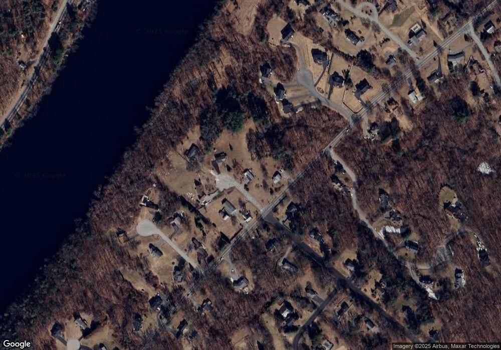
Map
Nearby Homes
- 322 River Rd
- 2 Nollet Dr
- 46 Hopkins Cir
- 42 Hopkins Cir
- 2 Francis Dr Unit 412
- 4 Francis Dr Unit 105
- 2 Francis Dr Unit 213
- 4 Francis Dr Unit 207
- 31 Varnum Ave
- 821 Merrimack Ave
- 12 Hayfield Rd
- 51 Bellevue Ave
- 14 Mount Pleasant Ave
- 750 Brookside Dr Unit G
- 514 Lowell St
- 78 Deering Dr
- 1563 Andover St Unit 18
- 995 North St
- 820 Methuen St Unit 820
- 14 Tyler St