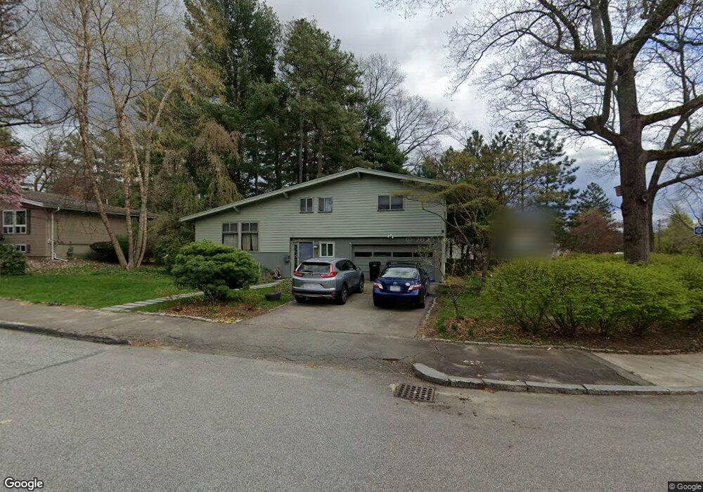
1 Randy Rd Framingham, MA 01701
Estimated Value: $651,000 - $750,000
3
Beds
3
Baths
2,102
Sq Ft
$335/Sq Ft
Est. Value
About This Home
This home is located at 1 Randy Rd, Framingham, MA 01701 and is currently estimated at $704,971, approximately $335 per square foot. 1 Randy Rd is a home located in Middlesex County with nearby schools including Framingham High School, Christa McAuliffe Charter School, and Happy Hollow School.
Ownership History
Date
Name
Owned For
Owner Type
Purchase Details
Closed on
Feb 18, 2010
Sold by
Leonard Marc D and Ross Ashley B
Bought by
Saltus Richard C and Perugi Deborah A
Current Estimated Value
Home Financials for this Owner
Home Financials are based on the most recent Mortgage that was taken out on this home.
Original Mortgage
$308,800
Outstanding Balance
$205,800
Interest Rate
5.17%
Mortgage Type
Purchase Money Mortgage
Estimated Equity
$499,171
Purchase Details
Closed on
Apr 5, 2005
Sold by
Perry Judith A and Perry William A
Bought by
Ross Ashley B and Leonard Marc D
Home Financials for this Owner
Home Financials are based on the most recent Mortgage that was taken out on this home.
Original Mortgage
$82,000
Interest Rate
5.61%
Mortgage Type
Purchase Money Mortgage
Create a Home Valuation Report for This Property
The Home Valuation Report is an in-depth analysis detailing your home's value as well as a comparison with similar homes in the area
Home Values in the Area
Average Home Value in this Area
Purchase History
| Date | Buyer | Sale Price | Title Company |
|---|---|---|---|
| Saltus Richard C | $386,000 | -- | |
| Ross Ashley B | $408,900 | -- |
Source: Public Records
Mortgage History
| Date | Status | Borrower | Loan Amount |
|---|---|---|---|
| Open | Saltus Richard C | $308,800 | |
| Previous Owner | Ross Ashley B | $82,000 |
Source: Public Records
Tax History
| Year | Tax Paid | Tax Assessment Tax Assessment Total Assessment is a certain percentage of the fair market value that is determined by local assessors to be the total taxable value of land and additions on the property. | Land | Improvement |
|---|---|---|---|---|
| 2025 | $7,965 | $667,100 | $260,600 | $406,500 |
| 2024 | $7,770 | $623,600 | $232,700 | $390,900 |
| 2023 | $7,330 | $560,000 | $207,700 | $352,300 |
| 2022 | $6,943 | $505,300 | $188,500 | $316,800 |
| 2021 | $6,802 | $484,100 | $181,200 | $302,900 |
| 2020 | $6,717 | $448,400 | $164,600 | $283,800 |
| 2019 | $6,646 | $432,100 | $164,600 | $267,500 |
| 2018 | $6,539 | $400,700 | $158,500 | $242,200 |
| 2017 | $6,296 | $376,800 | $153,800 | $223,000 |
| 2016 | $6,340 | $364,800 | $153,800 | $211,000 |
| 2015 | $6,417 | $360,100 | $154,200 | $205,900 |
Source: Public Records
Map
Nearby Homes
- 8 Emily Rd
- 7 Ballydrain Rd
- 108 Cherry St
- Lot 3 Murray Hill Rd
- 447 Old Connecticut Path
- 35 Gleason St
- 14 Ridgefield Dr
- 689 Old Connecticut Path
- 30 A St
- 109 Hastings St
- 13 Hamilton St
- 46 Cochituate Rd Unit 106
- 107 Lockland Ave
- 40 Nouvelle Way Unit 441
- 11 Danforth Park Rd
- 27 Valentine Rd
- 2 Simpson Dr
- 106 Danforth St
- 9 Palmer Rd
- 19 Chestnut St
Your Personal Tour Guide
Ask me questions while you tour the home.