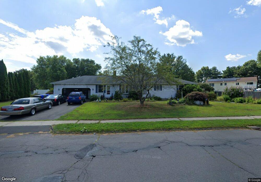
1 Somers Rd Enfield, CT 06082
Estimated Value: $372,000 - $454,000
3
Beds
1
Bath
1,574
Sq Ft
$260/Sq Ft
Est. Value
About This Home
This home is located at 1 Somers Rd, Enfield, CT 06082 and is currently estimated at $409,564, approximately $260 per square foot. 1 Somers Rd is a home located in Hartford County with nearby schools including Nathan Hale Elementary School, Eli Whitney Elementary School, and John F. Kennedy Middle School.
Ownership History
Date
Name
Owned For
Owner Type
Purchase Details
Closed on
Jan 8, 2016
Sold by
Trahan Marcel L
Bought by
Trahan Marcel L and Macwhinnie Beverly M
Current Estimated Value
Purchase Details
Closed on
Jul 31, 1998
Sold by
Barber Douglas and Barber Laurdes
Bought by
Trahan Marcal
Purchase Details
Closed on
Apr 30, 1992
Sold by
King David and King Kathleen
Bought by
Barber Douglas and Barber Lourdes
Purchase Details
Closed on
Jan 16, 1987
Sold by
Vono Francesco
Bought by
King David
Create a Home Valuation Report for This Property
The Home Valuation Report is an in-depth analysis detailing your home's value as well as a comparison with similar homes in the area
Home Values in the Area
Average Home Value in this Area
Purchase History
| Date | Buyer | Sale Price | Title Company |
|---|---|---|---|
| Trahan Marcel L | -- | -- | |
| Trahan Marcal | $137,000 | -- | |
| Barber Douglas | $125,000 | -- | |
| King David | $113,400 | -- |
Source: Public Records
Mortgage History
| Date | Status | Borrower | Loan Amount |
|---|---|---|---|
| Open | King David | $140,000 | |
| Previous Owner | King David | $117,000 |
Source: Public Records
Tax History Compared to Growth
Tax History
| Year | Tax Paid | Tax Assessment Tax Assessment Total Assessment is a certain percentage of the fair market value that is determined by local assessors to be the total taxable value of land and additions on the property. | Land | Improvement |
|---|---|---|---|---|
| 2025 | $7,675 | $216,200 | $61,200 | $155,000 |
| 2024 | $7,472 | $216,200 | $61,200 | $155,000 |
| 2023 | $7,429 | $216,200 | $61,200 | $155,000 |
| 2022 | $6,841 | $216,200 | $61,200 | $155,000 |
| 2021 | $6,606 | $171,010 | $50,720 | $120,290 |
| 2020 | $6,538 | $171,010 | $50,720 | $120,290 |
| 2019 | $6,367 | $171,010 | $50,720 | $120,290 |
| 2018 | $6,225 | $171,010 | $50,720 | $120,290 |
| 2017 | $5,888 | $171,010 | $50,720 | $120,290 |
| 2016 | $5,626 | $169,660 | $52,050 | $117,610 |
| 2015 | $3,008 | $169,660 | $52,050 | $117,610 |
| 2014 | $5,332 | $169,660 | $52,050 | $117,610 |
Source: Public Records
Map
Nearby Homes
- 4 Copley Cir
- 2 Meacham Dr Unit 2
- 436 Taylor Rd
- 31 Meade Ln
- 155 Sheridan Rd
- 35 Therese Dr
- 11 Northfield Rd
- 49 Bridle Path Dr
- 102 N Maple St Unit 1A
- 557 Hall Hill Rd
- 12 the Laurels Unit 12
- 90 Cottage Rd
- 11 Brook Rd
- 176 Cottage Rd
- 603 Hall Hill Rd
- 56 N Maple St
- 6 Jondot Dr
- 35 Cantlewood Dr
- 65 W Shore Dr
- 42 Candlewood Dr Unit 42