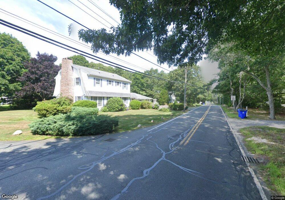
1 Spruce Dr Pocasset, MA 02559
Pocasset NeighborhoodEstimated Value: $562,000 - $632,000
3
Beds
2
Baths
819
Sq Ft
$724/Sq Ft
Est. Value
About This Home
This home is located at 1 Spruce Dr, Pocasset, MA 02559 and is currently estimated at $592,696, approximately $723 per square foot. 1 Spruce Dr is a home located in Barnstable County with nearby schools including Bourne High School and Cadence Academy Preschool - Bourne.
Ownership History
Date
Name
Owned For
Owner Type
Purchase Details
Closed on
Dec 6, 2024
Sold by
Molloy Diana M
Bought by
Mahoney Paul and Mahoney Kimberly
Current Estimated Value
Home Financials for this Owner
Home Financials are based on the most recent Mortgage that was taken out on this home.
Original Mortgage
$447,520
Outstanding Balance
$442,061
Interest Rate
6.88%
Mortgage Type
Purchase Money Mortgage
Estimated Equity
$150,635
Purchase Details
Closed on
Nov 4, 2020
Sold by
Arcail Amy
Bought by
Molloy Diana M
Home Financials for this Owner
Home Financials are based on the most recent Mortgage that was taken out on this home.
Original Mortgage
$170,000
Interest Rate
2.9%
Mortgage Type
New Conventional
Purchase Details
Closed on
Aug 11, 2017
Sold by
Rossini Joseph B and Rossini Jacqueline A
Bought by
Arcail Amy
Purchase Details
Closed on
Jan 4, 2005
Sold by
Rossini Jacqueline A and Rossini Joseph B
Bought by
Rossini Jacqueline A and Rossini Joseph B
Purchase Details
Closed on
Jul 30, 2004
Sold by
Kadehjian Arthur J and Kadehjian Elizabeth A
Bought by
Rossini Jacqueline A and Rossini Joseph B
Create a Home Valuation Report for This Property
The Home Valuation Report is an in-depth analysis detailing your home's value as well as a comparison with similar homes in the area
Home Values in the Area
Average Home Value in this Area
Purchase History
| Date | Buyer | Sale Price | Title Company |
|---|---|---|---|
| Mahoney Paul | $559,400 | None Available | |
| Mahoney Paul | $559,400 | None Available | |
| Mahoney Paul | $559,400 | None Available | |
| Molloy Diana M | $380,000 | None Available | |
| Molloy Diana M | $380,000 | None Available | |
| Molloy Diana M | $380,000 | None Available | |
| Arcail Amy | $342,500 | -- | |
| Arcail Amy | $342,500 | -- | |
| Rossini Jacqueline A | -- | -- | |
| Rossini Jacqueline A | $330,000 | -- | |
| Arcail Amy | $342,500 | -- | |
| Rossini Jacqueline A | -- | -- | |
| Rossini Jacqueline A | $330,000 | -- |
Source: Public Records
Mortgage History
| Date | Status | Borrower | Loan Amount |
|---|---|---|---|
| Open | Mahoney Paul | $447,520 | |
| Closed | Mahoney Paul | $447,520 | |
| Previous Owner | Molloy Diana M | $170,000 |
Source: Public Records
Tax History
| Year | Tax Paid | Tax Assessment Tax Assessment Total Assessment is a certain percentage of the fair market value that is determined by local assessors to be the total taxable value of land and additions on the property. | Land | Improvement |
|---|---|---|---|---|
| 2025 | $4,524 | $579,200 | $417,500 | $161,700 |
| 2024 | $4,626 | $576,800 | $397,600 | $179,200 |
| 2023 | $4,123 | $468,000 | $309,700 | $158,300 |
| 2022 | $3,727 | $369,400 | $242,900 | $126,500 |
| 2021 | $3,111 | $288,900 | $221,100 | $67,800 |
| 2020 | $3,045 | $283,500 | $219,000 | $64,500 |
| 2019 | $2,946 | $280,300 | $219,000 | $61,300 |
| 2018 | $2,845 | $269,900 | $213,900 | $56,000 |
| 2017 | $2,947 | $286,100 | $233,100 | $53,000 |
| 2016 | $2,625 | $258,400 | $211,900 | $46,500 |
| 2015 | $2,602 | $258,400 | $211,900 | $46,500 |
Source: Public Records
Map
Nearby Homes
Your Personal Tour Guide
Ask me questions while you tour the home.