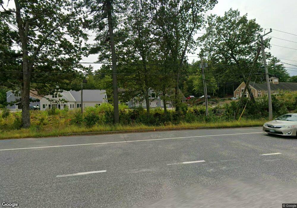
1 State Route 101a Unit Building 2 Amherst, NH 03031
--
Bed
2
Baths
5,128
Sq Ft
--
Built
About This Home
This home is located at 1 State Route 101a Unit Building 2, Amherst, NH 03031. 1 State Route 101a Unit Building 2 is a home located in Hillsborough County with nearby schools including Wilkins Elementary School, Amherst Middle School, and Souhegan Cooperative High School.
Ownership History
Date
Name
Owned For
Owner Type
Purchase Details
Closed on
Jun 22, 2023
Sold by
Max Five Homes Inc
Bought by
Finial Holdings Llc
Home Financials for this Owner
Home Financials are based on the most recent Mortgage that was taken out on this home.
Original Mortgage
$320,000
Outstanding Balance
$310,759
Interest Rate
6.39%
Mortgage Type
New Conventional
Purchase Details
Closed on
May 27, 2022
Sold by
101A Condo Llc
Bought by
Max 5 Homes Inc
Home Financials for this Owner
Home Financials are based on the most recent Mortgage that was taken out on this home.
Original Mortgage
$175,000
Interest Rate
5%
Mortgage Type
Purchase Money Mortgage
Create a Home Valuation Report for This Property
The Home Valuation Report is an in-depth analysis detailing your home's value as well as a comparison with similar homes in the area
Home Values in the Area
Average Home Value in this Area
Purchase History
| Date | Buyer | Sale Price | Title Company |
|---|---|---|---|
| Finial Holdings Llc | -- | None Available | |
| Max 5 Homes Inc | $265,000 | None Available |
Source: Public Records
Mortgage History
| Date | Status | Borrower | Loan Amount |
|---|---|---|---|
| Open | Finial Holdings Llc | $320,000 | |
| Previous Owner | Max 5 Homes Inc | $175,000 |
Source: Public Records
Tax History Compared to Growth
Tax History
| Year | Tax Paid | Tax Assessment Tax Assessment Total Assessment is a certain percentage of the fair market value that is determined by local assessors to be the total taxable value of land and additions on the property. | Land | Improvement |
|---|---|---|---|---|
| 2024 | $8,624 | $376,100 | $0 | $376,100 |
| 2023 | $8,229 | $376,100 | $0 | $376,100 |
| 2022 | $7,947 | $376,100 | $0 | $376,100 |
| 2021 | $8,015 | $376,100 | $0 | $376,100 |
| 2020 | $0 | $636,800 | $0 | $636,800 |
| 2019 | $0 | $630,600 | $0 | $630,600 |
| 2018 | $0 | $630,600 | $0 | $630,600 |
| 2017 | $0 | $630,600 | $0 | $630,600 |
| 2016 | -- | $630,600 | $0 | $630,600 |
| 2015 | -- | $589,800 | $0 | $589,800 |
| 2014 | -- | $589,800 | $0 | $589,800 |
| 2013 | -- | $589,800 | $0 | $589,800 |
Source: Public Records
Map
Nearby Homes
- 8 Carriage Ln
- 2 Benning St
- 16 Captain Danforth Ln
- 12 Fairway Dr
- 6 Veterans Rd Unit 15
- 377 Nashua St
- 0 Claude Rd
- 24 Deerwood Dr
- 25 Eastern Ave
- 9 Northfield Rd
- 40 North St
- 148 County Rd
- 150 County Rd Unit 4-142-8
- 150 County Rd
- 2 County Rd
- 1A Debbie Ln
- 44 Osgood Rd
- 6 Whittemore Ln
- 7 Miles Rd
- 25 Atherton Ln
- 1 State Route 101a
- 1 New Hampshire 101a Unit Building 2, Floor 1
- 1 New Hampshire 101a
- 1 New Hampshire 101a Unit 4
- 1 State Route 101 Unit Building 2, includes
- 5 New Hampshire 101a
- 31 Pinewood Dr
- 7 State Route 101a
- 29 Pinewood Dr
- 16 Pinewood Dr
- 18 Pinewood Dr
- 14 Pinewood Dr
- 12 Pinewood Dr
- 23 Standish Way
- 27 Pinewood Dr
- 19 Standish Way
- 21 Pinewood Dr
- 17 Pinewood Dr
- 19 Pinewood Dr
- 15 Pinewood Dr