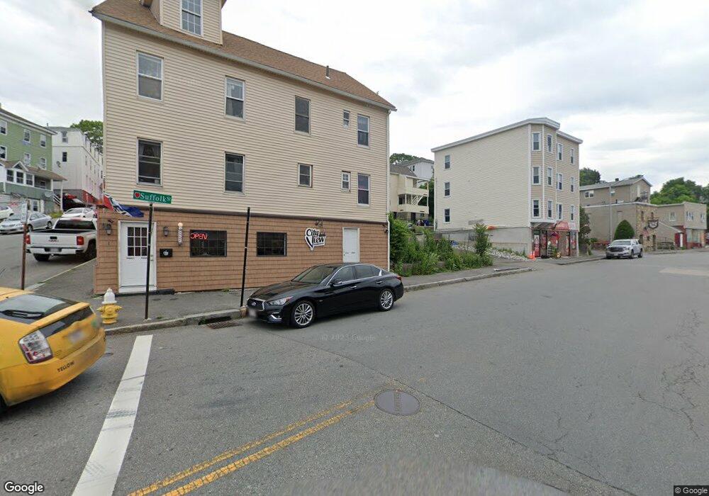
1 Suffolk St Unit 1 Worcester, MA 01604
Franklin Plantation NeighborhoodEstimated Value: $352,432
1
Bed
1
Bath
650
Sq Ft
$542/Sq Ft
Est. Value
About This Home
This home is located at 1 Suffolk St Unit 1, Worcester, MA 01604 and is currently estimated at $352,432, approximately $542 per square foot. 1 Suffolk St Unit 1 is a home located in Worcester County with nearby schools including Jacob Hiatt Magnet School, Chandler Magnet, and Grafton Street.
Ownership History
Date
Name
Owned For
Owner Type
Purchase Details
Closed on
Jul 1, 2024
Sold by
Caldwell Ronald J
Bought by
Brate I Llc
Current Estimated Value
Purchase Details
Closed on
Sep 20, 2016
Sold by
Maunsell Ft and Maunsell
Bought by
Caldwell Ronald and Haddad Virginia
Home Financials for this Owner
Home Financials are based on the most recent Mortgage that was taken out on this home.
Original Mortgage
$146,000
Interest Rate
3.43%
Mortgage Type
Commercial
Purchase Details
Closed on
Mar 15, 2004
Sold by
Sakaloglou Gail and Sakaloglou George
Bought by
Maunsell Kieran M and Miller-Maunsell Natasha E
Home Financials for this Owner
Home Financials are based on the most recent Mortgage that was taken out on this home.
Original Mortgage
$164,000
Interest Rate
5.67%
Mortgage Type
Commercial
Purchase Details
Closed on
Nov 22, 2000
Sold by
Scola Jane M
Bought by
Carey David M
Create a Home Valuation Report for This Property
The Home Valuation Report is an in-depth analysis detailing your home's value as well as a comparison with similar homes in the area
Home Values in the Area
Average Home Value in this Area
Purchase History
| Date | Buyer | Sale Price | Title Company |
|---|---|---|---|
| Brate I Llc | -- | None Available | |
| Brate I Llc | -- | None Available | |
| Caldwell Ronald | $182,500 | -- | |
| Maunsell Kieran M | $205,000 | -- | |
| Maunsell Kieran M | $205,000 | -- | |
| Carey David M | $69,000 | -- | |
| Carey David M | $69,000 | -- |
Source: Public Records
Mortgage History
| Date | Status | Borrower | Loan Amount |
|---|---|---|---|
| Previous Owner | Caldwell Ronald | $146,000 | |
| Previous Owner | Maunsell Kieran M | $164,000 |
Source: Public Records
Tax History
| Year | Tax Paid | Tax Assessment Tax Assessment Total Assessment is a certain percentage of the fair market value that is determined by local assessors to be the total taxable value of land and additions on the property. | Land | Improvement |
|---|---|---|---|---|
| 2025 | -- | $208,100 | $65,700 | $142,400 |
| 2024 | -- | $208,100 | $65,700 | $142,400 |
| 2023 | $0 | $208,100 | $57,100 | $151,000 |
| 2022 | $0 | $208,100 | $45,700 | $162,400 |
| 2021 | $0 | $208,100 | $36,500 | $171,600 |
| 2020 | $0 | $208,100 | $33,800 | $174,300 |
| 2019 | $0 | $211,400 | $21,800 | $189,600 |
| 2018 | $0 | $195,300 | $21,800 | $173,500 |
| 2017 | $0 | $182,600 | $21,800 | $160,800 |
| 2016 | -- | $176,000 | $18,800 | $157,200 |
| 2015 | -- | $176,000 | $18,800 | $157,200 |
| 2014 | -- | $176,000 | $18,800 | $157,200 |
Source: Public Records
Map
Nearby Homes
- 5 Mcfarland Ct
- 13 Groton Place
- 24 Ingleside Ave
- 9 Barclay St
- 15 Houghton St Unit 9
- 115 Orient St
- 112 Harrison St
- 21 Mott St
- 32 Providence St Unit 5
- 57 Cutler St
- 34 Robin Rd
- 103 Hamilton St
- 22 Waverly St
- 68 Dartmouth St
- 1 Arlington St
- 429 Grafton St Unit 2
- 78 Gage St
- 59 Barclay St
- 155 Hamilton St Unit 4
- 247 Shrewsbury St
- 1 Suffolk St
- 1 Suffolk St Unit 2
- 11R Suffolk St
- 6 Norfolk St
- 372 Franklin St
- 8 Norfolk St
- 11 Norfolk St
- 13 Norfolk St
- 10 Norfolk St
- 15 Groton Place
- 12 Norfolk St
- 23 Suffolk St
- 23 Suffolk St Unit 4
- 15 Norfolk St Unit 2
- 388 Franklin St
- 11 Groton Place
- 11 Groton Place Unit 3
- 11 Groton Place Unit 2
- 354 Franklin St
- 20 Groton Place
Your Personal Tour Guide
Ask me questions while you tour the home.