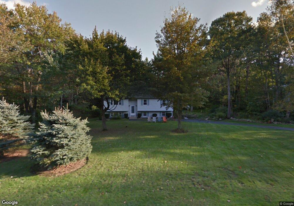
1 Thornton Rd Londonderry, NH 03053
Estimated Value: $595,286 - $663,000
--
Bed
2
Baths
1,946
Sq Ft
$325/Sq Ft
Est. Value
About This Home
This home is located at 1 Thornton Rd, Londonderry, NH 03053 and is currently estimated at $633,072, approximately $325 per square foot. 1 Thornton Rd is a home with nearby schools including Matthew Thornton Elementary School, Londonderry Middle School, and Londonderry Senior High School.
Create a Home Valuation Report for This Property
The Home Valuation Report is an in-depth analysis detailing your home's value as well as a comparison with similar homes in the area
Home Values in the Area
Average Home Value in this Area
Tax History Compared to Growth
Tax History
| Year | Tax Paid | Tax Assessment Tax Assessment Total Assessment is a certain percentage of the fair market value that is determined by local assessors to be the total taxable value of land and additions on the property. | Land | Improvement |
|---|---|---|---|---|
| 2024 | $7,447 | $461,400 | $199,900 | $261,500 |
| 2023 | $7,221 | $461,400 | $199,900 | $261,500 |
| 2022 | $7,196 | $389,400 | $149,800 | $239,600 |
| 2021 | $7,157 | $389,400 | $149,800 | $239,600 |
| 2020 | $6,550 | $325,700 | $112,400 | $213,300 |
| 2019 | $6,315 | $325,700 | $112,400 | $213,300 |
| 2018 | $5,910 | $271,100 | $93,700 | $177,400 |
| 2017 | $5,858 | $271,100 | $93,700 | $177,400 |
| 2016 | $5,829 | $271,100 | $93,700 | $177,400 |
| 2015 | $5,699 | $271,100 | $93,700 | $177,400 |
| 2014 | $5,717 | $271,100 | $93,700 | $177,400 |
| 2011 | -- | $278,000 | $93,700 | $184,300 |
Source: Public Records
Map
Nearby Homes
- 90 High Range Rd
- 88 High Range Rd
- 6 Wiley Hill Rd
- 31 Midridge Cir
- 27 Midridge Cir
- 17 Lily Ln
- 19 Lily Ln
- 12 Wiley Hill Rd
- 1 Lily Ln
- 111 Winterwood Dr
- 214 Winding Pond Rd
- 5 Delphi Way
- 3 Delphi Way
- 7 Delphi Way
- 4 Delphi Way
- 1 Delphi Way
- 1 Delphi Way Unit 10
- 3 Chandler Dr
- 47 Winding Pond Rd
- 74 Boulder Dr Unit 74