1 Tow Path Ln W Richmond, VA 23221
Carillon NeighborhoodEstimated Value: $1,061,000 - $1,211,000
5
Beds
3
Baths
3,207
Sq Ft
$350/Sq Ft
Est. Value
About This Home
This home is located at 1 Tow Path Ln W, Richmond, VA 23221 and is currently estimated at $1,121,368, approximately $349 per square foot. 1 Tow Path Ln W is a home located in Richmond City with nearby schools including Lois-Harrison Jones Elementary School, Albert Hill Middle, and Open High School.
Ownership History
Date
Name
Owned For
Owner Type
Purchase Details
Closed on
Mar 2, 2006
Sold by
Fonville Olive Builder
Bought by
Richards Douglas J
Current Estimated Value
Home Financials for this Owner
Home Financials are based on the most recent Mortgage that was taken out on this home.
Original Mortgage
$380,000
Outstanding Balance
$214,633
Interest Rate
6.16%
Mortgage Type
New Conventional
Estimated Equity
$906,735
Create a Home Valuation Report for This Property
The Home Valuation Report is an in-depth analysis detailing your home's value as well as a comparison with similar homes in the area
Home Values in the Area
Average Home Value in this Area
Purchase History
| Date | Buyer | Sale Price | Title Company |
|---|---|---|---|
| Richards Douglas J | $603,903 | -- |
Source: Public Records
Mortgage History
| Date | Status | Borrower | Loan Amount |
|---|---|---|---|
| Open | Richards Douglas J | $380,000 |
Source: Public Records
Tax History Compared to Growth
Tax History
| Year | Tax Paid | Tax Assessment Tax Assessment Total Assessment is a certain percentage of the fair market value that is determined by local assessors to be the total taxable value of land and additions on the property. | Land | Improvement |
|---|---|---|---|---|
| 2025 | $10,368 | $864,000 | $225,000 | $639,000 |
| 2024 | $10,068 | $839,000 | $225,000 | $614,000 |
| 2023 | $10,068 | $839,000 | $225,000 | $614,000 |
| 2022 | $9,708 | $809,000 | $225,000 | $584,000 |
| 2021 | $8,832 | $771,000 | $200,000 | $571,000 |
| 2020 | $8,832 | $736,000 | $180,000 | $556,000 |
| 2019 | $8,280 | $690,000 | $180,000 | $510,000 |
| 2018 | $7,956 | $663,000 | $180,000 | $483,000 |
| 2017 | $7,296 | $608,000 | $180,000 | $428,000 |
| 2016 | $7,008 | $584,000 | $180,000 | $404,000 |
| 2015 | $6,710 | $560,000 | $151,000 | $409,000 |
| 2014 | $6,710 | $560,000 | $151,000 | $409,000 |
Source: Public Records
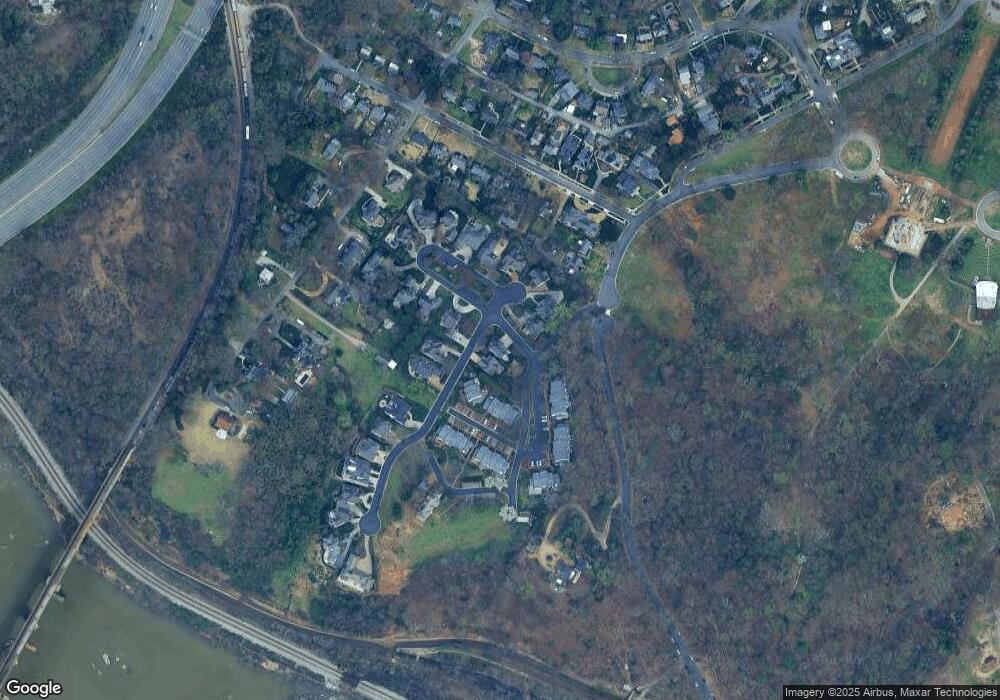
Map
Nearby Homes
- 12 Tow Path Ln S
- 3202 Sunset Ave
- 816 Blanton Ave
- 5210 Riverside Dr
- 701 Rothesay Rd
- 3803 Sulgrave Rd
- 4902 Riverside Dr
- 3412 Maplewood Ave
- 3324 Rosewood Ave
- 2324 N Riverside Dr
- 503 S Davis Ave Unit 4
- 2327 Maplewood Ave
- 2323 Rosewood Ave
- 1764 Leicester Rd
- 115 S Arthur Ashe Blvd
- 2320 Pineway Dr
- 2021 Lakeview Ave
- 2215 Rosewood Ave
- 1722 Leicester Rd
- 2019 Lakeview Ave
- 1 Tow Path Ln W
- 3 Tow Path Ln S
- 5 Tow Path Ct
- 20 Old Canal Rd
- 20 Old Canal Rd Unit N/a
- 1 Tow Path Cir
- 18 Old Canal Rd
- 16 Old Canal Rd
- 12 Old Canal Rd
- 11 James Falls Dr
- 11 James Falls Dr Unit 11
- 10 Old Canal Rd
- 3 Tow Path Ct
- 13 James Falls Dr
- 15 James Falls Dr
- 6 Tow Path Ln S
- 17 James Falls Dr
- 2 Tow Path Cir
- 3 Tow Path Cir