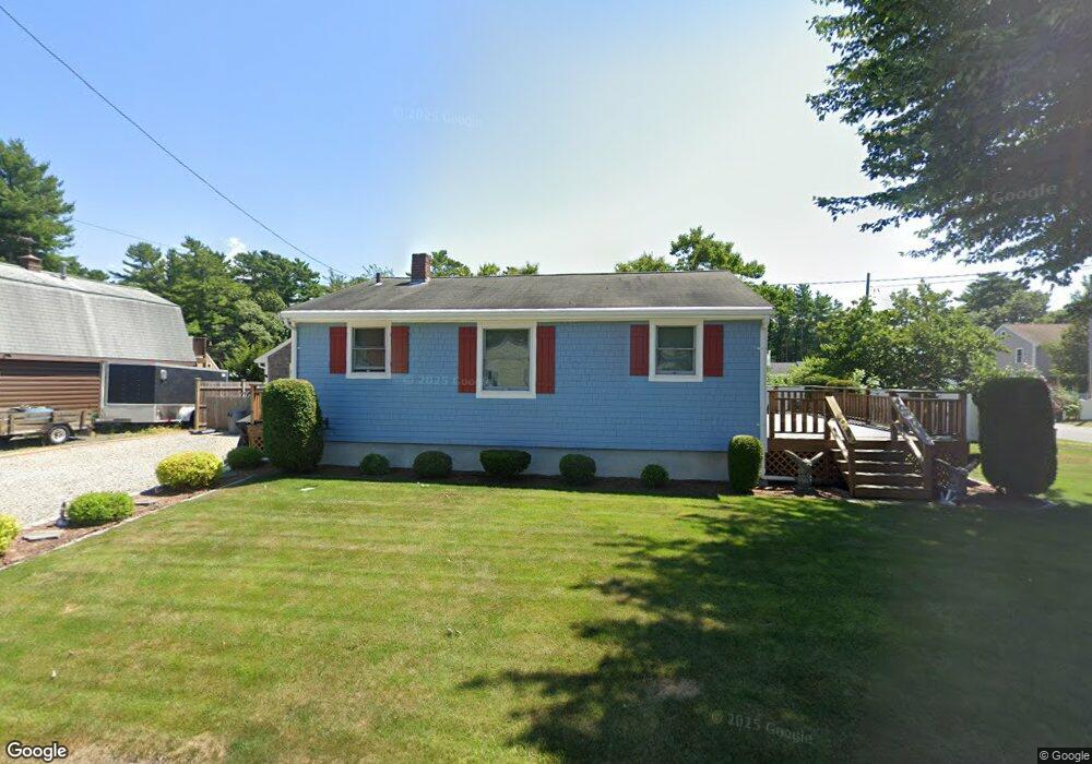
10 10th Ave Wareham, MA 02571
Weweantic NeighborhoodEstimated Value: $351,000 - $469,000
2
Beds
1
Bath
896
Sq Ft
$439/Sq Ft
Est. Value
About This Home
This home is located at 10 10th Ave, Wareham, MA 02571 and is currently estimated at $393,168, approximately $438 per square foot. 10 10th Ave is a home located in Plymouth County.
Ownership History
Date
Name
Owned For
Owner Type
Purchase Details
Closed on
Oct 28, 2014
Sold by
Moscaritolo Angela M
Bought by
10 Tenth Street Rt and Moscaritolo
Current Estimated Value
Purchase Details
Closed on
Sep 23, 2014
Sold by
Keenan Christopher J and Keenan Kathleen Q
Bought by
Moscaritolo Angela M
Purchase Details
Closed on
Sep 18, 1996
Sold by
Est Lydon Elizabeth F and Dutton M Patricia
Bought by
Sherman Stephen B and Sherman Leo
Create a Home Valuation Report for This Property
The Home Valuation Report is an in-depth analysis detailing your home's value as well as a comparison with similar homes in the area
Home Values in the Area
Average Home Value in this Area
Purchase History
| Date | Buyer | Sale Price | Title Company |
|---|---|---|---|
| 10 Tenth Street Rt | -- | -- | |
| 10 Tenth Street Rt | -- | -- | |
| Moscaritolo Angela M | $107,000 | -- | |
| Moscaritolo Angela M | $107,000 | -- | |
| Sherman Stephen B | $72,000 | -- |
Source: Public Records
Mortgage History
| Date | Status | Borrower | Loan Amount |
|---|---|---|---|
| Previous Owner | Sherman Stephen B | $118,000 | |
| Previous Owner | Sherman Stephen B | $35,000 | |
| Previous Owner | Sherman Stephen B | $30,000 |
Source: Public Records
Tax History Compared to Growth
Tax History
| Year | Tax Paid | Tax Assessment Tax Assessment Total Assessment is a certain percentage of the fair market value that is determined by local assessors to be the total taxable value of land and additions on the property. | Land | Improvement |
|---|---|---|---|---|
| 2025 | $2,980 | $286,000 | $104,400 | $181,600 |
| 2024 | $2,965 | $264,000 | $79,900 | $184,100 |
| 2023 | $2,845 | $236,500 | $72,700 | $163,800 |
| 2022 | $2,687 | $203,900 | $72,700 | $131,200 |
| 2021 | $2,660 | $197,800 | $72,700 | $125,100 |
| 2020 | $2,488 | $187,600 | $72,700 | $114,900 |
| 2019 | $2,363 | $177,800 | $65,700 | $112,100 |
| 2018 | $2,377 | $174,400 | $65,700 | $108,700 |
| 2017 | $2,195 | $163,200 | $65,700 | $97,500 |
| 2016 | $1,978 | $146,200 | $62,200 | $84,000 |
| 2015 | $1,911 | $146,200 | $62,200 | $84,000 |
| 2014 | $1,915 | $149,000 | $59,100 | $89,900 |
Source: Public Records
Map
Nearby Homes
- 10 10th Ave
- 8 10th Ave
- 9 10th Ave
- 9 10th Ave
- 67 Highland Shores Dr
- 7 9th Ave
- 7 10th Ave
- 9 9th Ave
- 5 10th Ave
- 5 9th Ave
- 5 9th Ave
- 4 10th Ave
- 70 Highland Shores Aka 14th Tenth Avenue Dr
- 70 Highland Shores Dr
- 13 9th Ave
- 14 9th Ave
- 77 Highland Shores Dr
- 3 9th Ave
- 66 Highland Shores Dr
- 66 Highland Shores Dr