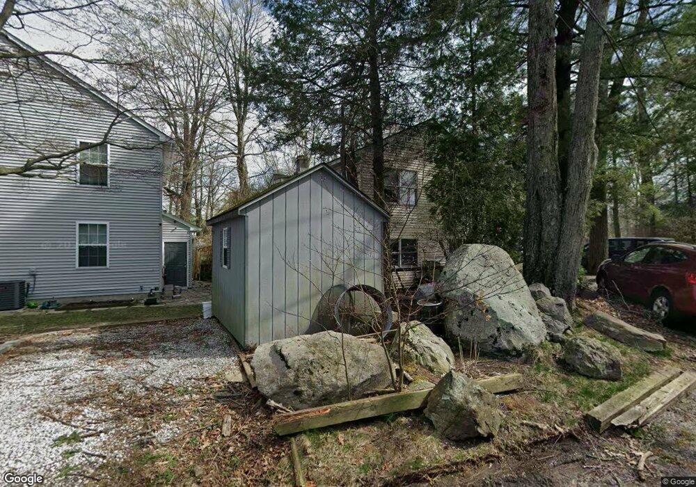
10 Allaire Rd Hewitt, NJ 07421
Estimated Value: $419,000 - $504,000
3
Beds
2
Baths
1,613
Sq Ft
$278/Sq Ft
Est. Value
About This Home
This home is located at 10 Allaire Rd, Hewitt, NJ 07421 and is currently estimated at $448,738, approximately $278 per square foot. 10 Allaire Rd is a home located in Passaic County with nearby schools including Macopin Middle School and West Milford High School.
Ownership History
Date
Name
Owned For
Owner Type
Purchase Details
Closed on
Jun 11, 2007
Sold by
Demirbulakli Beyhan
Bought by
Haim Alon
Current Estimated Value
Purchase Details
Closed on
May 4, 1999
Sold by
Federal National Mortgage Association
Bought by
Demirbulakli Aziz
Purchase Details
Closed on
Apr 12, 1999
Sold by
Harty Martin J and Harty Lisa M
Bought by
Federal National Mortgage Association
Purchase Details
Closed on
Feb 17, 1995
Sold by
Ricciardi Arnold
Bought by
Harty Martin and Harty Lisa
Home Financials for this Owner
Home Financials are based on the most recent Mortgage that was taken out on this home.
Original Mortgage
$78,000
Interest Rate
8.8%
Create a Home Valuation Report for This Property
The Home Valuation Report is an in-depth analysis detailing your home's value as well as a comparison with similar homes in the area
Home Values in the Area
Average Home Value in this Area
Purchase History
| Date | Buyer | Sale Price | Title Company |
|---|---|---|---|
| Haim Alon | $235,000 | -- | |
| Demirbulakli Aziz | -- | -- | |
| Federal National Mortgage Association | -- | -- | |
| Harty Martin | $80,000 | -- |
Source: Public Records
Mortgage History
| Date | Status | Borrower | Loan Amount |
|---|---|---|---|
| Previous Owner | Harty Martin | $78,000 |
Source: Public Records
Tax History Compared to Growth
Tax History
| Year | Tax Paid | Tax Assessment Tax Assessment Total Assessment is a certain percentage of the fair market value that is determined by local assessors to be the total taxable value of land and additions on the property. | Land | Improvement |
|---|---|---|---|---|
| 2025 | $7,147 | $176,300 | $63,100 | $113,200 |
| 2024 | $7,184 | $176,300 | $63,100 | $113,200 |
| 2022 | $6,819 | $176,300 | $63,100 | $113,200 |
| 2021 | $6,673 | $176,300 | $63,100 | $113,200 |
| 2020 | $6,602 | $176,300 | $63,100 | $113,200 |
| 2019 | $6,514 | $176,300 | $63,100 | $113,200 |
| 2018 | $6,498 | $176,300 | $63,100 | $113,200 |
| 2017 | $6,528 | $176,300 | $63,100 | $113,200 |
| 2016 | $6,539 | $176,300 | $63,100 | $113,200 |
| 2015 | $6,463 | $176,300 | $63,100 | $113,200 |
| 2014 | $6,306 | $176,300 | $63,100 | $113,200 |
Source: Public Records
Map
Nearby Homes
- 42 Witte Rd
- 8 Tyler Place
- 54 Shadyside Rd
- 24 Caldwell Rd
- 67 Hanover Rd
- 4 Wyckoff Ct
- 0 Brook Rd Unit 3989068
- 6 Florence Rd
- 119 Lake Shore Dr
- 00-1 Clinton Rd
- 3 Neptune Rd
- 628-630 N Lake Shore Dr
- 13 Landing Rd
- 54 Race Track Dr
- 12 Henry Rd
- 00 Jenkins Rd
- 0 Kresson Rd
- 28 Risley Rd
- 1761 Clinton Rd
- 40 Upper Greenwood Rd